How to Safely Operate a Drone in Urban Areas
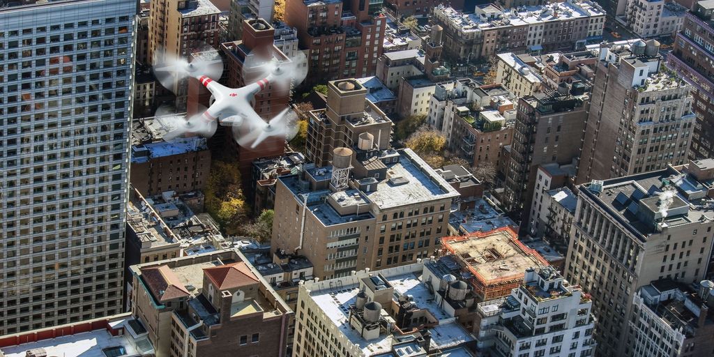
How to Safely Operate a Drone in Urban Areas
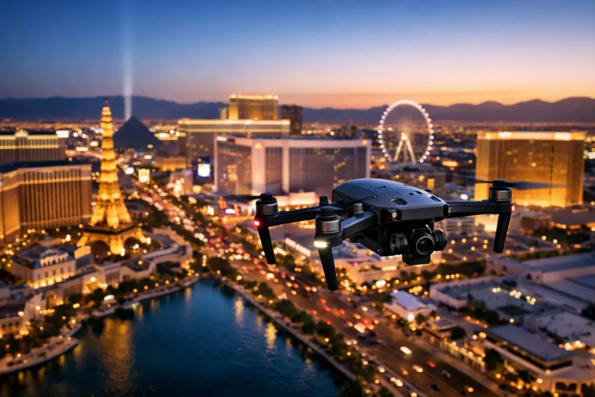
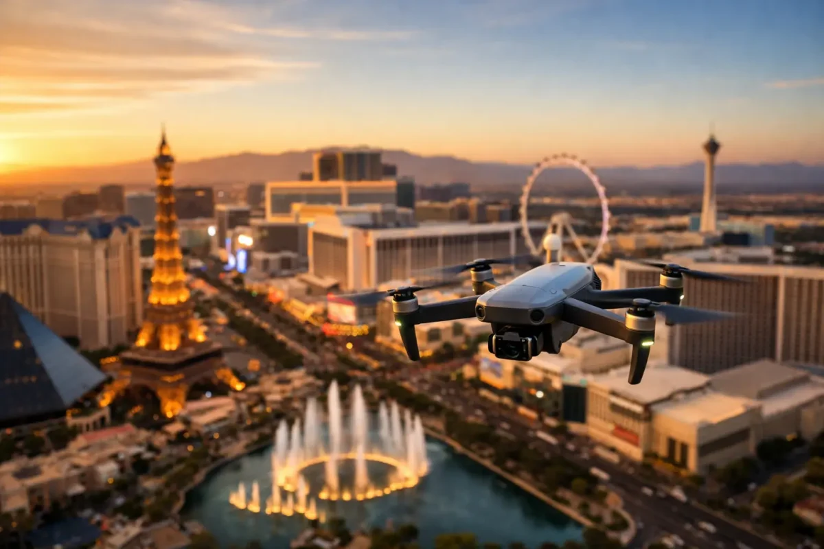
Operating a drone in an urban environment—whether capturing the bustling skyline of Las Vegas or surveying a high-density job site—can be both thrilling and highly demanding. Dense populations, towering architecture, and heavy electromagnetic interference make city flights complex.
Whether you are a recreational hobbyist or a licensed commercial operator, mastering the intricacies of urban drone flight is critical for safety, property protection, and regulatory compliance.
Key Takeaways
Know Before You Launch: Research municipal and FAA rules before taking off—especially in complex airspace like Las Vegas.
Execute Pre-Flight Checks: Inspect equipment, review hyper-local weather, and establish clear contingency plans.
Maintain Line of Sight (VLOS): Never rely strictly on your camera feed; keep visual contact and cap altitude at 400 ft AGL.
Prepare for Signal Loss: Understand sources of Electromagnetic Interference (EMI) and practice flying in manual ATTI mode.
Follow Post-Flight Protocols: Secure flight data, perform proper battery care, and log any incidents immediately.
1. Navigating Local & Federal Regulations
City-Specific Rules and Municipal Code
Before taking off in any city, you must verify local ordinances. Municipalities often enforce strict rules regarding where drones can launch, land, or operate. Start by reviewing the local city government website or consulting regional aviation authorities.
FAA Permits and Permissions
In the United States, all airspace is managed by the FAA. If you are flying commercially, you must hold a Part 107 Remote Pilot Certificate. Additionally, operating in controlled urban airspace (Classes B, C, D, or E) requires an automated LAANC (Low Altitude Authorization and Notification Capability) clearance or a custom FAA waiver.
Identifying No-Fly Zones
Urban environments are packed with restricted airspace. Common no-fly zones include:
-
Airports and helipads (frequently located near medical centers or city hubs)
-
Critical infrastructure and government facilities
-
Major outdoor stadiums and public gathering spaces
⚠️ Warning: Operating a drone without proper clearance can result in severe federal fines, civil penalties, and equipment confiscation.
2. Essential Pre-Flight Preparations
Thorough Equipment Inspection
Before powering up, conduct a comprehensive hardware audit:
-
Control Links: Verify responsive pairing between controller and aircraft.
-
Power Supply: Ensure batteries are fully charged and securely mounted.
-
Payload Balance: Confirm cameras or sensors don’t offset the drone’s center of gravity or overload motors.
Microclimate & Urban Weather Analysis
Cities create microclimates. Wind currents funnel between high-rises, creating severe updrafts and turbulence. Always check micro-weather forecasts for:
-
Wind Gusts: Ground-level speeds are often much lower than those at 200–400 feet between buildings.
-
GPS & Satellite Coverage: Ensure a strong satellite lock before takeoff.
-
Visibility: Avoid haze, rain, or low-cloud conditions.
Emergency & Contingency Protocols
Brief all crew members and visual observers on emergency protocols:
-
Define clear roles and communication channels.
-
Identify secondary emergency landing zones (ELZs) on ground level.
-
Review potential hazards, including overhead utility lines, construction cranes, and pedestrian traffic.
3. Safe Flying Techniques for Dense Cityscape Flight
       [ Max Altitude: 400 ft AGL ]
~~~~~~~~~~~~~~~~~~~~~~~~~~~~~~~~~~~~~~~~~~ ☁️

     🏢 [ High-Rise ]           🚁 [ Drone (In Visual Line of Sight) ]
     🏢
     🏢           🏢 [ Building ]
========================================== 🚸 (Avoid Crowds & Moving Vehicles)
Maintain Visual Line of Sight (VLOS)
Always keep your aircraft within direct, unassisted visual range. FPV camera feeds can lag or drop unexpectedly in high-density areas; relying solely on screen display increases collision risks.
Proactive Altitude Management
-
400-Foot Ceiling: Never exceed 400 feet above ground level (AGL) to avoid conflicts with crewed aircraft.
-
Structure Clearance: Identify the tallest structure in your flight envelope and maintain a safe clearance cushion above and around it.
Avoid Crowded Spaces & Traffic
Never fly directly over uninvolved people, open-air assemblies, or moving vehicles unless operating under specific FAA Category 1–4 guidelines with certified equipment. Choose wide-open launch and recovery spots with minimal foot traffic.
4. Overcoming Signal Loss & EMI (Electromagnetic Interference)
Identifying Sources of Interference
Urban zones are rife with electromagnetic noise that can disrupt drone-to-controller links and GPS signals. Major sources include:
-
High-voltage power lines and cell towers
-
Large concrete and steel structures (causing multipath GPS reflections)
-
Wi-Fi routers, radio towers, and dense smartphone traffic
Mastering Manual Control: ATTI Mode
When GPS is blocked by tall buildings or jammed by interference, your drone may drift. Switching to Attitude (ATTI) Mode disables GPS dependency and relies solely on onboard gyroscopes and barometers.
💡 Pro Tip: Practice flying in ATTI mode in a safe, open field before you attempt flying in complex urban environments. It is the most critical skill for recovering a drifting drone.
Signal Recovery Strategies
-
Limit Range: In high-EMI zones, keep the aircraft close (within 500–800 feet).
-
Elevate RTH Settings: Ensure your Return-to-Home (RTH) altitude is set higher than the tallest building or crane in the area to prevent automated collisions during signal drops.
-
Hover First: If the signal flickers, pause, hover, and re-establish line-of-sight elevation before taking manual action.
5. Post-Flight Procedures & Maintenance
-
Data Management: Immediately offload, organize, and back up images, telemetry files, and flight logs to secure storage.
-
Battery Care & Storage: Inspect LiPo batteries for swelling or high temperature. Allow them to cool before charging, and store them in temperature-controlled, fire-safe containers. Keep firmware updated.
-
Incident Logging: Document any near-misses, hardware anomalies, or signal losses in a logbook to refine future flight plans and improve safety.
6. Commercial Drone Operations & Construction Innovation
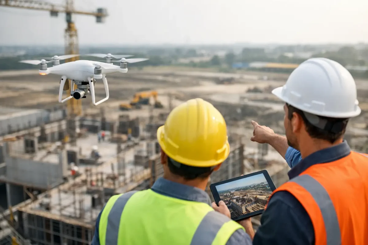
In sectors like commercial construction, drones are revolutionizing site management through topographic mapping, progress audits, and thermal inspections.
Best Practices for Commercial Pilots
-
Client Communication: Align expectations regarding noise, flight paths, and privacy concerns early in the planning process.
-
Documented Risk Assessment: Formally evaluate site risks, hazard zones, and mitigation plans prior to every commercial job.
-
Commercial Liability Insurance: Always carry dedicated aviation hull and liability insurance tailored to urban operations.
Frequently Asked Questions (FAQ)
Is it legal to fly a drone in urban areas?
Yes, flying a drone in urban areas is generally legal provided you comply with federal regulations (such as FAA Part 107 in the US), maintain line of sight, remain under 400 feet AGL, avoid flying directly over crowds, and secure airspace authorizations (LAANC) when required.
What are the main hazards of flying a drone in cities?
The primary risks include high signal interference (EMI), GPS disruption from tall buildings, unpredictable wind turbulence around structures, and a higher density of ground hazards, such as people and vehicles.
Do I need a permit to fly a drone in Las Vegas or other major cities?
In addition to federal airspace clearance, many cities require local film/flight permits or property release permissions—especially for commercial shoots in popular areas like the Las Vegas Strip. Always consult municipal film offices before flying.
How do I handle sudden GPS signal loss while airborne?
Switch the drone to ATTI Mode to maintain manual control, elevate it slightly to clear ground-level obstructions if safe to do so, and manually fly it back to your launch point.
Popular Posts
August 13, 2026
August 13, 2026
August 12, 2026
August 11, 2026
August 09, 2026
August 09, 2026
Comments are closed.