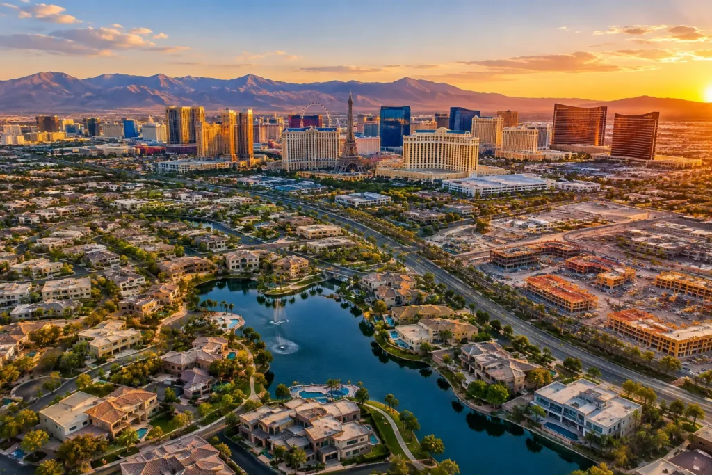
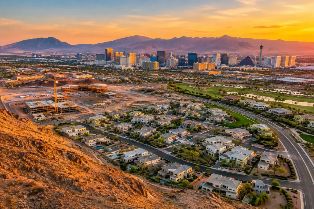
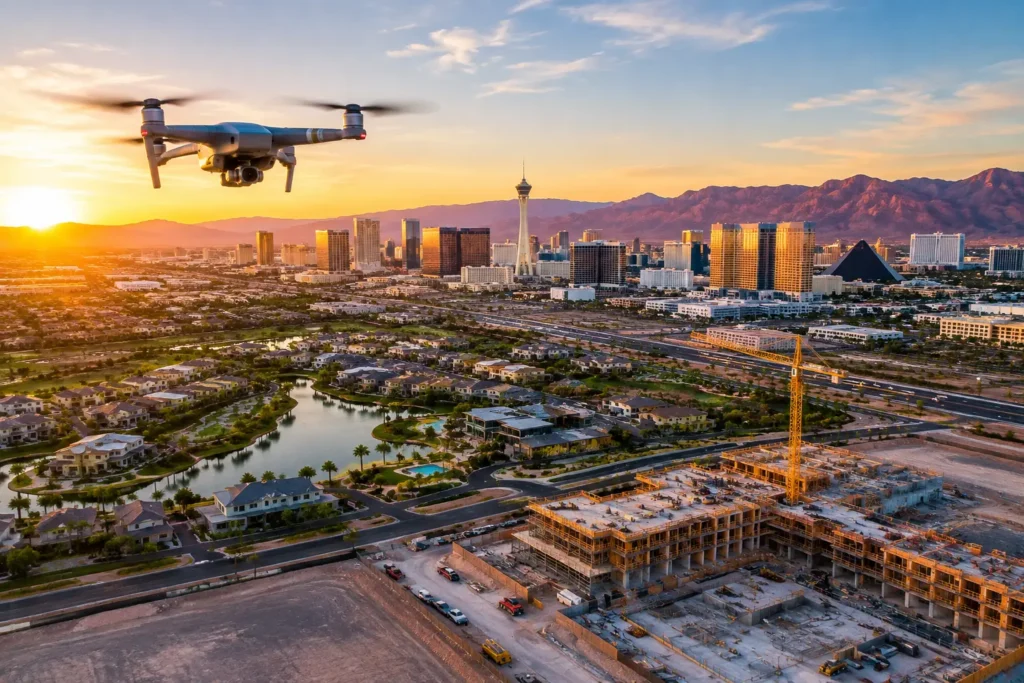
A listing can have beautiful interiors and still leave buyers with the most important question unanswered: What does the property actually look like in context? High-quality drone services answer that question with a clear, elevated view of the home, parcel, building, access points, amenities, and surrounding area. For Las Vegas real estate and development professionals, that perspective can turn a generic online listing into a property story that buyers, tenants, and investors can quickly understand.
Why High-Quality Drone Services Matter for Property Marketing
Aerial media is not simply a higher camera angle. It is a way to show scale, location, and opportunity in a single frame. A ground-level photo may highlight a building’s finishes, but it cannot fully show its proximity to a golf course, freeway interchange, retail center, mountain backdrop, major employer, or neighboring development.
That added context matters in a crowded market. Buyers scrolling through property portals make fast decisions about which listings deserve a closer look. Commercial prospects and investors also need to assess access, visibility, parking, lot configuration, surrounding uses, and development activity. Well-planned aerial photography and cinematic video help them begin that evaluation before a site visit.
The difference between basic drone footage and professional aerial production is intentionality. A qualified crew plans each flight around the property’s selling points, the intended audience, changing light, airspace restrictions, and the final marketing channel. The result should feel polished and useful, not like a collection of random overhead clips.
What Professional Aerial Production Should Include
High-quality drone services combine flight discipline with visual storytelling. The camera matters, but it is only one part of the production. A strong aerial project begins before the aircraft leaves the ground and continues through careful editing and delivery.
Flight Planning and Airspace Compliance
Las Vegas presents flight considerations that many markets do not. Properties may sit near controlled airspace associated with Harry Reid International Airport, Nellis AFB, or other restricted and sensitive areas. A professional operator evaluates the proposed location, confirms whether authorization is required, and plans the mission in accordance with applicable FAA rules.
This work protects both the client and the operator. Sending an unqualified pilot to capture a property near restricted airspace can cause delays, canceled shoots, or unnecessary liability. FAA-certified pilots, documented authorization where required, and appropriate insurance coverage replace that uncertainty with a managed production process.
Conditions also affect what can be captured. Wind, heat, glare, construction activity, temporary flight restrictions, and the property’s proximity to people or roadways may require a change to the flight plan. A dependable provider communicates those factors clearly rather than promising a shot that cannot be obtained safely or legally.
Composition That Sells the Full Property Story
Strong aerial stills are composed around the property’s value, not merely its footprint. For a residence, that may mean a front-elevation reveal, backyard amenities, lot position, neighborhood context, and a wide shot that captures the surrounding landscape. For a commercial asset, it may mean access roads, signage visibility, parking, loading areas, traffic corridors, and adjacent anchors.
Video adds movement and sequence. A measured approach shot can establish a property, while an elevated pullback can reveal its relationship to nearby amenities or open land. Overly fast turns, aggressive movements, and excessive effects can distract from the asset. The best edits feel confident and controlled, giving viewers time to understand what they are seeing.
Color correction, exposure balancing, and clean framing are equally important in the final deliverables. Las Vegas sunlight can create dramatic visuals, but it can also produce harsh contrast. Professional post-production preserves detail and delivers images and video that look consistent across listing platforms, presentations, social campaigns, and investor materials.
The Right Aerial Assets Depend on the Property
Residential listings often benefit from a concise set of high-resolution aerial photos and a short cinematic video. The goal is to build interest while showing features that ground photography cannot capture, such as a corner lot, pool layout, view corridor, gated community setting, or nearby recreation.
For commercial properties, the emphasis often shifts toward function and location. Aerial imagery can show a building’s relationship to highways, industrial corridors, retail centers, airport access, or areas of population growth. A broker marketing a retail pad, office building, warehouse, or multifamily property can use those visuals to make the location easier to evaluate from a distance.
Land and development projects require another approach. Here, aerial media can communicate parcel boundaries, topography, access, utility-adjacent infrastructure, nearby construction, and the broader path of growth. When paired with clearly labeled graphics or project renderings, aerial visuals help investors and stakeholders see what exists now and what the site may become.
Construction teams can use recurring flights for documentation, not just for promotion. Consistent aerial viewpoints create a record of progress, support stakeholder updates, and help teams communicate site conditions without requiring every decision-maker to be physically present. The purpose is planning clarity, so repeatable angles and dependable scheduling matter more than dramatic footage.
A Better Process Saves Time for Your Team
Aerial production should reduce work for agents, brokers, developers, and property managers. The process starts with a consultation that identifies the asset, target audience, intended use, required approvals, and preferred delivery timeline. It also clarifies whether the priority is listing marketing, investor communication, construction documentation, or a combination of those goals.
Before the flight day, the operator reviews the location and airspace requirements, plans safe takeoff and landing areas, and considers the best time of day based on the property’s orientation. Golden-hour visuals can be valuable for a luxury listing, while a daytime flight may better show commercial traffic patterns or construction progress. It depends on the message the visuals need to deliver.
On site, efficient operations are as important as attractive images. The pilot should coordinate around active tenants, construction crews, open houses, and property access requirements. After capture, the media is selected and edited into organized files that are ready for the channels your team actually uses.
Sky View LV supports this process with FAA-certified pilots, insurance coverage tailored from $1 million to $10 million, and experience managing authorized operations in complex Las Vegas airspace. That expertise allows clients to focus on the property while the aerial logistics are handled professionally.
How to Evaluate a Drone Service Provider
Price matters, but it should not be the only decision point. A low-cost flight can become expensive if the footage is unusable, the shoot is delayed because airspace was not checked, or the operator lacks sufficient coverage for the site.
When comparing providers, ask whether they can provide documentation of FAA certification and insurance, explain their airspace planning process, and show examples relevant to your type of property. Also confirm what is included in editing, how files will be delivered, and whether the proposed shot list supports your actual marketing objective.
A provider should also be willing to say when a requested shot is not advisable. That is a sign of professional judgment, not a lack of capability. Safe, compliant operations protect the project and preserve the credibility of the final media.
When Aerial Media Is Not the Whole Answer
Drone imagery works best as part of a complete visual package. It cannot replace interior photography, property walkthroughs, floor plans, or accurate listing information. Aerial footage can establish context and create momentum, but prospects still need details about condition, improvements, square footage, zoning, access, and lease or sale terms.
The strongest campaigns assign each asset a clear job. Ground photography shows detail. Video creates feeling and flow. Aerial imagery establishes scale and place. A 360-degree photo sphere can help a remote viewer orient themselves within a location. Together, these tools give serious prospects fewer reasons to move on to the next listing.
For a property with something meaningful to show beyond its front door, the right aerial plan makes that advantage visible. Begin with the question your audience needs answered, then build the flight around the view that answers it best.