Aerial Drone Services in Las Vegas That Sell
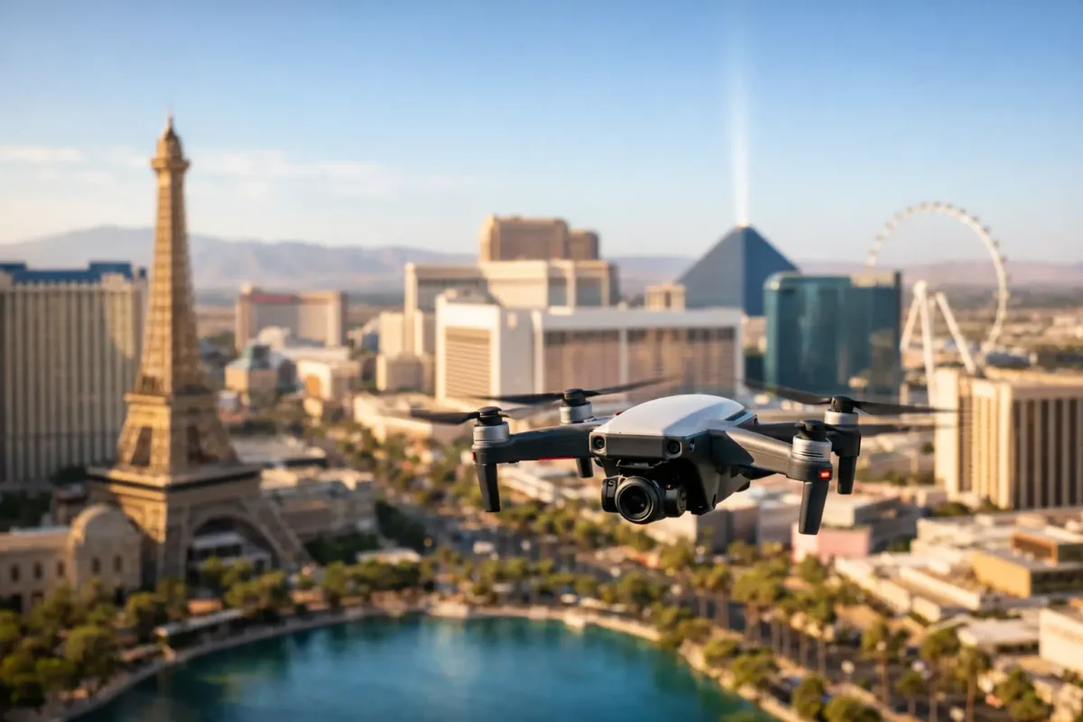
A vacant parcel near a major freeway, a luxury home with a resort-style backyard, and a construction site moving from grading to vertical build all have the same challenge: ground-level photos cannot show the full opportunity. For property teams comparing aerial drones services Las Vegas offers, the right provider does more than send up a drone. They create clear, polished visual evidence that helps people understand a property faster.
In a market where buyers, tenants, investors, and decision-makers often make their first judgment on a screen, aerial media earns attention by showing scale, access, surroundings, and momentum. The result is not simply a more attractive listing. It is a stronger way to market, evaluate, and document a visual asset.
Why aerial drone services in Las Vegas matter
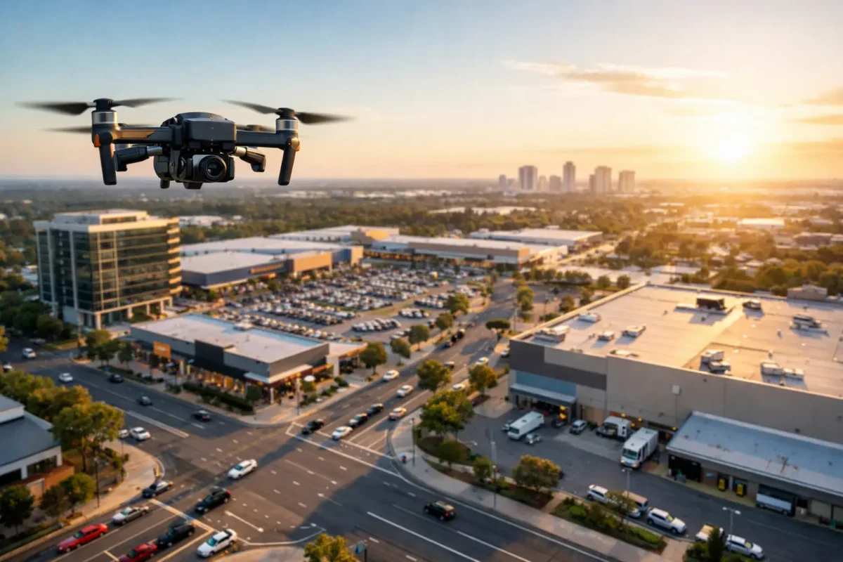
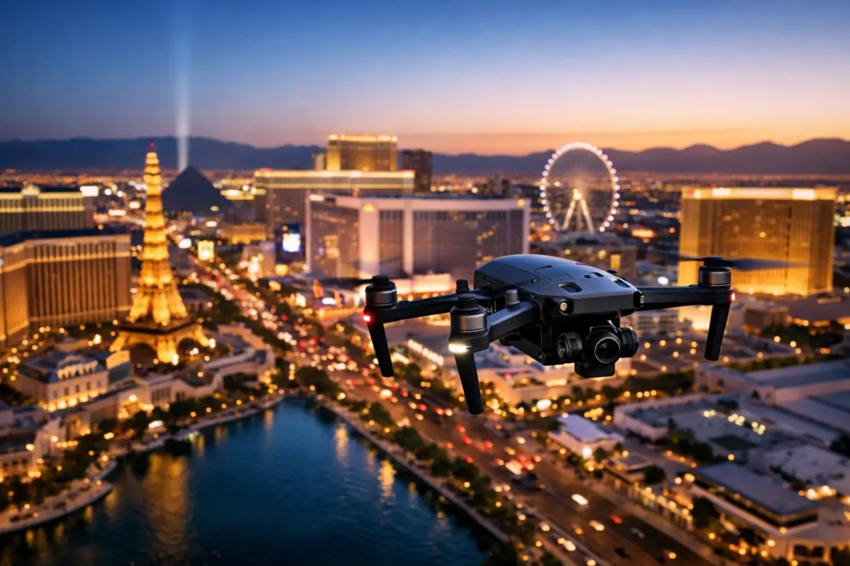
Las Vegas real estate is unusually dependent on context. Aerial photography can show how a home relates to golf courses, mountain views, community amenities, and the Strip skyline. For commercial property, it can establish freeway visibility, access routes, parking, nearby retail, surrounding development, and the land available for expansion.
That context can change the conversation. A ground photo may show a building’s exterior, but an elevated image can show its corner position, traffic exposure, adjacency to a logistics corridor, or proximity to a major destination. For a land listing, aerial images can make boundaries, topography, utility access, and nearby growth patterns easier to communicate before a prospect ever visits the site.
The goal is not to make a property look bigger than it is. It is to show the advantages that matter to the intended audience. That requires purposeful flight planning, not a handful of random overhead shots.
Better listing media creates a stronger first impression
Residential agents and sellers need listing assets that stop the scroll without losing credibility. High-resolution aerial stills can frame the whole property, reveal lot size, and feature exterior improvements that do not translate from street level. Cinematic aerial video adds movement and can create a compelling opening or closing sequence for a property film.
Aerial media works best when it supports the full listing package. Interior photography tells the story of finishes and layout. Ground-level exterior photos show curb appeal. Drone imagery supplies the larger setting. Used together, those assets give prospective buyers fewer unanswered questions and give agents more material for listing portals, social campaigns, presentations, and email marketing.
For luxury properties, the visual return is often immediate because amenities such as pools, outdoor kitchens, sports courts, view corridors, and gated entries are easier to appreciate from above. But drone photography is not limited to high-end homes. A standard residence with a large lot, a distinctive location, or useful nearby amenities can benefit just as much from a well-composed aerial perspective.
Commercial, land, and development projects need proof of context
Commercial marketing often asks a viewer to assess more than a building. They need to see the site in relation to roads, interchanges, neighboring businesses, distribution routes, parking fields, and the surrounding trade area. An aerial flyover can make those relationships visible in seconds.
For brokers and developers, this is especially useful when presenting properties to out-of-market investors. Aerial video gives remote stakeholders a grounded view of the asset and its setting, making a presentation feel more complete than a map, rendering, or written description alone. It can also support leasing efforts by showing access points, building scale, tenant surroundings, and the energy of the area.
Land marketing benefits from the same clarity. Whether the property is intended for residential development, industrial use, hospitality, or investment, a professional aerial capture can show the shape of the site and the opportunity around it. The best imagery is often paired with a deliberate shot plan that considers parcel boundaries, nearby infrastructure, terrain, and the views that may influence future development value.
Aerial media is persuasive, but it is not a substitute for surveys, engineering documents, zoning research, or due diligence. It is a powerful communication tool that helps those technical details make visual sense.
Construction imagery that supports decisions, not just marketing
Drone services have practical value long after the marketing brochure is complete. Construction teams can use recurring aerial photography and video to document progress from a consistent perspective, communicate milestones to owners and investors, and create a visual record of work as the project changes.
A scheduled flight can capture site grading, foundation work, structural progress, roof installation, exterior finishes, and final site improvements. When the same key angles are repeated over time, teams can compare progress with less ambiguity than a collection of disconnected jobsite photos.
This does not replace on-site inspections or safety procedures. It does provide a useful high-level record that can support meetings, stakeholder updates, planning discussions, and project archives. For large or difficult-to-access sites, the ability to view the whole property from above can save time and reduce the need to position personnel in inconvenient areas simply to obtain visual documentation.
FAA compliance is part of the service
Las Vegas has visually dramatic airspace, but it is not a place for casual commercial drone operations. Areas near Harry Reid International Airport, Nellis Air Force Base, and other controlled or sensitive airspace require informed planning and, when applicable, authorization before a flight takes place.
That is why hiring an FAA Certified Drone Pilot matters. A professional operator handles the flight planning, airspace review, weather evaluation, operational decisions, and required coordination. They also understand when a requested shot needs to be adjusted because of safety, legal, or site-specific conditions.
Insurance coverage matters for the same reason. Clients should ask whether a drone provider carries appropriate liability coverage for the project, especially for commercial sites, active construction areas, and properties with specific vendor requirements. Sky View LV offers coverage ranging from $1 million to $10 million, helping clients meet the expectations of property owners, managers, and project stakeholders.
The cheapest drone quote is not always the most economical choice. A flight that is delayed, noncompliant, poorly framed, or unusable in marketing creates more work for everyone. Professional aerial production reduces that risk by treating flight operations and post-production as one coordinated service.
What to expect from a professional aerial project
The process should begin with a focused consultation. The provider needs to understand the property’s purpose, target audience, desired deliverables, location, timing, and any site restrictions. A home listing may need a concise collection of elevated stills and a short video sequence. A development presentation may need wider establishing footage, progress views, and 360-degree photo spheres that let stakeholders examine the site from multiple angles.
From there, the operator develops a shot plan around the property’s strongest selling points. That could include an approach shot from the street, overhead views that establish the lot, oblique angles that show architecture, or a broader flyover that places the asset within the Las Vegas landscape. Light, weather, traffic patterns, and airspace requirements all influence what can be captured and when.
After the flight, professional editing turns raw footage into usable marketing media. Color, pacing, framing, and image selection should reinforce the property’s position rather than distract from it. The deliverable should feel polished enough for a listing campaign or investor presentation, while remaining accurate to the asset itself.
Choosing the right aerial partner
Look beyond the drone model. Ask whether the pilot is FAA certified, insured, experienced with your type of property, and equipped to manage local airspace requirements. Review whether the provider can produce both still photography and video, and discuss the intended use before the flight so the capture plan matches the campaign.
Turnaround time is also worth discussing, particularly for active listings and construction milestones. At the same time, speed should not come at the expense of safe conditions or quality editing. A strong provider will be direct about what is possible, what requires authorization, and what weather or location factors may affect scheduling.
The most valuable aerial project is one that gives your audience a reason to look longer and a clearer reason to act. Whether you are marketing a home, presenting a commercial opportunity, documenting a build, or showing investors the shape of a future project, the right view from above can make the property easier to understand before the first call is made.
Popular Posts
August 15, 2026
August 14, 2026
August 13, 2026
August 13, 2026
August 12, 2026
August 11, 2026
Comments are closed.