Key Takeaways
-
Elevates Real Estate Visuals: Showcases full property bounds, neighborhood features, and architectural details that standard photos miss.
-
Drives Social Engagement: Captures unique high-angle visuals that increase video watch time, social shares, and brand recall.
-
Optimizes Construction Operations: Enables efficient site monitoring, accurate 3D mapping, and remote safety audits.
-
Delivers High-ROI Media: Produces cinema-quality marketing assets at a fraction of the cost of traditional helicopter or crane setups.
1. Transforming Real Estate Marketing
Standard ground-level photography often fails to capture a property’s full context and footprint. Professional commercial drone photography bridges this gap by providing prospective buyers with a comprehensive view of lot boundaries, spatial layouts, and local infrastructure.
-
Highlight Property Context: Show proximity to nearby highways, top-rated school districts, parks, and retail centers in a single frame.
-
Accentuate Architectural Features: Seamlessly capture complex rooflines, custom hardscaping, outdoor living spaces, and sprawling lot dimensions.
-
Increase Perceived Listing Value: High-resolution aerial media creates a polished, premium presentation that justifies higher asking prices and accelerates sales velocity.
2. Boosting Social Media Reach & Brand Engagement
Visual social algorithms heavily favor unique, high-retention content. Aerial video footage and drone photos naturally stand out in crowded feeds, capturing user interest within the first few seconds.
-
High-Shareability Content: Eye-catching overhead imagery drives more likes, saves, and shares across platforms such as Instagram, LinkedIn, and Facebook.
-
Piques Audience Curiosity: Perspectives captured from 100+ feet in the air create effective “pattern interrupts” for users scrolling through routine feeds.
-
Strengthens Brand Authority: Consistent use of high-definition aerial visuals positions your business as an innovative industry leader leveraging modern technology.
3. Driving Tourism & Hospitality Conversions
For hotels, luxury resorts, and destination marketing organizations (DMOs), perspective is everything. Aerial photos capture the full scope of a destination in a single, immersive visual.
-
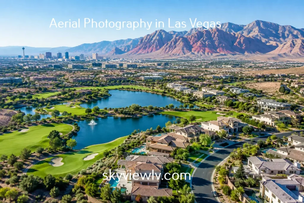
Showcase Resort Amenities: Effortlessly display pools, golf courses, beachfront access, and expansive event venues.
-
Promote Iconic Destinations: Highlight surrounding geographic features and landmarks for famous tourism hubs like Las Vegas aerial view destination guides to build pre-trip excitement.
-
Interactive Virtual Tours: Integrate 360-degree aerial panoramas into your website landing pages to reduce bounce rates and boost direct booking conversions.
4. Construction Site Progress & Precision Monitoring
Aerial drone photography is an essential operational tool for commercial developers, general contractors, and project managers.
-
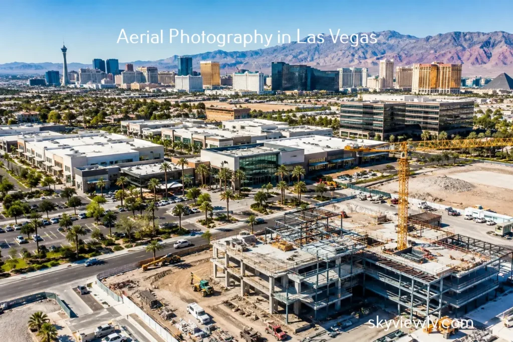
Progress Tracking: Repeated autonomous flight paths capture the same camera angles over weeks or months, creating seamless timeline documentation.
-
3D Mapping & Photogrammetry: Drone scans generate accurate spatial models and topographic maps to flag site issues before they become costly delays. Learn more about drone photogrammetry and site mapping solutions.
-
Enhanced Job Site Safety: Perform remote safety inspections of high-voltage equipment, roofs, or towers from the ground, in compliance with FAA Part 107 safety guidelines.
5. Precision Agriculture & Crop Management
Modern agricultural operations rely on aerial imagery and multispectral sensors to optimize resource distribution and maximize crop yields.
-
Early Problem Detection: Spot pest infestations, irrigation leaks, and soil nutrient deficiencies early via high-altitude thermal and visual imaging.
-
Targeted Resource Allocation: Reduce fertilizer and water waste by applying treatments precisely where needed across large fields.
-
Accurate Yield Forecasting: Analyze canopy health and density metrics to forecast harvests and streamline supply chain logistics well in advance.
6. Capturing Scale at Events and Festivals
Ground-level photos struggle to convey crowd size, layout, or overall energy for major events, outdoor concerts, and sports tournaments.
-
Bird’s-Eye Perspectives: Display the grand scale, crowd density, and venue layout of high-capacity events.
-
Dynamic Promotional Media: Capture high-angle action footage to produce compelling trailer clips and promotional reels for future event marketing campaigns.
7. High-ROI Aerial Marketing Solutions
Advances in UAV (unmanned aerial vehicle) technology have made high-end aerial content accessible and affordable for organizations of all sizes.
-
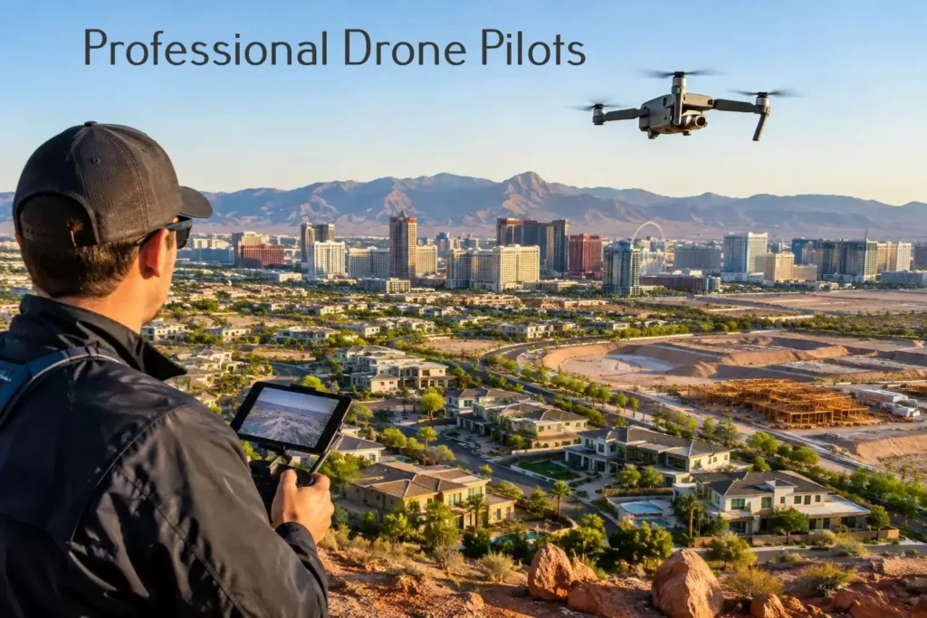
Lower Production Costs: Replace traditional helicopter rentals, pilots, and heavy crane rigs with a single licensed FAA remote pilot.
-
Multipurpose Content Engine: Repurpose high-resolution aerial assets across your website hero banners, print brochures, social channels, and video advertising campaigns.
-
Higher Search Rankings: Engaging video content keeps visitors on your site longer (increasing time on page), directly improving user engagement metrics and search engine rankings.
Frequently Asked Questions
What are the main benefits of aerial photography in marketing?
Aerial photography provides unique high-angle perspectives, enhances visual storytelling, increases user engagement across digital channels, and communicates property bounds or project scale far better than traditional ground photography.
How does drone footage improve real estate listings?
It highlights surrounding neighborhood amenities, lot boundaries, roof conditions, and proximity to key locations, helping buyers evaluate properties faster and boosting overall inquiry rates.
Is commercial drone photography cost-effective?
Yes. Modern drone technology delivers broadcast-quality visuals at a fraction of the cost associated with traditional aerial platforms like manned helicopters or specialized camera jibs.
How does aerial imaging assist construction project management?
It enables remote progress monitoring, high-risk safety audits, 3D photogrammetry site mapping, and detailed timeline tracking without disrupting daily ground operations.