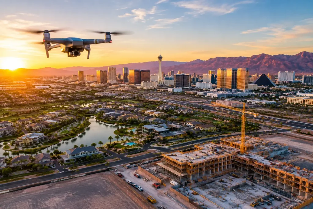
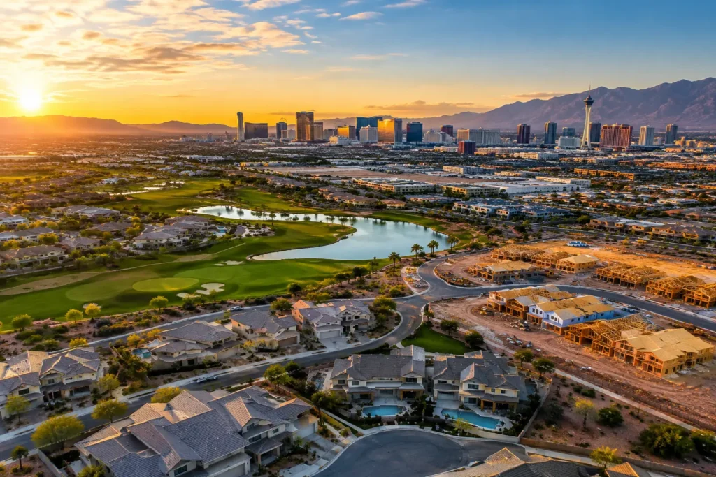
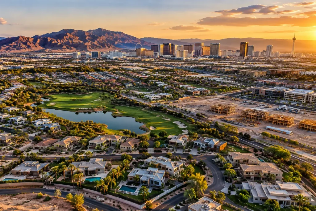
A commercial building can look impressive from the curb and still leave the most valuable questions unanswered. Where are the access points? How close is the freeway interchange? What surrounds the site? How does the property sit within the retail corridor, industrial park, resort area, or planned development?
Commercial property flyovers answer those questions in seconds. A professionally planned aerial video turns a collection of property details into a clear visual story—one that helps prospective buyers, tenants, lenders, and investors understand the opportunity before they schedule a visit.
For Las Vegas commercial real estate, that context carries real weight. Aerial media can show proximity to the Strip, major resort corridors, distribution routes, convention traffic, growing residential communities, and the open land that signals future development. The goal is not simply to make a building look good from above. It is to make the property’s position, access, scale, and potential easier to see.
What Commercial Property Flyovers Actually Show
A flyover is a planned aerial video sequence that presents a commercial site from elevated, moving perspectives. It may begin with a wide establishing shot, move toward the building or parcel, reveal access roads and parking, and finish with a view that places the property in its larger market.
The right sequence depends on the asset. A retail center may need clear footage of signage, traffic flow, parking capacity, nearby anchors, and surrounding rooftops. An industrial property may benefit from views of loading areas, truck access, rail adjacency, yard space, and highway connections. For land, the priority is often boundary context, terrain, surrounding development, utilities, road frontage, and nearby demand drivers.
That is why a flyover should not be treated as a generic drone clip. It is a marketing and communication asset built around the questions a specific audience is likely to ask.
Why Aerial Context Moves Commercial Decisions Forward
Commercial prospects rarely evaluate a property in isolation. They are comparing location, logistics, visibility, growth potential, and operational fit. Ground-level photography remains essential for interiors, finishes, entrances, and tenant spaces, but it cannot efficiently communicate the full site relationship.
Aerial video closes that gap. It can show that a medical office building is minutes from a hospital campus, that a warehouse has direct access to a major transportation route, or that a development parcel lies adjacent to expanding residential construction. Those are not decorative details. They affect how buyers and tenants assess value.
For brokers, the practical advantage is stronger early-stage engagement. A well-produced flyover gives an out-of-market investor or busy decision-maker a faster read on the asset. For developers, it provides a useful way to communicate the vision for a site before the project is finished. For property managers, it can help present a center’s accessibility, upkeep, parking configuration, and nearby amenities.
The footage also earns its place across multiple channels. A concise property video can support a listing presentation, email campaign, social post, investor package, leasing pitch, or project update. One flight can produce multiple polished clips and aerial stills when the production plan is built around those uses from the start.
The Difference Between a Flyover and Random Drone Footage
Anyone can point a drone toward a building. Professional commercial aerial production is defined by what happens before the aircraft takes off.
Flight planning begins with the property objective. Is the video intended to support a sale, attract tenants, document construction progress, or explain a site’s development potential? The answer determines the shot list, altitude, camera movement, time of day, and final edit.
A strong commercial flyover also respects pacing. A video that moves too quickly may feel energetic but fail to communicate useful details. One that lingers too long on broad shots can lose a viewer before it reaches the property’s best features. The best approach balances cinematic motion with enough visual clarity for business decisions.
Editing matters just as much. Stabilized footage, intentional color work, clean transitions, and concise runtime make the property feel considered and credible. In a crowded listing environment, rough footage can undermine an otherwise premium asset. A polished presentation tells viewers that the seller, broker, or developer understands the value of the opportunity.
Airspace Compliance Is Part of the Deliverable
Las Vegas presents a particular challenge for commercial drone work because many properties fall near controlled or sensitive airspace. A flight that appears simple on a map may require airspace authorization, location-specific planning, or operational restrictions based on nearby airports and military facilities.
That is not a detail to solve on shoot day. It should be addressed before a production date is confirmed. FAA-certified drone pilots evaluate the site, determine what permissions and flight parameters apply, monitor operating conditions, and conduct the mission within applicable rules. Insurance coverage is also a meaningful consideration when crews are working around active properties, construction operations, vehicles, or occupied buildings.
Hiring a qualified provider relieves the client of the burden. There is no need to purchase aircraft, train staff, maintain equipment, study airspace rules, obtain coverage, or hope that someone with a drone understands commercial operations. Sky View LV provides FAA-certified pilots, insured operations, and local airspace expertise to plan aerial productions responsibly.
Compliance can affect creative choices. The desired wide, high-altitude reveal may not be available at every location, while a lower, carefully planned route may still tell the story exceptionally well. Professional execution means working within the site’s operational reality while producing footage that remains useful and visually compelling.
Planning a Flyover That Supports the Deal
Before filming, identify the audience and the decision the video should support. A leasing campaign aimed at retail tenants needs a different message than an investment offering for an industrial acquisition. This simple distinction prevents the finished footage from becoming attractive but unfocused.
Start with the property’s strongest points: road access, visibility, surrounding anchors, available land, loading configuration, parking, walkability, or nearby amenities. Then consider what requires explanation. Aerial video is particularly effective when the value is hard to capture from ground level, such as a parcel’s position within a larger master plan or the distance between a building and major transportation infrastructure.
Timing should be intentional as well. Morning or late-afternoon light often adds depth and texture to a building facade, while midday can be useful when clear visibility and neutral shadowing are the priority. For active retail, hospitality, or construction properties, the client may also want footage that reflects a specific level of activity. It depends on whether the story is about vibrancy, accessibility, progress, or available capacity.
A short final video usually performs best for marketing, particularly when viewers first encounter it on a listing page or mobile device. Longer edits can be appropriate for investor presentations, development proposals, or construction documentation. Delivering both a concise promotional version and selected longer sequences is often the most flexible option.
More Than Marketing: A Tool for Development and Documentation
Commercial property flyovers are valuable well before a building is listed or fully built. Developers can use aerial imagery to show site preparation, vertical progress, adjacent infrastructure, and the evolving relationship between a project and its surroundings. Construction teams can create a consistent visual record across milestones, making it easier to communicate progress to owners, stakeholders, and remote partners.
For landowners, aerial footage can clarify acreage, access, terrain, neighboring uses, and nearby growth. This is especially useful when a prospective buyer cannot immediately visit the property or needs to understand a larger tract in relation to roads, utilities, and development patterns.
There are limits, of course. Aerial media should complement, not replace, accurate site plans, surveys, disclosures, interior photography, and on-the-ground due diligence. It can make a complex property easier to understand, but it should not imply boundaries, access rights, or development approvals that have not been verified. Clear messaging protects credibility.
A Better First Look at the Property
The commercial real estate market rewards clarity. When a prospect can immediately see how a site connects to the surrounding roads, businesses, neighborhoods, and infrastructure, the conversation starts from a more informed place.
A well-planned flyover gives your property more than a dramatic opening shot. It gives the right audience a reason to look closer, ask better questions, and picture what the site can become.