Drone Imagery for Real Estate Developers
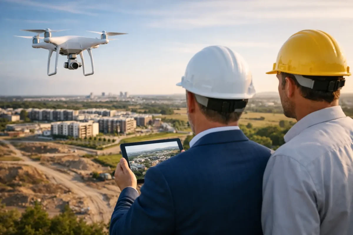
From street level, a development site can look like graded dirt, fencing, and a temporary trailer. From above, it becomes a story: acreage, access points, nearby rooftops, mountain views, traffic corridors, retail anchors, and the project’s future relationship with its market. That is why drone imagery for real estate developers is not simply a more attractive version of property photography. It is a business asset for shaping perception before a project is built, documenting progress while it is underway, and communicating value when every stakeholder needs a clear view.
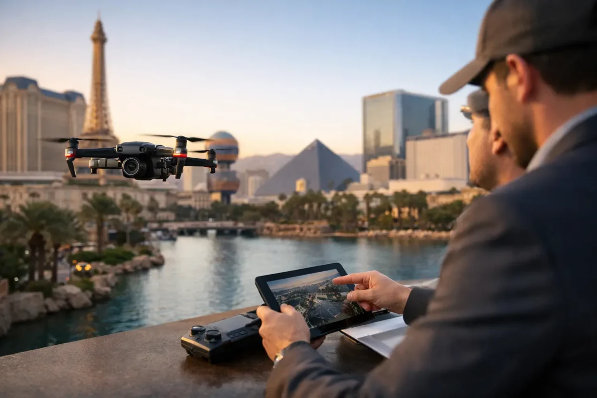
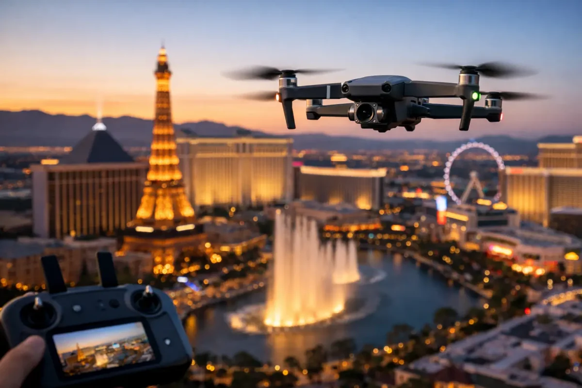
For Las Vegas developers, that perspective carries particular weight. Buyers, tenants, investors, and project partners often need to understand how a site fits within a fast-changing landscape. Aerial stills and cinematic video can show proximity to the Strip, resort corridors, employment centers, freeway access, master-planned communities, and the open desert beyond the property line – all in a format that makes sense in seconds.
Why Drone Imagery for Real Estate Developers Works
Developers sell a future state. Traditional photography is essential for finished interiors, streetscapes, and details, but it cannot always explain the scale of a parcel or the strategic advantages of its location. Aerial imaging fills that gap by showing the property in context.
A high-resolution overhead image can clarify the site boundary, planned footprint, ingress and egress, utility-adjacent areas, and neighboring uses. An oblique aerial angle can make a future retail center, multifamily community, industrial property, or mixed-use project feel connected to the surrounding market. Video adds movement and pacing, guiding a viewer from the regional view toward the site and then down to the details that matter.
This is especially useful when a project is early in the cycle. Before a building is complete, a development team may need to earn interest with land marketing packages, investor presentations, entitlement materials, leasing outreach, or public-facing project updates. Strong aerial assets help replace assumptions with evidence.
The goal is not to make a site appear larger or more dramatic than it is. Professional drone production should make the opportunity easier to understand. The best visuals are accurate, intentionally composed, and selected for the audience who will review them.
Match the Flight Plan to the Business Objective
The right drone deliverables depend on what the project needs to accomplish. A land listing aimed at developers and investors calls for a different approach than a construction update intended for lenders, owners, and project managers.
For pre-development marketing, the priority is usually geographic context. Wide aerial photographs can establish the site within its surrounding road network, nearby commercial activity, and important demand drivers. A carefully planned video may show a route from a recognizable landmark to the parcel, helping remote investors understand travel time and visibility without relying solely on a map.
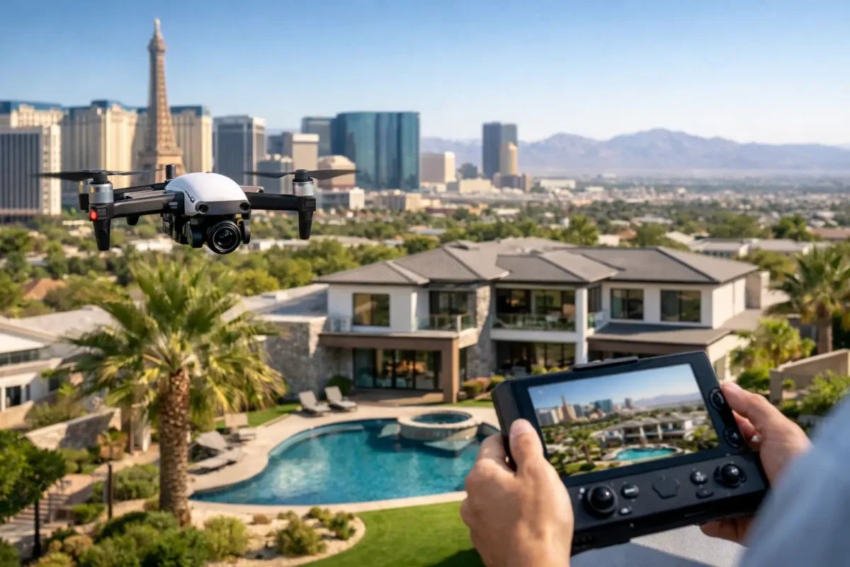
For leasing and sales efforts, visual emphasis may shift toward access, neighboring tenants, building scale, parking, loading areas, and views from key elevations. For luxury residential or resort-oriented development, the value may lie in showcasing sightlines, access to amenities, city lights, golf courses, or mountain backdrops.
Construction documentation has a more practical purpose. Repeat aerial captures from consistent positions create a visual record of site progress, exterior milestones, roofing, grading, staging, and surrounding changes. That record can support internal reporting, owner updates, milestone presentations, and marketing preparation as completion approaches.
A useful production plan starts with a simple question: who needs to act after seeing this media? An investor may need confidence in location and scale. A prospective tenant may need to see access and nearby demand. A project team may need a reliable view of progress. Each purpose affects flight paths, shot selection, edit length, and the final mix of stills, video, and 360-degree photo spheres.
The Las Vegas Airspace Factor
Las Vegas is visually ideal for aerial media, but professional drone operations here require more than a capable camera. Portions of the valley are affected by controlled airspace, airports, military activity, temporary flight restrictions, and location-specific operating limitations. A pilot cannot assume that a drone can fly at any property simply because the site is outdoors.
This matters around Harry Reid International Airport, Nellis Air Force Base, and other sensitive areas. Flight approval requirements, altitude limits, timing, and operational conditions can vary by location. A development team that hires a qualified provider avoids placing that research, coordination, and liability on an internal employee or an unverified operator.
FAA-certified drone pilots bring more than flight skills. They handle pre-flight planning, airspace review, weather evaluation, site safety, and the operational judgment required to capture useful media without disrupting the project. Insurance coverage is equally important. Commercial sites have people, equipment, moving vehicles, active work zones, and high-value assets. Professional coverage helps protect both the client and the operator.
There are times when an aerial shoot may need to be rescheduled, adjusted, or captured within an approved operational window. That is not a failure of planning. It is the discipline that separates compliant commercial production from a risky shortcut. Reliable partners explain those variables early and build the schedule around on-site conditions.
What High-Value Aerial Assets Should Include
Aerial media earns its place in a development marketing budget when it is designed for real use, not just a one-time social post. Developers should receive assets that can support presentations, property websites, email campaigns, investor materials, listing platforms, leasing outreach, and project announcements.
A complete package often combines wide establishing images with medium-height angles and lower-detail shots. The wide image establishes the market. The middle view reveals roads, adjacent properties, and site configuration. The closer images show architecture, construction activity, building features, or the elements that make the project distinct.
The video should be edited with a purpose. A short, polished property film can establish location, build anticipation, and create a stronger first impression than static imagery alone. Yet longer is not always better. For a land offering, a concise sequence that shows regional context, access, and parcel scale may be more effective than a cinematic montage that lacks a clear message.
It also pays to think beyond the launch date. Aerial images can be captured at key phases: raw land, site work, vertical construction, exterior completion, and stabilized occupancy. Over time, those assets create a compelling visual timeline of execution. For developer brands, that timeline can demonstrate capability to future partners as effectively as it markets the current project.
Avoiding the Common Mistakes
The most common mistake is treating drone work as an add-on requested at the last minute. By then, the site may be crowded, landscaping may not be ready, construction conditions may be less favorable, or airspace planning may limit the desired schedule. Bringing aerial production into the marketing plan early gives the team more flexibility.
Another mistake is requesting generic “drone shots” without identifying the story. A site near a major freeway needs a visual strategy that shows its access. A project near the destination retail needs to show that relationship. A hillside property may need to emphasize view corridors. Generic footage can look attractive while failing to answer the buyer’s real questions.
Finally, do not overlook ground coordination. Construction managers should know when the crew will be on site, which areas will be filmed, and whether workers, vehicles, or equipment need to be excluded from specific shots. A clear plan protects safety and leads to cleaner, more useful deliverables.
A Better Way to Plan Aerial Production
Start with the decision the media needs to support, then identify the site features that prove the point. Share a site plan, concept rendering, target audience, key amenities, and any project milestones. This gives the aerial team direction before the drone takes off.
Next, allow time for location review and airspace planning. This is particularly important in Las Vegas, where flight feasibility can be more complex than it appears. A professional provider can then recommend the appropriate capture window, angles, deliverables, and contingency plan.
Sky View LV approaches aerial production as both a creative service and a practical resource for projects. With FAA-certified pilots, commercial insurance coverage, and experience navigating the Las Vegas operating environment, the focus stays on delivering polished media without asking development teams to manage equipment, editing, flight planning, or regulatory details themselves.
A well-planned aerial shoot does more than make a development look impressive. It gives the right audience a reason to picture the project in its finished place. When that picture is clear, a site stops being a set of coordinates and starts becoming an opportunity worth pursuing.
Popular Posts
August 22, 2026
August 20, 2026
August 19, 2026
August 18, 2026
August 17, 2026
August 16, 2026
Comments are closed.