The Ultimate Guide to Drone Photography in Las Vegas
Las Vegas, known worldwide as the “Entertainment Capital of the World,” is famous for its glowing neon skyline, iconic resort architecture, and breathtaking desert landscapes. From the world-famous Las Vegas Strip to the dramatic red sandstone cliffs of Red Rock Canyon, southern Nevada offers an incredible visual canvas.
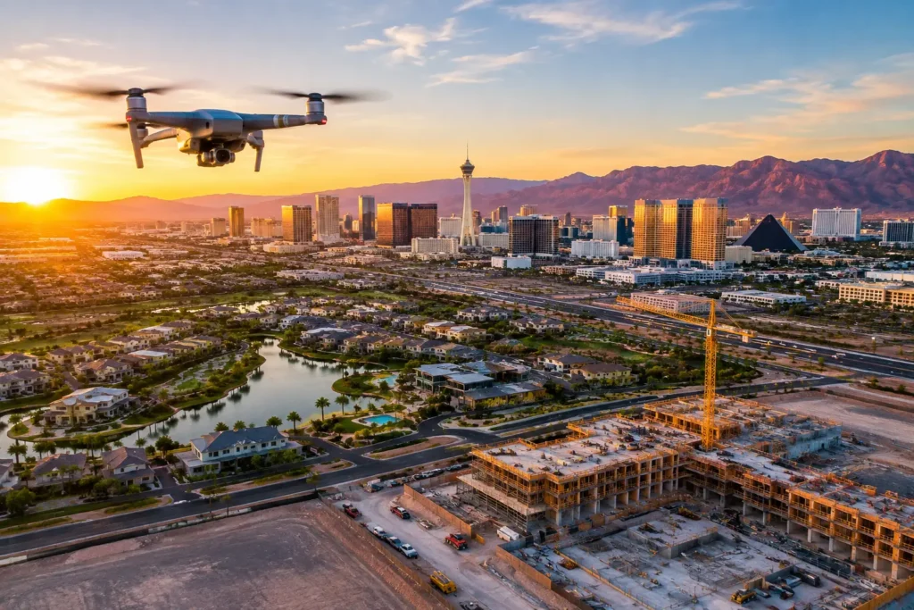
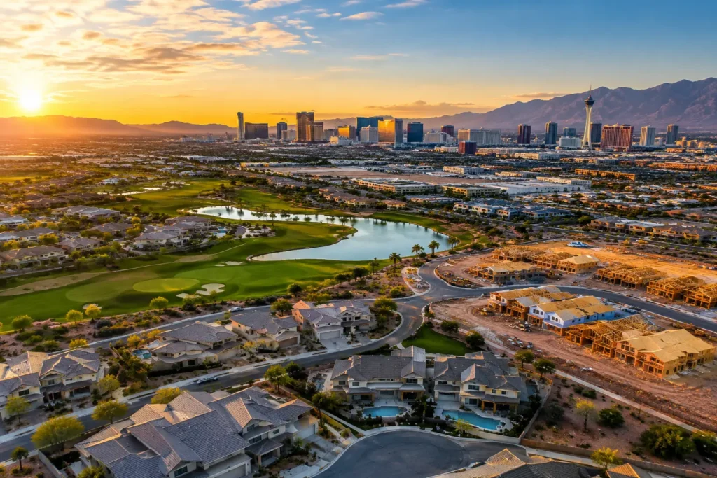
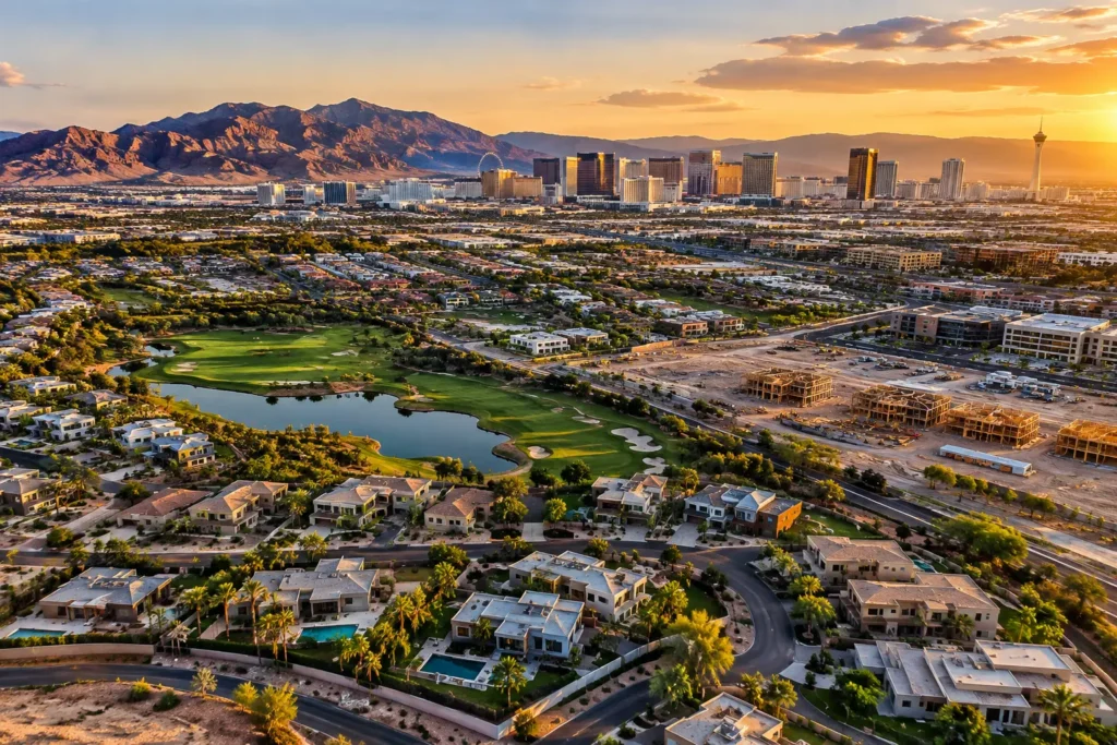
The best way to capture this grandeur is from above. Professional aerial photography provides an incredible vantage point that elevates marketing materials, real estate listings, and creative video productions.
If you are searching for a trusted aerial photography company in Las Vegas, Sky View LV offers high-resolution aerial photography and video services tailored to your project needs.
What is Commercial Drone Photography?
Drone photography uses Unmanned Aerial Vehicles (UAVs) equipped with high-resolution, stabilized camera systems to capture ultra-crisp aerial stills and up to 4K/6K video footage.
Drone technology has revolutionized media production. What once required expensive helicopter rentals, specialized camera mounts, and complex logistics can now be captured smoothly, safely, and cost-effectively by a licensed remote drone pilot.
Key Benefits of Drone Photography in Las Vegas
Whether showcasing luxury commercial real estate or filming dynamic event footage, hiring a professional drone service offers key advantages:
1. Unmatched Visual Angles & Perspectives
Drones can operate smoothly at low altitudes, mid-level vantage points, or high overhead views up to 400 feet. This maneuverability captures unique architectural symmetries, site perimeters, and surrounding vistas impossible to reach from the ground.
2. Versatility Across Industries
Aerial videography and photography deliver immense value across multiple sectors:
-
Real Estate & Development: Highlight property boundaries, architectural features, pool layouts, and proximity to local attractions.
-
Construction & Site Monitoring: Track project progress with periodic aerial surveys and detailed mapping photos.
-
Commercial Marketing & Events: Boost social media engagement and brand campaigns with high-impact promotional visuals.
3. High-Definition Cinematic Video & Time-Lapse
Equipped with advanced gimbal stabilization and high dynamic range sensors, professional drones capture smooth cinematic sweeps, dramatic orbit shots, and dynamic time-lapse sequences that bring the energy of Las Vegas to life.
Navigating the Legal Landscape: FAA Drone Rules in Las Vegas
Operating a drone safely and legally in southern Nevada requires strict adherence to federal and local aviation regulations. Because Las Vegas features dense controlled airspace and high-volume air traffic, working with an FAA-certified team is essential.
       [ FAA Part 107 Certified Remote Pilot ]
                         │
        ┌────────────────┴────────────────┐
        ▼                                 ▼
[ Controlled Airspace (LAANC) ]    [ Uncontrolled Airspace ]
• Harry Reid International (LAS)   • Flying < 400 ft AGL
• North Las Vegas Airport (VGT)    • Visual Line-of-Sight
• Henderson Executive (HND)        • Yield to Manned Aircraft
1. FAA Part 107 Remote Pilot Certification
Any drone operation conducted for commercial purposes—including real estate marketing, promotional videos, or monetized media—requires the pilot to hold an active FAA Part 107 Remote Pilot Certificate.
2. Airspace Restrictions & LAANC Authorizations
Las Vegas sits within a complex, controlled airspace surrounding major aviation hubs:
-
Harry Reid International Airport (LAS)
-
North Las Vegas Airport (VGT)
-
Henderson Executive Airport (HND)
-
Nellis Air Force Base
Flying legally in these zones requires real-time digital authorization via the Low Altitude Authorization and Notification Capability (LAANC). Professional operators use FAA-approved platforms such as Aloft (Air Control) or AutoPylot to verify airspace ceilings and obtain instant flight clearances.
3. FAA Flight Safety Guidelines
To ensure safe operations, commercial drone pilots must comply with key FAA standards:
-
Fly at or below 400 feet above ground level (AGL).
-
Maintain Visual Line-of-Sight (VLOS) with the aircraft at all times.
-
Adhere to night-flying light/anti-collision beacon rules and regulations regarding flights over non-participating people or moving vehicles.
-
Carry adequate aviation liability insurance.
Top Locations for Drone Photography in Las Vegas
While many urban areas feature airspace restrictions, southern Nevada offers breathtaking legal locations for aerial photo and video shoots:
1. The Las Vegas Strip
From above, the Strip transforms into a vibrant tapestry of architectural marvels and world-famous resorts. Note: Due to the airport’s proximity and high crowd density, shooting near or over the Strip requires strict LAANC airspace authorization and careful flight planning.
2. Red Rock Canyon National Conservation Area
Located just west of the city, Red Rock Canyon features dramatic red sandstone peaks and sweeping desert vistas. Operators must check specific Bureau of Land Management (BLM) and local flight boundaries prior to launching.
3. Hoover Dam & Lake Mead
An engineering marvel along the Colorado River, the Hoover Dam area provides a striking contrast between massive concrete architecture and rugged natural canyons. (Always check local federal security advisories and airspace zones before flying.
4. Valley of Fire State Park
Located an hour northeast of Las Vegas, Valley of Fire offers world-class desert scenery, ancient petroglyphs, and bright crimson rock formations that produce breathtaking drone imagery during golden hour. (State park flight permits may be required.
Frequently Asked Questions (FAQ)
Q1: Do I need a licensed pilot for commercial drone photography in Las Vegas?
Yes. The FAA requires anyone flying a drone for commercial purposes (including business promotion, marketing, or real estate) to possess an active FAA Part 107 Remote Pilot Certificate.
Q2: Can drones fly near the Las Vegas Strip at night?
Yes, provided the drone is equipped with FAA-compliant anti-collision lighting visible for at least 3 statute miles, and the pilot holds the necessary LAANC nighttime authorization for controlled airspace.
Q3: What apps should I use to check the Las Vegas drone airspace?
Avoid legacy or decommissioned apps, such as AirMap. Instead, use FAA-approved LAANC providers such as Aloft (Air Control), AutoPylot, or UASidekick to check airspace grids and submit authorization requests in real time.
Elevate Your Visuals with Sky View Las Vegas
Whether you need aerial photography for a high-end real estate listing, commercial construction project, or marketing campaign, hiring an experienced, licensed team guarantees safe, legal, and high-impact results.
Ready to capture Las Vegas from a whole new perspective?
Contact Sky View LV today to discuss your aerial photography project and request a free quote!