Capturing Breathtaking Footage: The Rise of Drone Pilots in Las Vegas
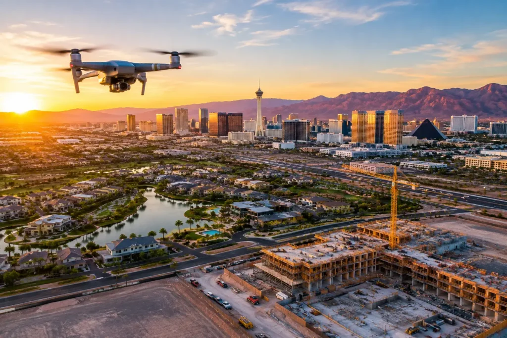
Imagine soaring above the vibrant neon of the Las Vegas Strip, capturing sweeping views of glittering resorts, or gliding across the striking, crimson cliffs of Red Rock Canyon. Thanks to rapid advancements in uncrewed aerial vehicle (UAV) technology, professional Las Vegas drone pilots are turning these cinematic aerial perspectives into reality.
In a city built on spectacle, high-impact visuals are essential. From blockbuster film productions to luxury real estate listings, aerial photography and videography have evolved from a luxury add-on into a core standard for visual storytelling.
Primary Industries Driven by Las Vegas Aerial Footage
Drone pilots in Southern Nevada serve a wide spectrum of commercial industries:
-
Film and Television Production: Drones offer flexible, cost-effective alternatives to traditional helicopter setups. They can weave between structures and capture dynamic tracking shots along the Strip or down desert highways.
-
Live Events and Entertainment: Capturing aerial footage of festivals, concerts, and stadium events provides event organizers with high-energy content for live broadcasts and promotional marketing.
-
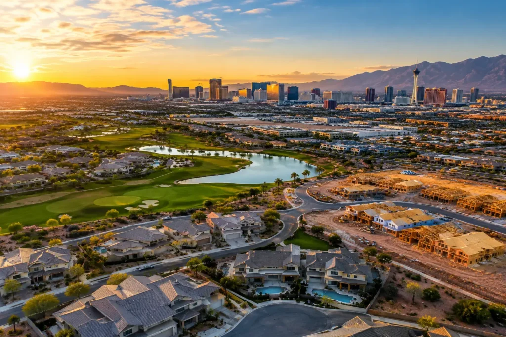
Luxury Real Estate: Aerial drone photography gives prospective home buyers a complete view of a property’s layout, outdoor living spaces, pool designs, and neighborhood surroundings—helping close sales faster.
-
Commercial Construction and Agriculture: High-resolution aerial imagery provides valuable data for site monitoring, land surveys, structural inspections, and mapping.
Key Qualifications and FAA Regulations in Las Vegas
Flying a drone commercially in Las Vegas requires strict adherence to federal and local aviation laws. Because the Las Vegas valley features busy airspace—including Harry Reid International Airport (LAS), Henderson Executive Airport (HND), North Las Vegas Airport (VGT), and Nellis Air Force Base—flight safety is paramount.
Commercial Licensing (FAA Part 107)
To legally offer drone services for business or commercial purposes in the United States, pilots must earn a Part 107 Remote Pilot Certificate from the Federal Aviation Administration (FAA). This certification verifies that the pilot understands airspace classifications, weather limitations, emergency procedures, and flight safety protocols.
Essential Flight Safety Rules
Professional drone operators adhere to key safety guidelines:
-
Airspace Clearances: Requesting real-time airspace authorization via LAANC (Low Altitude Authorization and Notification Capability) before flying in controlled airspace.
-
Altitude and Line of Sight: Maintaining visual line of sight (VLOS) with the aircraft and staying below the above-ground level unless specifically permitted.
-
No-Fly Zones: Avoid flying directly over unprotected crowds, moving vehicles, or restricted government and military zones without special FAA waivers.
Creative Techniques for Unforgettable Aerial Photography
Capturing stunning Las Vegas aerial views involves far more than simply raising a camera into the air. Top pilots combine technical mastery with cinematic techniques:
-
The Reveal Shot: Starting on a low foreground object before rising to reveal a grand landmark, such as the Bellagio Fountains or the High Roller observation wheel.
-
Tracking Shots: Smoothly following moving subjects, like luxury sports cars along scenic desert routes, to create high-energy cinematic motion.
-
Orbit and Waypoint Modes: Executing automated 360-degree rotations around high-rise towers or architectural features to showcase every angle.
-
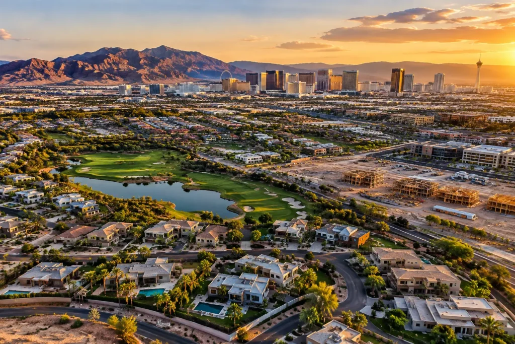
Lighting Optimization: Planning flights during the “Golden Hour” (sunset/sunrise) or late evening to capture the full luster of Las Vegas nightlife without overexposing sensor data.
FAQs: Flying Drones in Las Vegas
Do I need a license to operate a drone commercially in Las Vegas?
Yes. Anyone operating a drone for commercial purposes—including real estate listings, YouTube monetization, or event coverage—must hold an FAA Part 107 Remote Pilot License.
Are there restrictions on flying drones over the Las Vegas Strip?
Yes. The Las Vegas Strip lies directly under the controlled airspace of Harry Reid International Airport. Operating a drone near the Strip requires explicit LAANC authorization from the FAA, and many resort properties enforce private land-use policies restricting drone takeoffs and landings.
How can I hire a certified drone pilot in Las Vegas?
Look for pilots or production companies who can present a valid FAA Part 107 certificate, carry aviation liability insurance (typically with a minimum of $1M-$2M), and maintain a portfolio demonstrating previous aerial work in the area.