Drone Services That Make Las Vegas Properties Stand Out
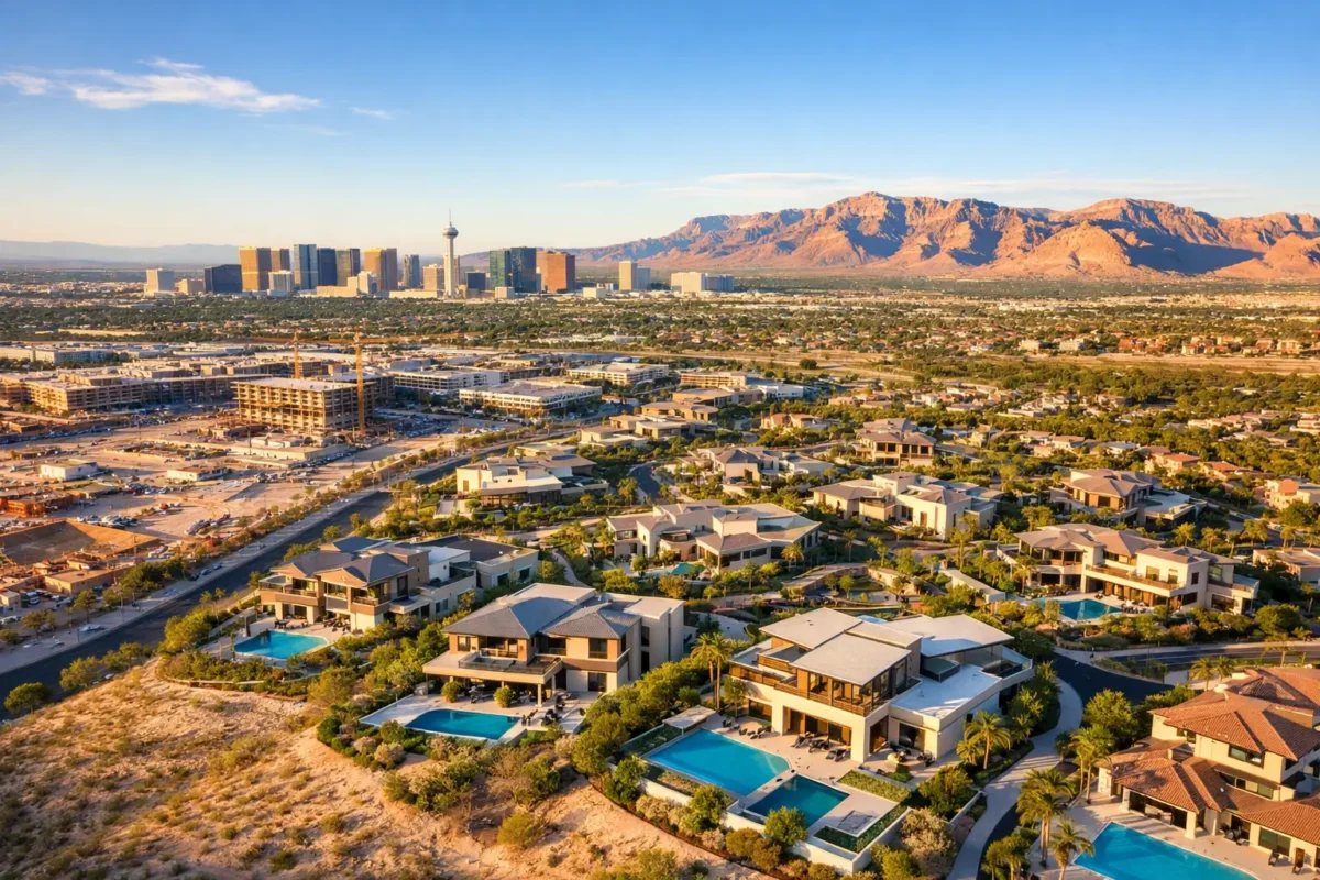
A listing can have beautiful interiors and still leave buyers asking the question that matters most: What is actually around this property? Professional drone services answer that question in seconds. Aerial stills and cinematic video show the lot, access roads, nearby amenities, mountain views, neighborhood layout, and scale that ground-level photography cannot fully communicate.
For Las Vegas property professionals, that perspective is not a novelty. It is a marketing and decision-making advantage. Whether the assignment involves a luxury residence, vacant land, a retail center, a construction project, or a large industrial site, the right aerial production helps people understand the asset before they schedule a visit, review a plan, or make an investment decision.
Drone Services Are Built for Property Context
A strong property presentation does more than document a building. It gives viewers a reason to care about its location, potential, and relationship to the surrounding market. Drone photography is especially effective because it can place a property in its real-world setting without relying on a map, a rendering, or a buyer’s imagination.
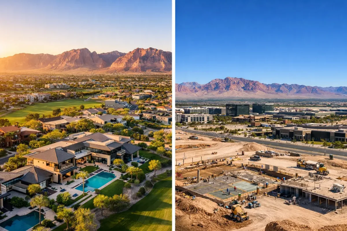
For a residential listing, an aerial image can reveal a backyard, a pool, a corner lot, golf course frontage, a gated entry, or an unobstructed view corridor. Video can move from a broad neighborhood perspective toward the home, creating a sense of arrival that still photography alone cannot provide. The result is a listing package that feels more complete and more considered.
Commercial properties benefit in a different way. Investors, tenants, brokers, and site selectors often need to see ingress and egress, surrounding traffic patterns, parking capacity, nearby retailers, freeway access, and the property’s position within a broader corridor. A carefully planned flyover can communicate these factors quickly while making the asset look polished and credible.
Land and development projects may have the most to gain. Aerial media can show acreage boundaries, topography, adjacent development, utility access points, road proximity, and major regional landmarks. It gives stakeholders a more practical view of what exists today while helping them visualize what could be built tomorrow.
The Best Aerial Media Starts Before Takeoff
The difference between casual drone footage and professional production is usually decided before the aircraft leaves the ground. A professional pilot evaluates the project goal, location, desired deliverables, weather conditions, sun direction, airspace requirements, and the specific angles needed to support the property story.
That planning matters in Southern Nevada. Las Vegas includes controlled and sensitive airspace, particularly near Harry Reid International Airport and Nellis Air Force Base. A flight that appears simple on a map may require airspace authorization, coordination, or a different approach based on the property’s exact location and the planned altitude.
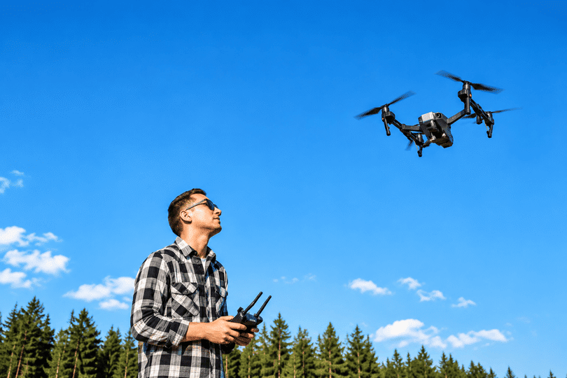
Hiring an FAA-certified drone pilot means the client does not have to interpret commercial flight rules, study airspace maps, maintain equipment, or accept the risks of an unplanned flight. The pilot handles the operational side while the client stays focused on selling, leasing, building, or presenting the property.
Insurance is part of that professional standard as well. Projects involving active construction sites, commercial facilities, high-value homes, or occupied properties deserve an operator with appropriate coverage. Sky View LV provides insurance coverage from $1 million to $10 million, giving clients an added layer of confidence when aerial work is taking place around people, structures, and active operations.
Aerial Photography, Video, and 360 Views Serve Different Jobs
Not every project needs the same deliverables. The right choice depends on how the media will be used and what the audience needs to understand.
High-resolution aerial photography is often the foundation of a real estate marketing package. It is ideal for MLS-ready listing images, offering memorandums, brochures, social media, websites, and investor presentations. A still image freezes the most valuable view at the best possible moment, whether that is a twilight exterior, a rooftop perspective, or a wide shot showing the property’s proximity to the Strip, mountains, or nearby amenities.
Cinematic drone video is better when movement adds meaning. A smooth approach toward a home, a reveal over a ridge, or a controlled pass along a commercial façade can create scale and energy. Video is particularly valuable for premium residential listings, hospitality properties, large commercial assets, master-planned developments, and projects with a compelling setting.
360-degree photo spheres provide another form of context. They allow viewers to look around from a selected location, making them useful for showing views from a parcel, rooftop, elevated amenity area, or development site. For remote investors and out-of-market buyers, this can make a property feel far more tangible than a conventional photo gallery.
The goal is not to order every format by default. A small home on a tight urban lot may need a concise set of aerial stills, while a large tract of land may benefit from photography, flyover video, and multiple 360-degree viewpoints. A free consultation helps identify the production that supports the actual business objective rather than adding media that will not be used.
Construction Teams Need More Than a Pretty Overview
Construction drone work is often mistaken for a marketing service, but it can also support better communication throughout a project. Regular aerial imagery gives owners, developers, contractors, and project managers a clear visual record of site progress from consistent viewpoints.
That record can help teams discuss sequencing, site access, material staging, roof work, exterior progress, and the relationship between completed and unfinished areas. It can be useful in internal updates, lender reporting, investor communications, and project archives. For stakeholders who cannot visit the site frequently, current aerial imagery provides immediate visual confirmation of changes.
Consistency is key. A one-time flight gives a useful snapshot. Scheduling flights around meaningful construction milestones creates a more valuable timeline. The frequency depends on the project’s pace, budget, and reporting needs. Weekly documentation may make sense for a fast-moving build, while monthly captures can be more practical for longer projects.
Aerial imagery does not replace on-site inspections, surveys, or safety procedures. It does, however, give the project team a broad, efficient perspective that is difficult and expensive to achieve from the ground.
What Clients Should Expect From Professional Drone Services
A reliable aerial production process should feel straightforward. It begins with a conversation about the property, the intended audience, required assets, desired turnaround time, and any site-specific concerns. From there, the flight team plans the shoot around the best light, operational constraints, and the assignment’s visual priorities.
On location, experienced pilots work deliberately. They consider on-site conditions, nearby structures, traffic, power lines, weather, and the property’s most marketable features. They also know when a flight should be rescheduled. High winds, poor visibility, or airspace limitations can affect both safety and image quality, and forcing a shoot rarely serves the client well.
After capture, professional editing turns raw material into ready-to-use deliverables. That includes selecting the strongest frames, correcting color and exposure, creating clean video sequences, and delivering files in formats suited to listing platforms, presentations, websites, or social media. Fast delivery matters, but so does work that reflects the property’s value.
The Cost of Doing It Internally Is Usually Higher Than It Looks
Buying a drone may appear less expensive than hiring a specialist, especially for teams with recurring needs. But the aircraft is only one part of the cost. Commercial operations require pilot training, FAA compliance, insurance, maintenance, batteries, software, flight planning, editing skills, and time away from core work.
There is also a quality consideration. Aerial media should not look like an afterthought beside professionally photographed interiors or a carefully designed investment package. Uneven movement, poor composition, overexposed skies, and questionable flight decisions can weaken the presentation rather than elevate it.
Outsourcing gives clients access to professional equipment, experienced flight judgment, polished post-production, and documented operational credentials without having to build an in-house aerial department. For most brokers, developers, and property managers, that is the more efficient path.
The next time a property needs to explain its views, access, scale, or development potential, start with the question a buyer or stakeholder will ask from their screen: “Help me see the whole picture.” A well-planned aerial capture gives them that answer before the conversation moves on.
Popular Posts
August 31, 2026
August 30, 2026
August 29, 2026
August 28, 2026
August 27, 2026
August 26, 2026
Comments are closed.