Drone Services Las Vegas for Property Marketing
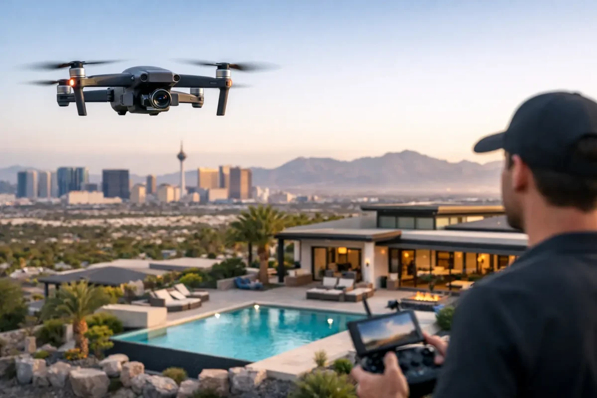
A Las Vegas property can have finishes worth seeing, acreage worth understanding, and views that change the entire value conversation. Yet a ground-level photo set cannot show how a home sits on a golf course, where a development connects to major roads, or how a commercial building relates to the surrounding market. “Las Vegas clients rely on our professional drone services to turn overlooked details into high-impact marketing assets.”
For real estate agents, developers, investors, and construction teams, aerial media is not an add-on for novelty’s sake. It is a practical way to give buyers, tenants, partners, and stakeholders the context they need to act with confidence. The right flight plan can show the property itself, the surrounding neighborhood, and the scale of the opportunity in a few carefully produced images or a concise cinematic video.
Why Drone Services Matter in Las Vegas Real Estate
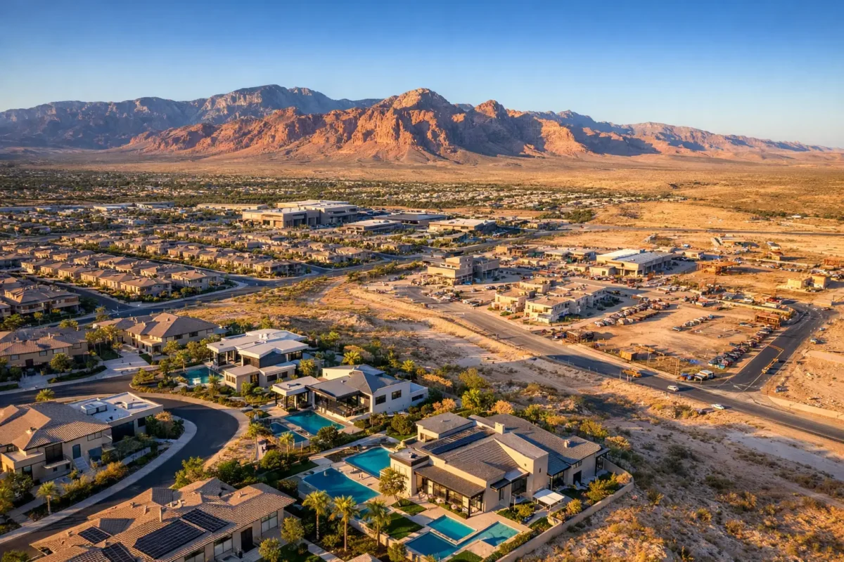
Las Vegas is a visual market with a large inventory of distinctive properties. A luxury residence may need to show Strip views, a pool setting, mountain backdrops, and proximity to nearby amenities. A land listing may need to communicate parcel shape, access roads, adjacent development, and utility corridors. For commercial properties, aerial imagery can establish visibility, parking, surrounding traffic patterns, and the relationship to key destinations.
Those are details that prospective buyers cannot always grasp from a map, a listing description, or standard exterior photographs. Aerial stills and video bridge the gap between location data and a buyer’s first impression. They help viewers understand the property more quickly, which can lead to more qualified interest and more productive conversations.
The strongest aerial work is selective. Not every listing needs a long video or a large collection of overhead shots. A compact home on a busy street may benefit most from a few polished elevation images that establish curb appeal and nearby access. A larger estate, multifamily community, industrial site, or new development may warrant a broader package that includes drone photography, video, and 360-degree photo spheres. The scope should reflect the property, the intended audience, and the business goal.
Aerial Media That Makes the Property Easier to Understand
Professional drone production starts with the question, “What must this audience see?” That question keeps the project focused on usable marketing and planning assets instead of random flight footage.
Aerial Photography for Listings and Campaigns
High-resolution drone photography gives a lot of breathing room. Elevated angles can capture a home’s lot boundaries, outdoor living areas, roofline, driveway access, and surrounding landscape in a single frame. For commercial assets, still photography can help present the building footprint, frontage, loading areas, parking capacity, and nearby anchors.
Aerial photos also work well beyond the MLS. They can support brochures, pitch decks, offering memorandums, social campaigns, signage, and project websites. When the composition is intentional, a single image can communicate location and scale more effectively than several conventional exterior photos.
Cinematic Video for Attention and Context
Drone video creates movement, but the business value lies in the context. A controlled approach toward a property, an elevated reveal of a view corridor, or a smooth pass across a development site can give an audience a sense of scale and setting that still images alone cannot convey.
Video is especially useful when the property’s surroundings are part of its appeal. This may include access to the Strip, mountain views, proximity to a golf course, retail corridors, recreation areas, or a growing development zone. The goal is not to make every project look like a movie trailer. The goal is to make a property more memorable and easier to evaluate.
Construction Imaging and Development Documentation
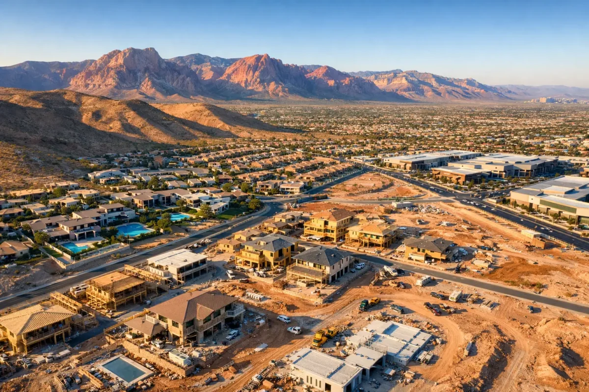
For construction teams and developers, aerial content has a different job. Regular site imagery can document progress, support stakeholder updates, compare work against planning milestones, and create a visual record of the project over time.
Aerial views can be valuable for large or difficult-to-access sites because they show relationships that are easy to miss from the ground. They can help communicate grading progress, structural development, staging areas, site circulation, and changes across a multi-phase project. They are not a replacement for surveying, engineering review, or site safety procedures, but they can be a highly effective communication tool alongside them.
Compliance Is Part of the Deliverable
Las Vegas has one of the most complex airspace environments in the region. Flights near Harry Reid International Airport, Nellis AFB, and other controlled or sensitive areas require more than a drone and a good camera. They require proper planning, FAA certification, airspace awareness, and, when required, authorization before the aircraft takes off.
This is where hiring a professional operator protects the project. An FAA-certified commercial pilot understands how to assess a proposed location, determine whether a flight is permissible, secure relevant authorization, and adjust the plan when restrictions or conditions affect the operation. Weather, temporary flight restrictions, nearby events, and the property’s exact location can all influence what is possible on a given day.
Insurance matters as well. Commercial property clients should expect a drone provider to carry appropriate coverage and to be prepared to meet project-specific requirements. Sky View LV provides fully insured aerial production, with coverage ranging from $1 million to $10 million, helping clients work with a vendor prepared for professional site and property environments.
Compliance can affect the creative plan, particularly near regulated airspace. That does not mean the project loses visual impact. It means the flight is designed around what can be done legally and safely. A capable operator can often identify useful angles, timing, and capture methods that serve the marketing objective while respecting the rules.
What a Professional Drone Project Looks Like
A low-friction process begins with a free consultation. The client shares the property address, the intended use of the media, key selling points, preferred deliverables, and any schedule requirements. From there, the pilot can evaluate the location, airspace, weather considerations, and the production approach that best fits the project.
Before the flight, the operator plans the shots rather than simply arriving and improvising. That may include identifying the hero angle for a listing, determining the best direction for morning or late-afternoon light, coordinating access to a construction site, and confirming any needed authorizations. Properties near controlled airspace may require additional lead time, so early planning is always wise.
During capture, a professional pilot balances visual quality with site awareness and safe operations. Afterward, selected imagery is edited for clean color, balanced exposure, and consistent presentation. The finished package should feel tailored to the property, whether it includes a small set of aerial stills, a polished video, recurring construction captures, or immersive 360-degree photo spheres.
When Aerial Production Delivers the Best Return
Drone media tends to deliver the greatest value when it answers a question that ground photography cannot. Where is the property in relation to the neighborhood? How large is the parcel? What does a buyer see from the backyard, rooftop, or upper floor? How does a commercial site connect to roads, retail, and nearby activity? What has changed on a construction site since the last update?
It is also valuable when the listing needs to stand apart in a crowded online environment. Buyers scroll quickly, and a generic visual presentation can make a strong property feel interchangeable. Aerial imagery gives the campaign a perspective that immediately signals scale, location, and professionalism.
Still, aerial media is most effective when used as part of a comprehensive visual strategy. Interior photography tells the story of finishes and livability. Ground-level exterior imagery captures approach and curb appeal. Drone photography adds a larger setting. Together, those assets create a more complete and persuasive presentation than any single format can deliver.
For landowners and investors, the return may be less about attracting broad consumer attention and more about making a complex opportunity easier to explain. A well-planned flyover can help an investor, tenant, or project partner understand the site before an in-person visit. That clarity can save time and focus discussions on the opportunity itself.
Choosing the Right Drone Partner
The lowest quote is not always the lowest-risk choice. Before hiring a provider, confirm that the pilot is FAA-certified for commercial operations, carries insurance appropriate to the assignment, understands local airspace, and can show experience producing content for real estate or commercial clients. Ask how they handle controlled-airspace locations, what deliverables are included, and how the shot plan connects to your goals.
You should also look for a partner who can clearly explain trade-offs. A requested angle may be limited by airspace, wind, site access, lighting, or safety conditions. Professional guidance is not a barrier to the project. It is how the final media remains both compelling and responsibly produced.
The best aerial capture does more than look impressive for a few seconds. It gives your audience a sharper view of the property, the setting, and the opportunity waiting below.
Popular Posts
September 01, 2026
August 31, 2026
August 30, 2026
August 29, 2026
August 28, 2026
August 27, 2026
Comments are closed.