Aerial imagery can make a property feel larger, more connected, and more valuable before a buyer or investor ever schedules a visit. But when the brief calls for an elevated perspective, the drone-versus-helicopter decision is not simply about which aircraft can fly higher. It affects budget, scheduling, safety planning, airspace approvals, visual style, and the usefulness of the final media.
For most residential, commercial, land, and construction projects, a professional drone operation delivers the angles that matter at a fraction of the cost and logistical burden of a helicopter. There are exceptions, especially for large-scale productions or expansive regional coverage. The right choice depends on what the imagery must accomplish.
What Property Marketing Actually Needs From the Air
Aerial media should answer questions that ground photography cannot. Where does the property sit within the neighborhood? How close is it to major roads, retail, recreation, or development? What does the lot layout look like? How is construction progressing across a site?
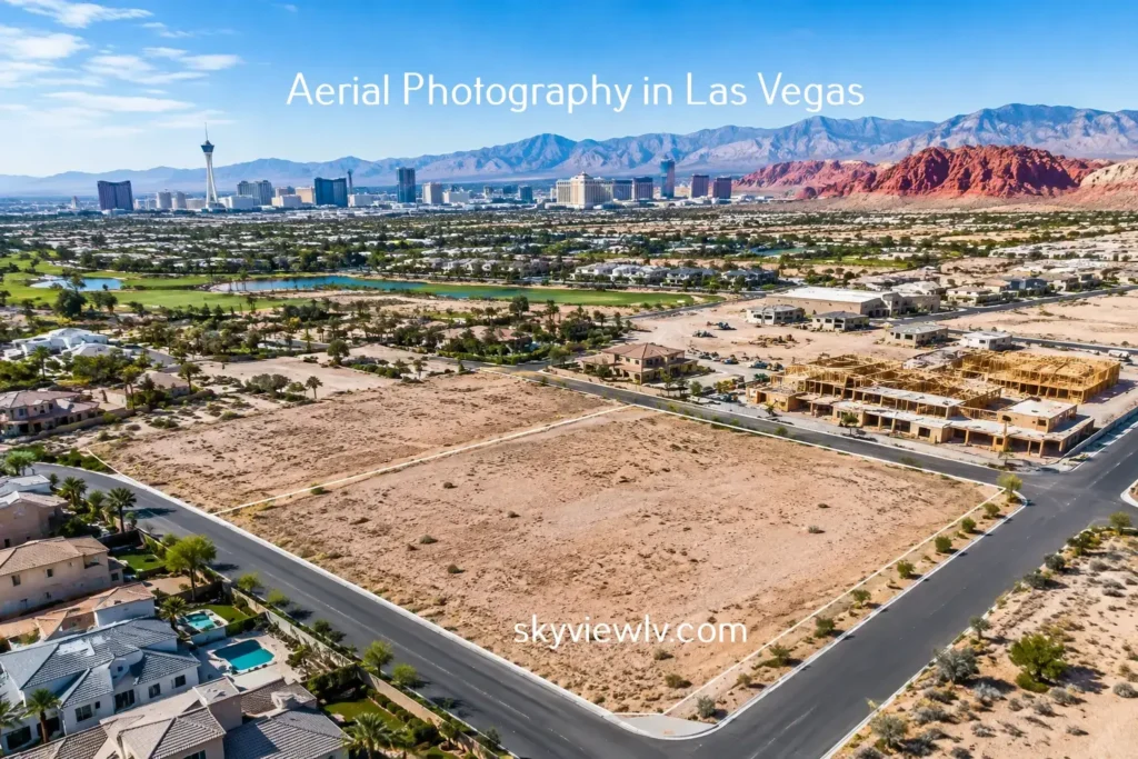
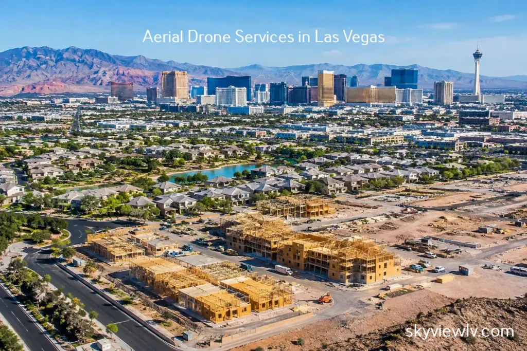
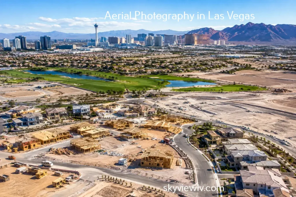
For a residential listing, the most persuasive shot may be a slow reveal of the backyard, followed by a clear view of the home in relation to the golf course, the Strip skyline, or the surrounding mountains. For a commercial property, it may be a high-resolution image that shows ingress, parking, visibility from a major corridor, and nearby anchors. For a developer, repeatable overhead captures can document site movement, staging, utility work, and project milestones.
These objectives require control. The aircraft needs to be in the right place, at the right height, in appropriate light, with a camera operator and pilot working to a specific visual plan. That is where drones have reshaped the aerial-media equation.
Drone Versus Helicopter: Cost and Logistics
Helicopters remain valuable aviation tools, but they bring substantial operating costs. Aircraft rental, fuel, crew, airport coordination, insurance requirements, weather holds, and repositioning all contribute to the final price. Even a short filming window can require a significant commitment because the aircraft, pilot, and support planning are scheduled around it.
A drone team can usually mobilize with far less overhead. The equipment is compact, setup is faster, and the flight plan can be designed around a specific property rather than a broad flight path. That efficiency makes professional aerial photography and cinematic video accessible for individual listings, leasing campaigns, land packages, and recurring construction documentation.
Lower cost does not mean casual execution. A commercial drone flight still requires mission planning, weather evaluation, site awareness, camera preparation, post-production, and compliance with FAA rules. The difference is that these requirements can be managed without the expense of chartering a manned aircraft.
For projects with a defined marketing budget, this often means more usable media. Instead of allocating most of the investment to flight time alone, clients can receive a fuller set of edited aerial stills, video sequences, vertical social clips, or 360-degree photo spheres designed for the channels where buyers and stakeholders actually engage.
Precision Near the Property
A helicopter is excellent at covering long distances and capturing sweeping views from a broad altitude range. It is less suited to the tight, controlled passes that make a property video feel intentional. Rotor wash, noise, aircraft positioning limits, and the need to maintain safe manned-aircraft operations can reduce flexibility near structures and outdoor features.
A drone can safely capture close-to-subject perspectives when conditions and regulations allow. It can rise from a landscaped entry, reveal the roofline, frame a pool and outdoor living area, or hold a precise composition over a development parcel. Those shots create context without turning the property into a distant point in a wide aerial frame.
This control is particularly valuable for real estate. Buyers do not only want a dramatic skyline view. They want to understand how the home, building, or site functions within its surroundings. A carefully planned drone flight can show that story in a way that feels immediate and easy to interpret.
Safety, Compliance, and Airspace Are Not Optional
The most important difference between a drone and helicopter operation is not the camera. It is the operating framework. Both types of aviation involve real safety responsibilities, and neither should be treated as a shortcut to impressive footage.
Commercial drone work requires a qualified pilot, a site-specific assessment, and adherence to FAA operating rules. In the Las Vegas Valley, airspace adds another layer of complexity. Properties near Harry Reid International Airport, Nellis AFB, or other controlled areas may require authorization, altitude restrictions, or an alternative flight plan. A desirable view does not override airspace restrictions.
A professional aerial imaging provider handles these details before the cameras come out. That includes confirming whether the mission can be conducted legally, identifying obstacles and nearby activity, reviewing weather conditions, and establishing a safe operating area. Fully insured, FAA-certified drone pilots help protect the client, the property, and the people on site while keeping the project on schedule.
Helicopter flights also require aviation coordination, but their scale and operational footprint can create more disruption. For occupied communities, active construction sites, resorts, and busy commercial properties, a quieter and more contained drone operation is often the practical choice.
Image Quality Is About the Shot Plan, Not Just the Aircraft
Some clients assume helicopter imagery automatically looks more premium because it comes from a larger aircraft. In reality, the quality of aerial media depends on the camera system, lighting, composition, stabilization, editing, and the operator’s understanding of the property.
Modern professional drones capture high-resolution photography and smooth cinematic video that meet the needs of listing platforms, brochures, investor decks, websites, social campaigns, and presentation screens. Their stabilization systems are built for controlled movement, which is useful when a video needs to feel polished rather than rushed.
A helicopter can still have an advantage when the assignment demands extremely wide geographic coverage, high-speed pursuit, or a unique high-altitude perspective over a large area. For example, a regional campaign showing multiple communities, a long corridor, or an event-scale production may justify manned aircraft support.
For a single luxury home, commercial building, development site, or land listing, however, the most valuable images are often captured from lower angles, closer in, and with greater precision. A drone is designed for that job.
When a Helicopter Still Makes Sense
The practical answer is not that drones replace helicopters in every situation. Helicopters may be the better fit when a production needs to cover dozens of miles quickly, follow fast-moving action, operate with specialized cinema equipment, or capture an unusually broad overview that cannot be achieved through a drone flight plan.
They can also be appropriate for large productions with budgets that support the added aircraft, crew, and coordination costs. In those cases, the helicopter is part of a wider production strategy, not merely a substitute for property photography.
For most property-focused assignments, the decision comes down to relevance. If the goal is to market a building, explain a parcel, show a neighborhood relationship, or document construction progress, a drone offers more targeted value. It gives the creative team time to refine individual angles instead of racing through a limited and expensive flight window.
Selecting the Right Aerial Partner
The best results come from more than owning a drone. Look for an aerial media provider who can discuss the property’s objectives before recommending shots. A strong partner asks whether the media is intended for a listing launch, investor outreach, entitlement support, construction reporting, leasing, or a long-term marketing library.
They should also be clear about compliance. FAA certification, liability insurance, airspace knowledge, and authorization experience are practical safeguards, particularly around regulated Las Vegas airspace. If a requested shot is not legal or safe, the right provider explains the constraint and proposes a useful alternative.
Sky View LV approaches aerial assignments with that balance of flight discipline and visual strategy. The goal is not simply to put a camera in the air. It is to deliver polished media that gives buyers, tenants, investors, and project teams a clearer reason to pay attention.
The strongest aerial asset is the one that makes a property easier to understand and harder to overlook. For most real estate and development projects, that means choosing a compliant, professionally planned drone flight built around the story the property needs to tell.