From Above: Exploring the Aerial View

From Above: Exploring the Power & Applications of the Aerial View
Introduction to the Aerial View
The aerial view offers a unique perspective that transforms how we see and understand our planet. By capturing high-resolution images from above using drone photography, aerial photography, and satellite imagery, we gain unprecedented insights into natural landscapes and built environments.
Beyond its visual appeal, the aerial perspective serves critical practical purposes. Industries ranging from urban planning and environmental monitoring to disaster management rely on spatial data gathered from the sky. In this guide, we explore the history, core benefits, and advanced technologies that drive modern aerial imaging.
The Importance & History of the Aerial Perspective
The Power of a Bird’s-Eye View
Taking to the skies allows us to observe the true scale of our surroundings. The aerial perspective is vital in fields such as cartography, spatial analysis, and environmental science, providing the data needed to manage natural resources and urban infrastructure effectively. Additionally, aerial videography provides compelling storytelling tools for media and marketing.
Historical Significance of Aerial Photography
Aerial imagery has long played a vital role in documenting human history:
-
Early Innovations: Early pioneers captured images using hot-air balloons, kites, and aircraft.
-
Historical Applications: Strategists and researchers used aerial photos to map archaeological sites, document wartime operations, and track historical urban growth.
-
Modern Evolution: Today, automated drones and high-altitude satellites have replaced manual aerial cameras, providing real-time geographical data.
4 Key Advantages of the Aerial View
                 Key Benefits of Aerial View
 ┌───────────────────────┬───────────────────────┐
 │ Enhanced Geographic   │ Efficient Urban       │
 │ Understanding         │ Planning              │
 ├───────────────────────┼───────────────────────┤
 │ Rapid Disaster        │ Non-Invasive Spatial  │
 │ Management            │ Data Collection       │
 └───────────────────────┴───────────────────────┘
1. Enhanced Understanding of Geographic Features
Viewing the Earth’s surface from above reveals spatial relationships, patterns, and distributions that are invisible from the ground. It enables scientists and land planners to visualize how human infrastructure (roads, bridges, buildings) interacts with natural terrain (rivers, forests, topographies).
2. Efficient Urban Planning and Development
Modern sustainable cities depend on accurate spatial mapping. Aerial views enable urban planners to:
-
Optimize land use and organize residential/commercial zones.
-
Reduce traffic congestion by analyzing transit flows.
-
Strategically place essential facilities like hospitals, schools, and green spaces.
3. Rapid Disaster Management and Emergency Response
In critical situations, aerial imaging provides immediate situational awareness:
-
Damage Assessment: Response teams can swiftly map disaster zones after earthquakes, floods, or wildfires.
-
Resource Deployment: Emergency services use real-time aerial footage to locate trapped individuals and safely route rescue teams.
4. Non-Invasive Data Collection
Whether evaluating delicate agricultural crops or assessing forest health, aerial imagery provides comprehensive terrain data without physically disturbing the ground.
Practical Applications of Aerial Photography
Mapping and Surveying
High-precision aerial surveys allow surveyors to construct accurate, highly detailed topological maps. These maps serve as the baseline for civil engineering, large-scale construction, and land boundary demarcation.
Environmental Monitoring
Environmental scientists leverage aerial data to track ecological health over time. Key monitoring applications include:
-
Tracking forest cover changes and deforestation rates.
-
Assessing crop health and soil moisture in agriculture.
-
Monitoring coastal erosion, water quality, and industrial pollution.
Archaeological Discoveries
Aerial archaeology uses remote sensing and aerial photography to uncover hidden historical ruins, ancient burial mounds, and buried structures that remain invisible at ground level.
SEO Tip / Internal Link Prompt: Link to your site’s dedicated guide on [Urban Planning Tools] or [Environmental Surveying Methods].
Leading Technologies in Aerial Imaging
Uncrewed Aerial Vehicles (UAVs)
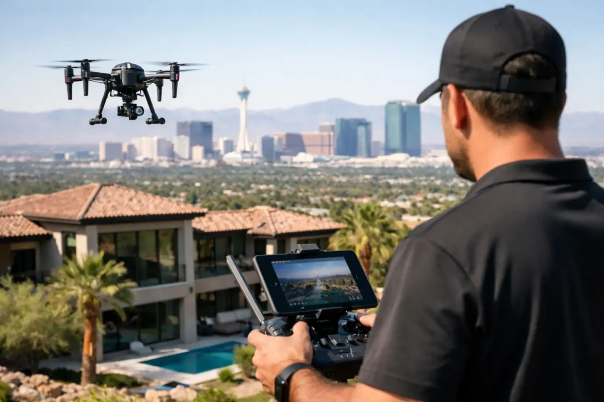
UAVs, commonly known as drones, have democratized access to aerial photography. Capable of flying at low altitudes with sophisticated camera payloads, drones deliver ultra-high-resolution imagery for industries such as agriculture, real estate, and construction.
Satellite Imagery
Satellites provide macro-level geographical data from orbit. By capturing continuous visual and multispectral data, satellite imagery allows researchers to track global climate trends, monitor wildlife migrations, and analyze large-scale land changes over decades.
LiDAR (Light Detection and Ranging)
LiDAR technology uses laser pulses to measure distances to the surface, generating ultra-dense 3D point clouds of the terrain. Because laser light can penetrate tree canopies, LiDAR is the gold standard for mapping ground topography underneath dense foliage.
Conclusion: The Future of Aerial Imaging
The power of the aerial view lies in its ability to reveal patterns, connections, and insights that remain hidden on the ground. As drone hardware, high-resolution satellite sensors, and AI-powered imagery analysis continue to advance, capturing and interpreting spatial data will become even faster, cheaper, and more precise.
Whether used to build smarter cities, preserve delicate ecosystems, or capture breathtaking visuals, aerial imaging will remain indispensable for exploring and managing our world.
Popular Posts

August 22, 2026
August 20, 2026
August 19, 2026

August 18, 2026
August 17, 2026

August 16, 2026
Comments are closed.