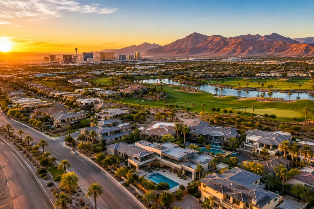
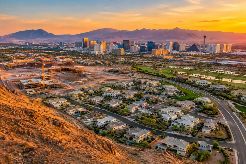
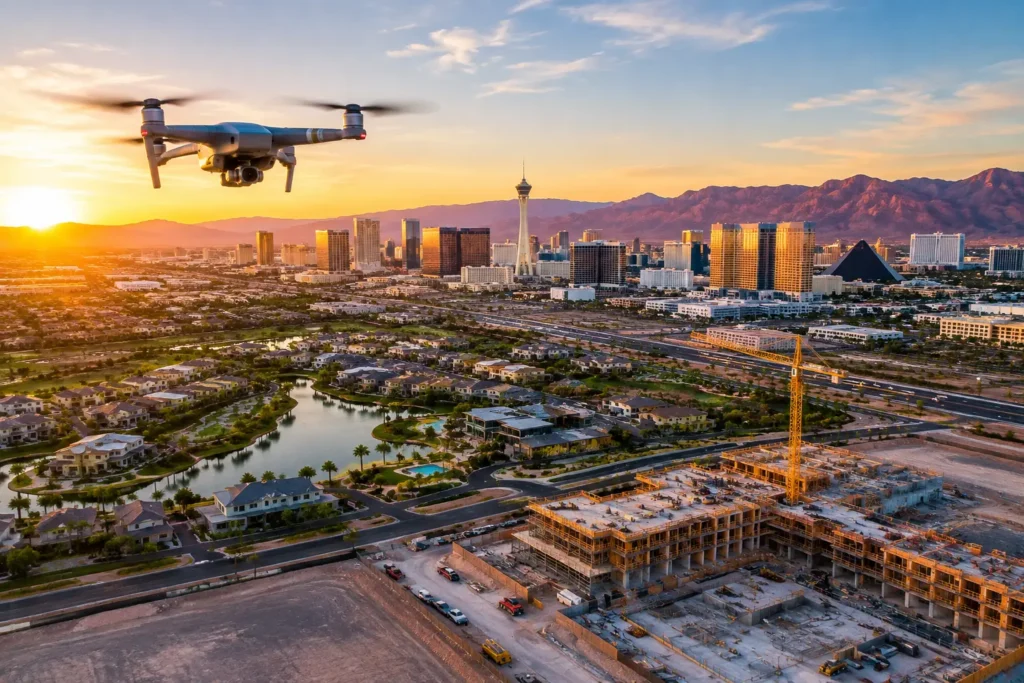
Aerial media can make a hillside home feel connected to the Strip, show the true scale of an industrial site, or give investors a clear view of a development’s access points and surrounding demand drivers. But Las Vegas drone photography companies are not interchangeable. The right partner combines polished visual production with the operational discipline required to fly legally, safely, and on schedule in one of the country’s more complex aviation environments.
For agents, developers, property managers, and construction teams, the question is not simply who owns a drone. It is who can turn a specific business objective into high-resolution stills, cinematic video, and aerial context that helps a property earn attention and support a decision.
What separates Las Vegas drone photography companies
Aerial photography is easy to underestimate when the finished image looks effortless. A strong overhead image of a luxury listing, retail center, vacant parcel, or active jobsite reflects much more than a camera in the air. It starts with a flight plan, the right timing, an understanding of the subject, and a pilot who knows what information the final audience needs to see.
For a residential listing, that may mean framing the home within its neighborhood, golf course frontage, mountain views, pool area, and nearby amenities. For commercial property, priorities may include ingress and egress, parking, traffic patterns, rooftop condition, adjacent tenants, visibility, or proximity to transportation corridors. For construction, repeatable vantage points can document progress and help project stakeholders understand site conditions without relying solely on a ground-level walk-through.
The strongest providers ask these questions before flight day. They do not arrive with a generic shot list and hope the property does the work for them.
Flight compliance is part of the deliverable
Las Vegas is not a market where airspace planning can be treated as an afterthought. Properties may sit near controlled airspace associated with Harry Reid International Airport, Nellis Air Force Base, or other restricted and sensitive areas. A location that appears straightforward on a map can require authorization, altitude restrictions, coordination, or a different production approach.
A commercial drone operator should hold FAA certification and understand how to evaluate the airspace before promising a flight. The provider should also be able to explain what is permitted at the site, what approvals may be needed, and how those requirements affect scheduling. If conditions prevent a planned flight, a professional team offers a clear next step rather than making unsafe assumptions.
This is especially valuable when a listing launch, investor presentation, inspection window, or construction milestone has a fixed date. Good planning protects both the production schedule and the client’s reputation.
Insurance should match the project’s risk
Commercial aerial work carries real liability considerations. A casual hobbyist may have a capable drone and a social media portfolio, but that does not mean they carry appropriate insurance for a client site. Ask whether the operator is fully insured, whether a certificate can be provided when required, and whether coverage limits can be increased for the project.
A standard residential shoot may have a different risk profile than that of a large commercial campus, an active construction zone, an occupied multifamily property, or a high-value development. Coverage in the $1 million to $10 million range gives clients more flexibility when project requirements demand it. The exact level depends on the property, ownership requirements, and site conditions, but the conversation should happen before the aircraft takes off.
Visual quality means more than dramatic altitude
Aerial imagery earns its value by providing perspective. The most useful image is not always the highest or widest shot. Sometimes it is a lower-angle frame that reveals architectural detail. Sometimes it is a carefully composed overhead image that defines lot boundaries, access roads, and acreage. In other cases, a smooth video sequence that connects the property to nearby amenities tells the story better than a single still image.
Look for a portfolio with purposeful composition, balanced exposure, stable movement, and clean editing. Las Vegas presents particular lighting challenges: intense sun, reflective surfaces, deep shadows, haze, and night illumination all require technical control. A skilled aerial team plans around light rather than accepting whatever the schedule delivers.
It is also worth asking what is included after the flight. Raw files can be useful for some internal teams, but polished, color-corrected assets are usually what marketing teams need to publish. Delivery should be organized, practical, and sized for the intended use, whether that is a listing platform, website, social campaign, presentation, digital ad, or investor package.
Match the aerial service to the property objective
The best production plan depends on what the audience must understand. Ordering aerial photography without defining the objective often results in attractive media that does not support the transaction.
For residential real estate, the goal is usually differentiation. Aerial stills and video can show lot size, privacy, outdoor living areas, neighborhood placement, and access to views or amenities. This is most effective when the property truly benefits from context. A compact condo may need a different approach than a custom home in Summerlin, a lakefront property in Henderson, or an equestrian estate with substantial land.
For land and development, aerial media helps prospects visualize scale and opportunity. Aerial stills can document parcel layout, surrounding development, road access, utilities visible from above, and nearby commercial activity. Video can create a stronger sense of approach and location. It cannot replace due diligence, surveys, or engineering analysis, but it can make a development story easier to understand quickly.
Commercial property teams often use drone media to communicate building scale, visibility, site circulation, loading areas, parking, rooflines, and neighboring anchors. An aerial flyover can be particularly effective for industrial, retail, office, hospitality, and multifamily assets where site context influences value.
Construction teams have a different need: dependable documentation. Scheduled aerial captures from consistent angles can provide a visual record of progress, support stakeholder updates, and identify changes that are difficult to see from the ground. The value here is repeatability and clarity, not a one-time cinematic highlight reel.
360-degree photo spheres can add another layer when an audience needs to orient itself within a property or location. They work well for sites with noteworthy views, expansive outdoor areas, and spatial relationships that standard stills do not fully convey.
Questions to ask before hiring a drone company
Before selecting a provider, establish whether they can handle both the creative and operational sides of the assignment. Three questions reveal a great deal: Are the pilots FAA-certified? Is the company fully insured at a level suitable for the site? Has the team reviewed the location’s airspace and identified any approval requirements?
Then move to the marketing outcome. Ask what shots they recommend for the property and why. A qualified operator should be able to describe a plan in plain language, including the likely flight timing, deliverables, editing scope, weather considerations, and expected turnaround time. If a company cannot explain how the images will help your buyer, tenant, investor, or project stakeholder, it may be selling footage rather than solving a communication problem.
Price deserves context as well. A low quote may exclude authorization work, travel, editing, insurance flexibility, or support for rescheduling. A higher quote is not automatically better, but it may reflect the planning and risk management needed for a complex location. Compare the complete scope, not just the number of minutes the drone will be airborne.
A better workflow produces better aerial assets
Professional production begins with a consultation. The client identifies the property, audience, deadline, and intended use. The aerial team reviews the address, evaluates airspace and site conditions, and develops a shot plan based on the desired outcome. This avoids a common mistake: capturing visually impressive footage that leaves out the property features that matter most.
On flight day, weather, lighting, wind, site activity, and safety conditions all influence the plan. Flexibility matters. Early morning or late afternoon can create more flattering light for a residential listing, while a construction documentation flight may need to happen during a specific phase of work. The right schedule depends on the asset and the purpose.
After capture, editing turns the flight into a usable marketing or project tool. Images are selected and refined. Video is structured for attention, with pacing that supports the viewer’s understanding rather than distracting from it. Clients should receive media that is ready to put to work.
Sky View LV brings this approach to aerial imaging with FAA-certified drone pilots, flexible insurance coverage, and experience working through the demands of Las Vegas-area airspace. The result is not just a higher viewpoint. It is an aerial media plan designed to support stronger marketing, clearer communication, and dependable execution.
When your property or project deserves more than a generic overhead shot, choose a team that can explain the flight plan, protect the site, and make every aerial capture carry a clear purpose.