Las Vegas Drone Photography That Sells Property
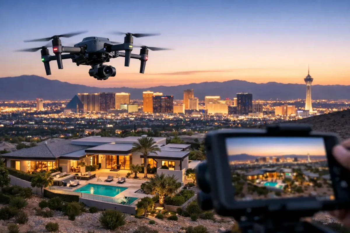
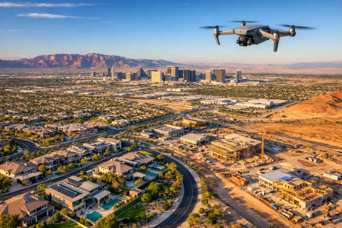
A property can have exceptional finishes, strong access, and real investment potential, then lose the buyer’s attention because its marketing never shows the full picture. Las Vegas drone photography changes that equation. It reveals a home’s lot, a development’s position, a commercial building’s access points, and the surrounding amenities that make a location valuable.
For Las Vegas real estate, commercial property, land, and construction projects, aerial imaging is not a novelty add-on. It is a practical way to show scale, context, and opportunity before a prospect schedules a call or site visit. When the market is crowded with familiar ground-level images, the right aerial perspective gives decision-makers a faster, clearer reason to look closer.
What Las Vegas Drone Photography Shows That Ground Photos Cannot
Ground photography remains essential. It captures interiors, finishes, street appeal, and the details that help a space feel real. But it cannot efficiently show how a property relates to the neighborhood, road network, nearby retail, parks, golf courses, mountain views, or major employment corridors.
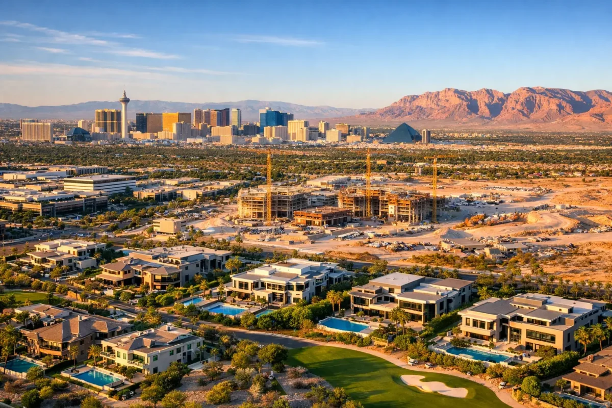
Aerial photography provides that wider frame. For a residential listing, it can establish the lot size and shape, the backyard layout, privacy from adjacent homes, and proximity to lifestyle amenities. For a luxury property, a cinematic overhead image can also convey the setting that supports its price point, from a golf-course edge to a hillside position to a panoramic Strip-facing view.
For commercial real estate, the value is often even more direct. Drone stills and video can show ingress and egress, parking capacity, loading areas, visibility from surrounding roads, nearby anchors, parcel boundaries, and the building’s relationship to neighboring uses. Investors and tenants do not only need to see a building. They need to understand how it functions in its market.
Landowners and developers benefit from a similar advantage. Aerial media makes it easier to present acreage, topography, adjacent development, utility corridors, road access, and the broader path of growth around a site. One well-planned aerial image can communicate information that would otherwise require several maps, site photos, and a lengthy explanation.
Why Better Aerial Media Creates Better Marketing
Online property marketing is decided quickly. A buyer scrolling through listings, a tenant reviewing options, or an investor scanning an offering package is looking for a reason to spend more time. High-resolution aerial images create that first moment of differentiation, but their real value is clarity.
A strong aerial sequence answers the questions a prospect is already asking: Where is this property? What surrounds it? How much land is included? Is there convenient access? What will the view, traffic flow, or construction setting look like? When those answers are visible, the marketing works harder before your team ever enters the conversation.
Video adds movement and orientation. A carefully flown commercial-property flyover can begin with the broader corridor, approach the site, identify entrances and key features, then pull back to place the asset in context. For a residential property, cinematic video can connect a rooftop deck, pool, outdoor living area, and surrounding views in a way still photography cannot fully replicate.
The goal is not to make every project look dramatic for its own sake. The goal is to create media that supports the transaction. A small infill parcel may need clear boundary and access imagery more than a sweeping cinematic edit. A resort-style home may benefit from both, especially when the outdoor environment is a central selling point.
Professional Flight Planning Matters in Las Vegas
Las Vegas is one of the most visually compelling places to fly, but it is also one of the most operationally complex. Controlled airspace around Harry Reid International Airport, restrictions associated with Nellis Air Force Base, changing airspace conditions, local site constraints, and active construction environments all require disciplined planning.
That is why commercial drone work should not be treated as a quick favor from someone who owns a drone. A professional operator evaluates the location, confirms airspace requirements, plans a safe flight path, reviews weather and lighting, and determines whether the requested shots are operationally appropriate. Depending on the site, authorization may be required before the aircraft takes off.
FAA-certified drone pilots understand the distinction between a visually appealing shot and a flight that can be completed legally and safely. Insurance coverage matters as well, particularly for active job sites, occupied communities, commercial facilities, and higher-value properties. Clients should expect clear documentation, responsible operations, and an operator who can address access requirements before production day.
This is also where hiring a specialist saves time. The client should not need to research regulations, maintain aircraft, monitor airspace, train a team, or troubleshoot editing software. Those responsibilities belong with the aerial production provider, not the broker, developer, property manager, or construction superintendent trying to keep a project moving.
Las Vegas Drone Photography for Each Stage of a Project
Aerial imagery has value well beyond the listing launch. The best approach depends on the property type and the decision the media needs to support.
Residential and luxury listings
For homes, aerial stills often work best when they are coordinated with a full listing photography plan. The drone images should show the property’s exterior composition, lot placement, outdoor amenities, and meaningful neighborhood context without overwhelming the interior story. Aerial video is especially useful when a listing has a view, significant acreage, architectural features, or an outdoor lifestyle that merits a more immersive presentation.
Commercial sales and leasing
Commercial assets need visual evidence of function and location. Aerial deliverables can highlight traffic routes, parking, loading access, signage visibility, nearby retailers, and connection to major roads. For brokers preparing investment materials, these visuals can make an offering easier to understand for out-of-market buyers who cannot visit immediately.
Development and land marketing
Raw land is difficult to market with standard photography alone. The camera may show desert, fencing, or a distant road, but not the site’s full scale or strategic position. Aerial photography can frame the parcel against planned growth, nearby infrastructure, and surrounding commercial or residential activity. Adding 360-degree photo spheres can give stakeholders another way to inspect a location remotely.
Construction documentation
Construction teams can use scheduled aerial imagery as a project-planning and communication tool. Consistent flights from planned viewpoints create a visual record of progress, site logistics, material staging, and major milestones. The frequency depends on the project. A fast-moving build may benefit from recurring updates, while another site may only need documentation at key phases.
How to Plan an Aerial Shoot That Delivers Useful Assets
The strongest aerial sessions begin before the pilot arrives. Share the property address, the purpose of the media, the intended audience, and any features that must be visible. For example, a broker may need a view corridor and nearby amenities highlighted, while a construction manager may need roof progress and site circulation documented.
Timing also affects the result. Early morning and late afternoon light can bring depth, color, and definition to a property, while midday may be more practical for a construction update or a straightforward commercial overview. Weather, wind, seasonal conditions, and on-site activity can influence the flight plan. Flexibility is useful, especially when visual quality is a priority.
It also helps to think about deliverables before production. Do you need high-resolution still images for an MLS listing and brochure? A short cinematic video for a property website and social channels? A commercial flyover for an investor presentation? Clear priorities allow the shoot to be designed around the way the media will actually be used.
Sky View LV approaches each project as a tailored production, matching aerial stills, video, commercial flyovers, construction imagery, and 360-degree photo spheres to the property’s specific marketing or planning need.
The Difference Between Attention and Credibility
Aerial imagery earns attention, but credible aerial imagery earns confidence. Overly edited skies, vague flyovers, or shots that look impressive without providing context can create a short-lived visual effect. High-quality production should be polished, accurate, intentional, and useful to the people evaluating the property.
That balance matters in Las Vegas. A Strip view may be a major selling asset, but the property’s exact relationship to that view should be represented honestly. A broad aerial view of a development site can communicate potential, but it should not imply improvements or access that do not exist. Professional aerial media supports persuasive marketing without blurring the facts.
Before your next listing, land campaign, commercial offering, or construction milestone, consider what your audience cannot understand from the ground. The right aerial perspective can turn that missing context into the image that moves the conversation forward.
Popular Posts

September 07, 2026
September 06, 2026
September 04, 2026
September 04, 2026
September 03, 2026
September 02, 2026
Comments are closed.