Professional Drone Services in Henderson, NV
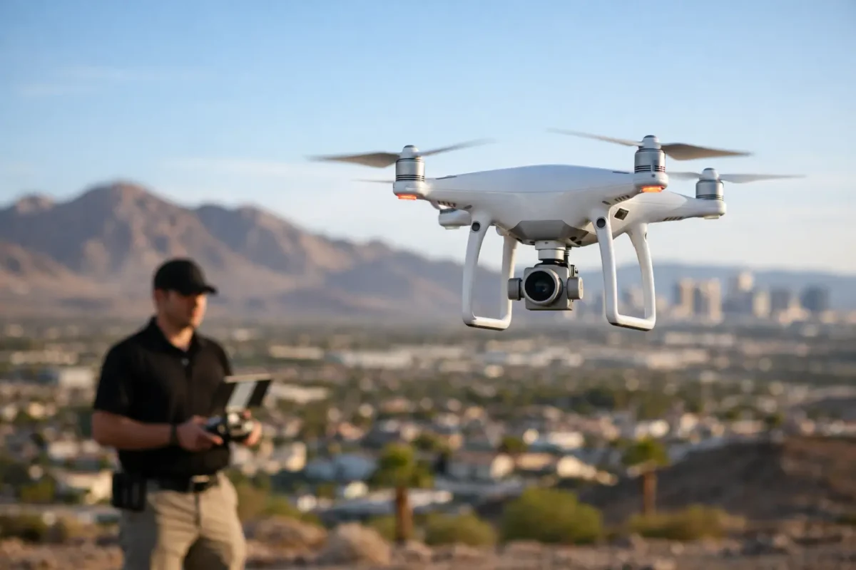
A Henderson listing can have a beautiful kitchen, an updated pool, and polished interior photography, yet still leave buyers asking the question that matters most: What does the property look like in context? Professional drone services in Henderson answer that question with high-resolution aerial stills and cinematic video that capture the home, lot, neighborhood, views, nearby amenities, and surrounding development in a single, clear visual story.
For agents, developers, landowners, and commercial property teams, aerial media is not an add-on for the final marketing package. It is a practical way to create attention, communicate scale, and give prospects a more complete understanding of an asset before they schedule a showing, request a site visit, or review an investment opportunity.
Why Henderson Properties Benefits From an Aerial View
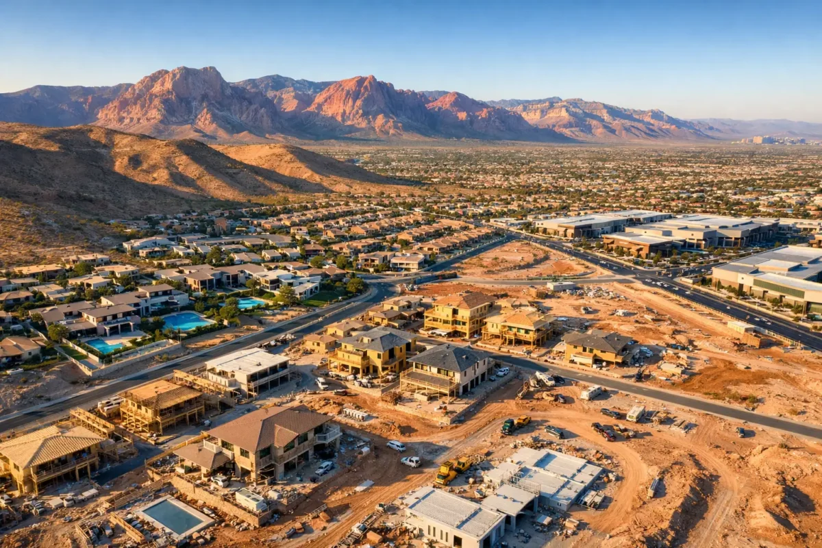
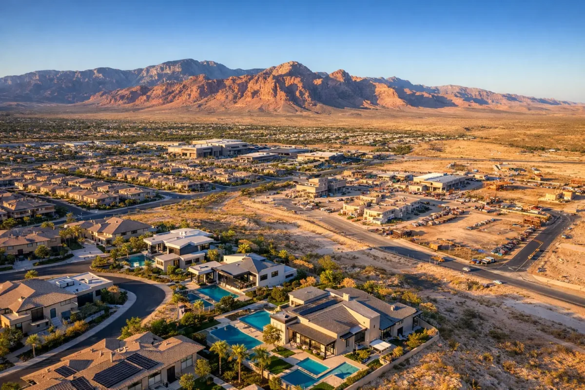
Henderson offers visual variety that ground photography cannot always explain. A luxury home in MacDonald Highlands may need to showcase its elevation, Strip views, proximity to the golf course, and outdoor living areas. A listing in Inspirada or Cadence may benefit from a wider view of parks, trails, community features, and neighborhood layout. Land near major corridors needs imagery that establishes access, parcel boundaries, adjacent uses, and the pace of nearby growth.
Aerial imaging turns those details into immediate visual evidence. Instead of describing a corner lot, an oversized parcel, a rooftop view, or a property’s relationship to a shopping center, a well-planned drone image lets the audience see it. That clarity can improve a listing’s first impression and help attract better-informed inquiries.
The same applies to commercial real estate. Aerial photography can show building footprints, parking capacity, ingress and egress, loading areas, roof condition, and proximity to highways or population centers from a safe visual distance. For an investor reviewing multiple opportunities, those details often matter as much as the building’s interior finishes.
Professional Drone Services in Henderson Are About More Than Flying
A drone is easy to buy. Producing dependable commercial aerial media is a different job. It requires flight planning, weather awareness, location assessment, camera operation, composition, editing, and a working knowledge of the regulations that govern commercial drone use.
The strongest aerial production starts before the aircraft leaves the ground. A professional pilot reviews the property goals, identifies the visuals that will move the project forward, checks airspace requirements, and plans a flight that supports the intended deliverables. The goal may be a shortlisting video, a set of vertical images for social media, a commercial property overview, construction documentation, or 360-degree photo spheres that place viewers at key points around a site.
This approach prevents a common problem with casual drone footage: plenty of movement, but no message. A dramatic orbit might look impressive, but it is only valuable when it reveals a home’s setting, a development’s scale, or a feature buyers and stakeholders need to understand.
FAA Compliance Matters in the Las Vegas Valley
Henderson projects can sit within or near controlled and sensitive airspace associated with Harry Reid International Airport, Nellis Air Force Base, and other aviation activity. That does not automatically make aerial work impossible. It means flight operations require careful planning and, where applicable, proper airspace authorization.
Hiring an FAA-certified commercial drone pilot shifts that responsibility away from the agent, owner, or project manager. A qualified operator understands that authorization depends on the precise location, altitude, timing, and operational conditions. They also know when a requested shot needs to be adjusted because safety or airspace rules take priority.
Insurance is another essential part of professional work. Commercial clients should know their aerial vendor carries coverage appropriate to the assignment. Sky View LV provides FAA-certified drone pilots and insurance coverage ranging from $1 million to $10 million, giving clients a capable production partner for projects that require both polished media and documented operational discipline.
The Right Aerial Deliverables Depend on the Property
Not every property needs the same flight plan. A condo listing may need a few carefully framed images that establish views, building placement, and nearby attractions. A luxury estate often benefits from a broader visual package, combining elevated stills, low-altitude exterior imagery, and a cinematic video sequence that moves from the surrounding landscape toward the home.
For vacant land, the emphasis changes. Buyers and investors typically need perspective on acreage, access points, adjacent development, utility corridors, terrain, and the site’s relationship to major roads. Aerial video can help make an undeveloped parcel easier to evaluate, while still images can support brochures, offering memorandums, presentations, and online marketing.
Commercial and industrial properties require their own visual priorities. The most useful imagery may highlight parking, truck access, surrounding tenants, freeway visibility, lot configuration, or a building’s relationship to an established business district. For property managers, updated aerial imagery can also support leasing materials and portfolio presentations.
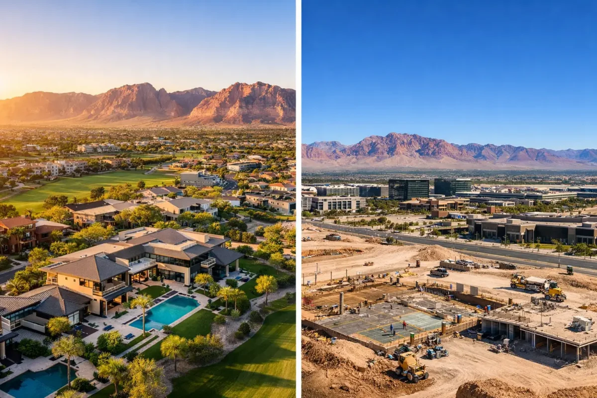
Construction teams often use drone services in different ways. Repeated aerial captures from consistent angles create a visual record of site progress, helping teams communicate with owners, investors, and off-site stakeholders. Aerial documentation is not a replacement for inspections or surveying, but it can make project status far easier to explain than a written update alone.
What a Well-Planned Drone Shoot Looks Like
A professional workflow should feel straightforward for the client. It begins with a conversation about the property, the target audience, and where the media will appear. A listing headed to the MLS and social platforms has different needs than a development presentation intended for investors or municipal stakeholders.
Next comes location and airspace planning. The pilot considers the property layout, desired flight paths, weather, sun angle, nearby obstacles, and applicable airspace restrictions. Morning and late-afternoon light often creates more dimensional exterior imagery, but the best time depends on the structure’s orientation, the views featured, seasonal conditions, and the project deadline.
On-site execution should be efficient and unobtrusive. The pilot captures a purposeful mix of angles rather than collecting random footage. After the flight, the selected stills and video are edited for clean color, balanced exposure, and a finished presentation that reflects the property or project’s quality.
Turnaround also matters. Real estate opportunities move quickly, and delayed assets can hold up a listing launch or marketing campaign. Discussing deliverables and timing before the shoot helps ensure the final package is built around the actual deadline, not an assumption.
Aerial Media Should Earn Its Place in the Budget
The value of drone photography is not measured only by the number of images delivered. It is measured by whether the media helps a property stand apart, creates confidence, and communicates information more effectively than standard ground-level visuals alone.
For a higher-value home, aerial content can reinforce a premium positioning by showing the complete lifestyle proposition: architecture, outdoor areas, views, privacy, and location. For land and commercial assets, it can reduce uncertainty by giving prospects a more useful view of the site before they engage. For construction teams, it can create a clearer record of progress and help align conversations across a project.
There are trade-offs. Aerial imaging cannot make a weak property stronger, and it should not replace strong interior, exterior, and twilight photography when needed. Poor weather, restricted airspace, high winds, or a location with limited safe launch options can affect the flight plan. A professional operator will set honest expectations and recommend the best available approach rather than promise footage that cannot be safely or legally captured.
Choose a Partner Who Understands the Assignment
When evaluating professional drone services in Henderson, look beyond a reel of dramatic shots. Ask whether the pilot is FAA certified, insured, experienced with commercial client needs, and prepared to manage the local airspace considerations that can affect Las Vegas Valley projects. Review whether the provider understands real estate marketing, commercial property communication, and the difference between visually interesting footage and media that serve a business objective.
The best aerial work makes the viewer feel oriented. They understand where the property sits, what surrounds it, how the site functions, and why it deserves attention. That is the standard worth bringing to a Henderson listing, development, land offering, or construction project.
A free consultation is a useful first step: bring the address, your deadline, and the decision you need the imagery to support. From there, the right flight plan can turn a property’s context into one of its strongest selling points.
Sky View LV is a professional aerial imaging drone service provider in Henderson, NV, specializing in FAA-certified drone services
Popular Posts
September 01, 2026
August 31, 2026
August 30, 2026
August 29, 2026
August 28, 2026
August 27, 2026
Comments are closed.