The Top Aerial Photography Company for Stunning Images
The Top Aerial Photography Company for Stunning Images. Aerial photography has become increasingly important in the modern world, offering unique perspectives and enhancing marketing and advertising efforts. It also plays a crucial role in urban planning and development. When selecting the right aerial photography company, consider their experience, expertise, the quality of their equipment, and their portfolio, which should include client testimonials. Aerial photography involves preparation and planning, executing the aerial shoot, and post-processing and editing. This versatile form of photography has applications in real estate and property marketing, construction and engineering, and environmental monitoring and conservation. The future of aerial photography looks promising, driven by advancements in drone technology, AI integration, and emerging trends and innovations.
Key Takeaways
- Aerial photography offers unique perspectives and enhances marketing and advertising efforts.
- Choose an aerial photography company with experience, expertise, quality equipment, and a strong portfolio.
- The process of aerial photography involves preparation, execution, and post-processing.
- Aerial photography applications include real estate marketing, construction and engineering, and environmental monitoring and assessment.
- The future of aerial photography is promising, driven by advances in drone technology and the integration of artificial intelligence.
The Importance of Aerial Photography in the Modern World

Capturing Unique Perspectives
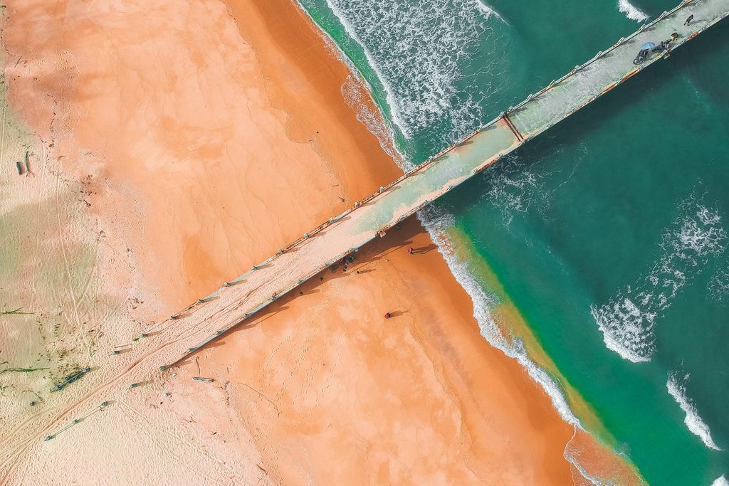
Capturing unique perspectives is one of the most exciting aspects of aerial photography. From high above, I can see the world from a completely different angle, revealing hidden details and patterns that are not visible from the ground. Whether it’s capturing the sprawling cityscape or the breathtaking natural landscape, aerial photography allows me to showcase the beauty of our surroundings in a truly captivating way.
Enhancing Marketing and Advertising
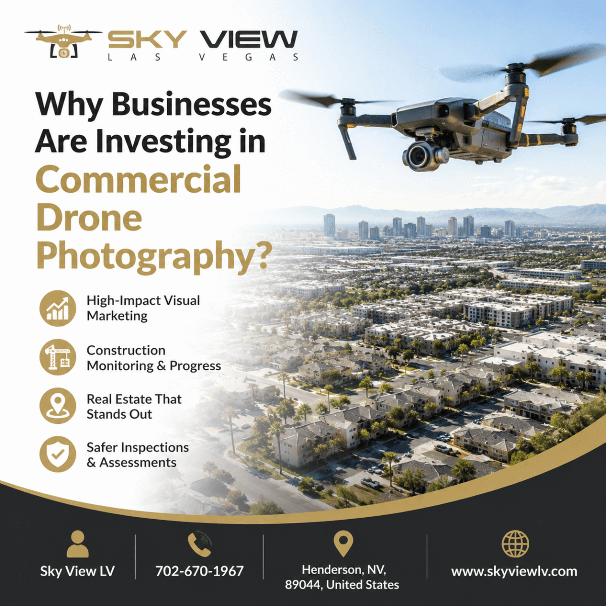
Enhancing marketing and advertising is a crucial aspect of aerial photography. With stunning aerial images, businesses can capture their target audience’s attention and create a lasting impression. Aerial photography offers a unique perspective, providing a more immersive and engaging experience. It can showcase the surrounding area, highlight key features, and emphasize the scale and grandeur of a property or location.
Aerial photography can capture attention and enhance brand visibility. By incorporating aerial images into marketing materials such as brochures, websites, and social media posts, businesses can differentiate themselves from competitors and leave a memorable impact on potential customers.
To effectively utilize aerial photography for marketing and advertising, businesses should consider the following:
- Identify key selling points: Determine the property’s unique aspects or location that can be highlighted through aerial photography.
- Tailor imagery to the target audience: Understand their preferences and interests to create visuals that resonate.
- Integrate aerial imagery across marketing channels: Use aerial photography consistently across channels to reinforce brand identity and messaging.
In conclusion, aerial photography plays a vital role in enhancing marketing and advertising efforts. Its ability to capture attention, showcase unique perspectives, and improve brand visibility makes it a valuable tool for businesses seeking to stand out in a competitive market.
Assisting in Urban Planning and Development
Urban planning plays a crucial role in creating sustainable, efficient, and inclusive communities that meet citizens’ needs. As an interdisciplinary field, urban and regional planning focuses on creating sustainable, efficient, and inclusive communities that meet citizens’ needs. It involves analyzing and understanding factors such as population growth, land use, transportation, and infrastructure to develop plans and policies that shape cities’ future.
In urban planning and development, it is essential to consider the following:
- Population growth: Understanding population trends and projections helps determine the demand for housing, transportation, and other essential services.
- Land use: Proper land allocation for residential, commercial, industrial, and recreational uses ensures efficient resource use.
- Transportation: Designing transportation systems that are accessible, sustainable, and promote connectivity within the city.
- Infrastructure: Developing and maintaining infrastructure, including roads, utilities, and public spaces, to support the community’s needs.
Urban planning is a dynamic process that requires collaboration between various stakeholders, including government agencies, urban planners, architects, and community members. By incorporating sustainable practices, promoting social equity, and considering the long-term impacts of development, urban planning can create vibrant, livable cities for future generations.
Choosing the Right Aerial Photography Company

Experience and Expertise
As an experienced aerial photographer, I have refined my skills to capture stunning images from unique vantage points. With years of experience in the field, I have developed a deep understanding of the technical aspects of aerial photography, including the use of advanced equipment and techniques.
Attention to detail is one of the key factors that sets me apart from others. I pay meticulous attention to every aspect of the aerial shoot, ensuring that every image meets the client’s expectations and is of the highest quality.
In addition to my technical expertise, I also have a keen eye for composition and aesthetics. I understand how to frame a shot to create visually appealing images that capture the essence of the subject.
When it comes to aerial photography, safety is always my top priority. I am well-versed in the regulations and guidelines set forth by aviation authorities, and I take all necessary precautions to ensure a safe and successful shoot.
To showcase my expertise, here is a summary of my qualifications:
| Qualification | Description |
|---|---|
| FAA Part 107 Certified | I have obtained the certification to operate drones commercially and adhere to all safety regulations. |
| Extensive Portfolio | I have worked with numerous clients and have a diverse portfolio that showcases my skills across various industries and settings. |
| Client Testimonials | My clients have consistently praised the quality of my work and my professionalism. |
With my experience and expertise, I am confident I can deliver stunning aerial images that exceed your expectations.
Quality of Equipment
I take great pride in specializing in drone photography and utilizing only the highest-quality equipment available. With my DJI Mavic 3 Cine, Mavic 2 Pro, Sony A7S III, and A7R II, I can guarantee that you will be impressed by the photos and videos I capture for your business. I am FAA Part 107 Certified and fully insured, ensuring I operate in compliance with legal requirements and prioritize safety. Additionally, I have years of experience in the field and offer 24/7 support to my clients. Let me help you take your business to the next level with the best drone and aerial photography.
Portfolio and Client Testimonials
After reviewing the company’s portfolio and reading client testimonials, I am confident they can deliver exceptional aerial photography services. The portfolio showcases a range of projects, including real estate, construction, and environmental monitoring. Each photograph captures a unique perspective, highlighting the subject’s beauty and intricacies. Client testimonials underline the company’s professionalism, attention to detail, and ability to exceed expectations. The company has a strong track record of delivering high-quality aerial images that meet client expectations.
The Process of Aerial Photography

Preparation and Planning
Preparation and planning are crucial steps in ensuring a successful aerial photography shoot. Before taking to the skies, it is essential to thoroughly research the location and understand the project’s specific requirements. This includes identifying potential obstacles or hazards that may affect the shoot and obtaining necessary permits or permissions. Additionally, it is essential to carefully plan the flight path and determine the optimal time of day for capturing the desired images. By planning and preparing appropriately, we can ensure every aerial shoot is executed with precision and efficiency.
Executing the Aerial Shoot
During the aerial shoot, I take to the skies with my drone, capturing breathtaking images from unique angles. With the ability to maneuver the drone in any direction, I can capture stunning shots of cityscapes, landscapes, and other scenic views. Precision is critical during this phase as I carefully navigate the drone to capture the perfect shot.
Once in the air, I use my drone’s advanced features to enhance the footage’s cinematic quality. Techniques such as rotating the drone left or right can add a dynamic element to establishing shots, creating a more cinematic experience for the viewer.
I monitor lighting conditions to ensure high-quality images and adjust accordingly. By capturing images during the golden hour or utilizing artificial lighting, I can create visually stunning photographs that capture the essence of the subject.
During the aerial shoot, I also consider the shot’s composition. By framing the subject aesthetically pleasingly and evaluating the rule of thirds, I can create visually striking images that draw the viewer’s eye.
I can capture images and record high-quality video footage. By using the drone’s stabilization features, I can capture smooth, steady footage even in challenging conditions.
Overall, the execution of the aerial shoot is a thrilling and creative process. It allows me to showcase the world from a unique perspective and capture stunning images that leave a lasting impression.
Post-Processing and Editing
After the aerial shoot is complete, the next step is post-processing and editing. This is where the magic happens: raw aerial images are transformed into stunning final photographs. During post-processing, I carefully adjust the colors, contrast, and exposure to bring out the best in each image. I also remove imperfections and distractions to ensure a clean, polished result. Attention to detail is critical at this stage, as it enables me to create images that truly capture the subject’s beauty and essence.
In addition to basic adjustments, I employ advanced editing techniques to refine the overall composition and establish a distinctive visual style. These include HDR blending, panorama stitching, and creative filters. By combining these techniques with my artistic vision, I can create visually striking images that evoke awe and wonder.
I use professional editing software, including Adobe Lightroom and Photoshop, to ensure the highest-quality output. These tools give me the flexibility and control to achieve the desired results. I also stay up to date with the latest editing trends and techniques, continually honing my skills to deliver the best possible images to my clients.
In summary, post-processing and editing are crucial steps in aerial photography. During this stage, the raw images are transformed into stunning, final photographs that showcase the beauty and uniqueness of each subject. Through careful adjustments and advanced editing techniques, I can create images that leave a lasting impression on viewers.
Applications of Aerial Photography

Real Estate and Property Marketing
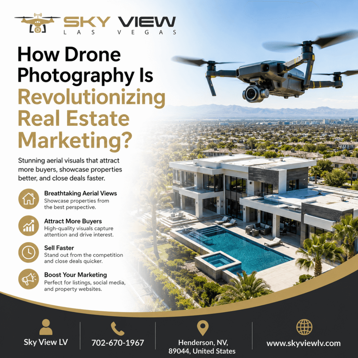
In real estate marketing, aerial photography is crucial in capturing stunning images that uniquely and captivatingly showcase properties. Using drones, we can offer new perspectives that highlight each property’s unique features and beauty. Aerial photography enhances the visual appeal of real estate listings and provides several advantages to sellers and buyers. Drone services in real estate marketing are highly effective, driving faster sales, competitive advantages, and easier marketing processes. It allows potential buyers to gain a comprehensive view of the property, including its surroundings and neighborhood, which can significantly influence their decision-making.
Construction and Engineering
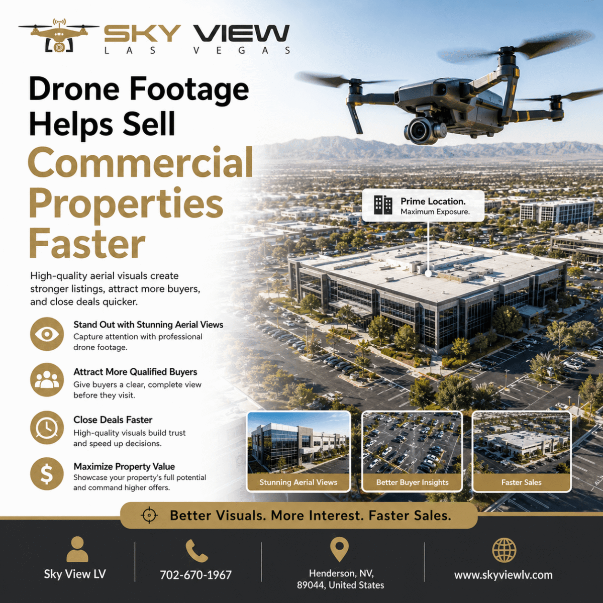
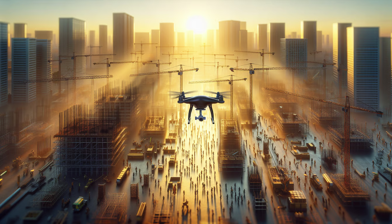
In construction and engineering, aerial photography plays a crucial role in collecting visual data, conducting aerial surveys, and capturing cinematic videos. Sky View LV offers professional drone services for construction project managers and real estate agents. With their expertise and state-of-the-art equipment, they can capture stunning aerial images and videos that showcase the progress and scale of construction projects. These aerial visuals provide a unique perspective, facilitating the monitoring and documentation of the construction process. Whether assessing site conditions, conducting inspections, or creating marketing materials, aerial photography is invaluable in the construction and engineering industry.
Environmental Monitoring and Conservation
Environmental monitoring and conservation are crucial aspects of aerial photography. Capturing high-resolution images from above, aerial photography provides valuable data for monitoring and assessing the health of ecosystems and natural resources. Drones equipped with specialized sensors can collect data on air quality, water quality, and vegetation health, helping researchers and conservationists make informed decisions about protecting the environment.
In addition to monitoring, aerial photography supports conservation efforts. By capturing stunning images of natural landscapes and wildlife habitats, aerial photographers can raise awareness about the importance of preserving these areas. These images can be used in educational materials, documentaries, and social media campaigns to inspire people to take action and support conservation initiatives.
To effectively use aerial photography for environmental monitoring and conservation, it is essential to collaborate with experienced aerial photography companies that have the expertise and equipment to capture high-quality images. These companies should have a portfolio showcasing their previous work in environmental projects, along with positive client testimonials.
In summary, aerial photography is a robust tool for environmental monitoring and conservation. It provides valuable data to assess ecosystem health and raises awareness of the importance of preserving natural landscapes and wildlife habitats.
The Future of Aerial Photography

Advancements in Drone Technology
Advances in drone technology have revolutionized aerial photography. With the development of more advanced and sophisticated drones, photographers can now access unique perspectives and angles that were previously impossible to capture. These drones feature high-quality cameras and advanced stabilization systems, enabling the capture of stunning, professional-grade images. Additionally, the miniaturization of instrumentation has further enhanced drones’ capabilities, making them more versatile and efficient at capturing aerial shots.
Integration with Artificial Intelligence
Integrating Artificial Intelligence (AI) with aerial photography has revolutionized the industry. AI algorithms can analyze large amounts of aerial imagery data and extract valuable insights. These insights can be applied across fields such as environmental conservation, urban planning, and disaster response. By leveraging AI, aerial photography companies can deliver more accurate, efficient client services.
Emerging Trends and Innovations
As an aerial photography company, we closely monitor emerging industry trends and innovations. One of the most exciting developments is the integration of Artificial Intelligence (AI) in aerial photography. AI algorithms can now analyze aerial imagery and extract valuable insights, including object identification, change detection over time, and trend prediction.
In addition to AI, another emerging trend is the use of LiDAR technology in aerial photography. LiDAR, which stands for Light Detection and Ranging, uses laser pulses to measure distances and create highly accurate 3D terrain models. This technology benefits applications such as urban planning, environmental monitoring, and infrastructure development.
We invest in the latest equipment and training to keep our team ahead of these trends. We are excited to explore the potential of these emerging technologies for aerial photography.
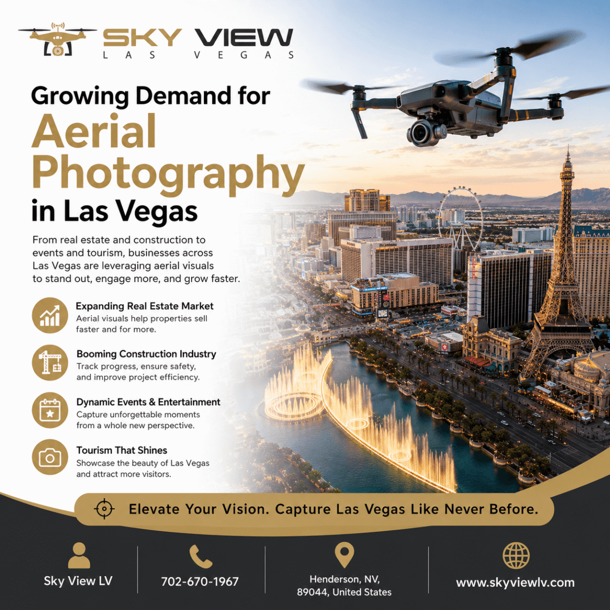
The future of aerial photography is changing how we capture stunning images and videos. With advances in drone technology, Las Vegas photographers and videographers can access the best drone services to meet their needs. Whether you want to capture breathtaking landscapes, real estate properties, or special events, our experienced drone pilots can deliver high-quality aerial footage that elevates your projects. Don’t miss the chance to elevate your photography and videography with the latest drone services in Las Vegas. Visit our website, Best Drone Services For Photography and Videography in Las Vegas, to learn more and book your next aerial shoot.
Conclusion
In conclusion, several top companies stand out regarding aerial photography. Skye Cam Studios in Maryland offers cost-effective aerial photography and cinematography for a range of industries and events. Top Shot Aerial Photography in Indiana is recognized for its state-of-the-art technology and ability to meet any aerial photography or video needs. Hover Shotz in England specializes in aerial filming, photography, and surveying using the latest drone technology. These companies and others mentioned in the article provide stunning images and capture unique aerial perspectives.
Frequently Asked Questions
What is aerial photography?
Aerial photography involves capturing images from an elevated position using drones or other aerial devices.
Why is aerial photography important?
Aerial photography offers unique perspectives, enhances marketing and advertising efforts, and supports urban planning and development.
How can aerial photography benefit real estate marketing?
Aerial photography can showcase the entire property and its surroundings, providing a comprehensive view for potential buyers.
What equipment is used for aerial photography?
Aerial photography is typically conducted using drones equipped with high-resolution cameras and advanced stabilization technology.
Is aerial photography legal?
Yes, aerial photography is legal as long as it complies with local regulations and guidelines set by aviation authorities.
What is the process of aerial photography?
The aerial photography process involves preparing and planning, executing the aerial shoot, and post-processing and editing the captured images.
Popular Posts
May 11, 2026
May 07, 2026
April 03, 2026
February 11, 2026
Comments are closed.