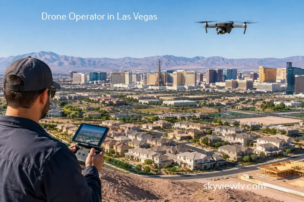
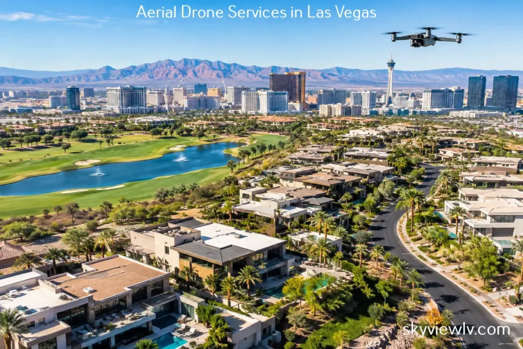
A Las Vegas sky view can answer the questions that a ground-level photo cannot: How does the property sit on the lot? What is nearby? Where does the access road lead? How close are the Strip, trail systems, schools, retail, or major transportation corridors? For real estate professionals, developers, and property owners, those answers are not decorative details. They are part of the value proposition.
In a market where buyers scroll quickly and investors compare opportunities from a distance, aerial imagery provides the right context for a property. It turns a collection of rooms, boundaries, and site plans into a clear visual story. The result can be a stronger listing presentation, better-informed conversations, and an asset that earns attention before a prospect ever schedules a visit.
Why a Las Vegas Sky View Changes the Conversation
Las Vegas is a market built on location, access, and visual distinction. A luxury home in Henderson may have a dramatic view corridor, a golf-course relationship, or a backyard layout that ground photography cannot fully explain. A commercial building may benefit from a clear assessment of parking capacity, signage visibility, nearby anchors, and highway access. For vacant land, an aerial perspective may be the most effective way to show usable acreage, parcel shape, proximity to utilities, and surrounding development.
Conventional photography still matters. Interior images sell finishes, natural light, floor plans, and lifestyle. But they can leave buyers mentally assembling the larger picture. Aerial stills and cinematic video reduce that gap by showing the property in relation to its surroundings.
This is especially valuable when the feature being sold is not contained within four walls. Views, lot size, proximity to amenities, development momentum, access points, and neighborhood character all benefit from an elevated perspective.
Aerial Media Should Serve a Clear Business Purpose
The best drone content is not simply a collection of dramatic overhead shots. It is planned around the decision a buyer, tenant, investor, or stakeholder needs to make. Before a flight, it helps to identify what the visuals must communicate.
For a residential listing, that may mean establishing the home within its community, showing a corner lot, following a driveway approach, or framing mountain and city views. For a commercial property, the priority may be ingress and egress, parking, surrounding retail, traffic routes, or building scale. A construction team may need repeatable vantage points that document progress, verify site conditions, and help communicate milestones to owners and investors.
The trade-off is simple: a highly cinematic video can create emotion, while a methodical site overview can create clarity. Many projects need both. A short, polished video can attract initial interest, while high-resolution aerial stills provide the practical evidence needed for marketing packages, presentations, proposals, and due diligence conversations.
Residential listings: Show the setting, not just the structure
For homes, a drone can establish the relationship between the property and the neighborhood in seconds. That is particularly useful for estate properties, homes with pools, properties near golf courses, and listings where the outdoor experience carries significant value.
Aerial imagery should remain accurate and proportionate. The goal is to highlight genuine advantages, not create a misleading impression of distance, lot size, or views. Thoughtful flight paths and well-chosen angles make a home feel aspirational while keeping the representation credible.
Commercial, land, and development: Make scale understandable
Commercial prospects and investors often need context before they need beauty. Aerial assets can help them see building footprint, parcel boundaries, adjacent uses, access roads, surrounding rooftops, and the broader trade area. For land, a vertical overhead image may be essential, but an oblique angle can better communicate terrain, visibility, and neighboring development.
For proposed developments, drone imagery can also serve as a useful foundation for planning discussions and future visual concepts. It gives teams a current, accurate view of the site before they begin explaining what the property could become.
Construction documentation: Create a visual record with purpose
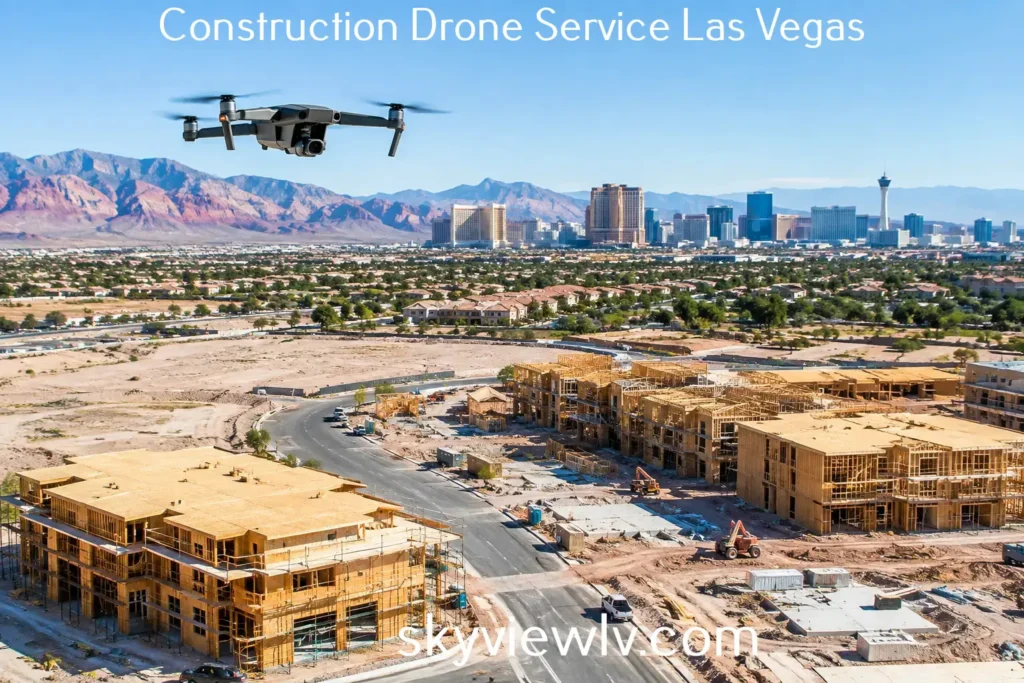
Construction imagery is most valuable when it is consistent. Capturing the same key angles over time helps project teams demonstrate progress, communicate site changes, and maintain a clear visual record for stakeholders who are not on site every week.
A one-time flight can support a major milestone. Recurring flights, however, can reveal the pace and sequence of a project in a way that isolated ground photos often cannot. The appropriate schedule depends on the project stage, reporting needs, and construction activity. A fast-moving commercial build may warrant frequent documentation, whereas a smaller development may only require milestone-based captures.
Compliance Is Part of the Deliverable
In Las Vegas, drone operations require more than a camera and a clear morning. The region includes controlled and sensitive airspace associated with Harry Reid International Airport, Nellis Air Force Base, and other aviation activity. Flight planning must account for airspace requirements, location-specific limitations, weather, site conditions, and the people and structures on the ground.
That is why a professional aerial partner should bring more than creative instincts. FAA-certified drone pilots understand the operational responsibilities behind commercial flight. Proper authorization, preflight planning, safety procedures, and insurance coverage protect both the client and the flight crew.
Not every location has the same requirements. A project in an open area outside the urban core may have a straightforward path to operation. A property near controlled airspace may require additional coordination or be subject to limitations affecting timing, altitude, or the types of shots available. A qualified operator will set realistic expectations early rather than promising imagery that cannot be captured safely and legally.
Sky View LV combines FAA-certified flight operations with professional aerial production, including insured coverage tailored to project requirements. That means clients can focus on the listing, development, or project objective while a specialist handles the flight planning and production details.
What a Strong Aerial Production Process Looks Like
Professional drone production begins before the aircraft leaves the ground. A brief consultation should establish the property address, intended use, priority features, desired deliverables, timeline, and any special site considerations. This is where a client can explain whether the media is intended for an MLS listing, investor presentation, leasing campaign, construction report, social media campaign, or website.
Next comes flight planning. The pilot evaluates operational feasibility, airspace conditions, weather, lighting direction, and site safety. Time of day matters more than many clients expect. Early morning and late afternoon can add dimension and warmer color, while midday may be useful when the primary goal is a clean, highly legible view of a site or parcel.
On location, the production team captures the planned perspectives while adapting to actual conditions. Wind, on-site activity, shadows, and changing light may influence the final shot list. A reliable operator knows when to preserve the plan and when to adjust the approach to protect quality and safety.
Post-production is where raw footage becomes a usable marketing asset. Images are selected and refined for clarity, color, and composition. The video is edited into a deliberate sequence that first provides viewers with orientation and then emphasizes the property’s most compelling features. The finished deliverables should fit the client’s real use case, whether that means crisp still photography, a short promotional film, 360-degree photo spheres, or recurring documentation imagery.
How to Get More Value From Your Aerial Assets
Aerial media performs best when distributed intentionally. Use a hero aerial image where it can immediately establish location and scale. Pair overhead views with ground-level photos so prospects can move naturally from the big picture to the details. In video, lead with the strongest contextual shot rather than making viewers wait through a long logo sequence.
For land and commercial projects, keep a version of key aerial imagery available for future use. The same property may need materials for a sales package, an investor deck, a leasing effort, a zoning conversation, or a construction update. Capturing quality visuals once can reduce the need to rebuild the story from scratch later.
It is also wise to request media that matches the platforms where it will appear. Vertical clips may be appropriate for social channels, while horizontal video is better suited to property websites, presentations, and broader marketing campaigns. High-resolution stills allow greater flexibility for printing, cropping variations, and large-format presentations.
A compelling aerial perspective does more than make a property look impressive. It helps the right audience understand what they are seeing, why the location matters, and what deserves a closer look. When every flight is planned around that purpose, a view of the Las Vegas sky becomes a practical advantage long after the first impression.