Behind the Scenes of Our Drone Operations
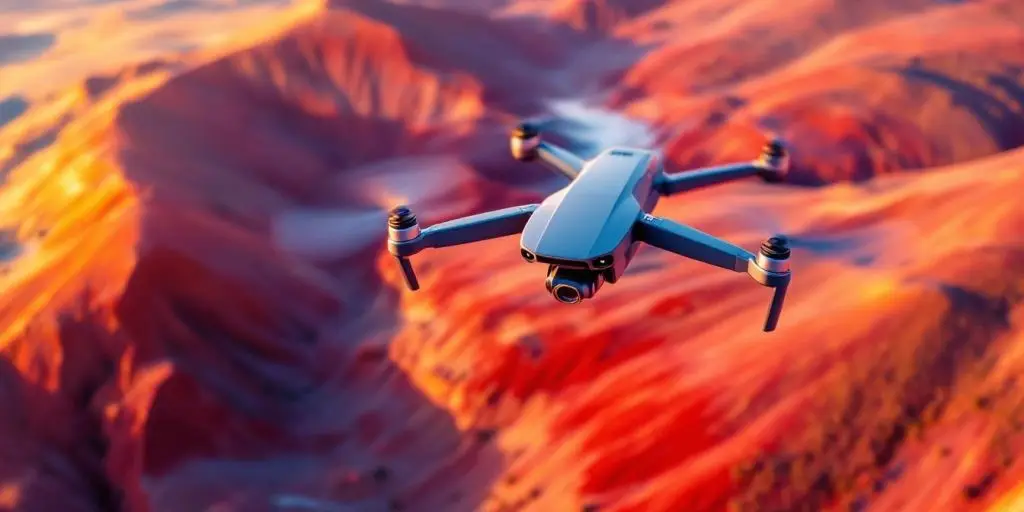
Behind the Scenes of Drone Operations: Technology, Safety, and Applications
Drones have revolutionized our perception of the physical world—transitioning rapidly from recreational gadgets to critical tools for logistics, emergency services, and infrastructure management. Beyond the simple mechanics of flight, a complex network of pre-flight protocols, legal frameworks, and advanced sensor technology drives modern operations.
Here is an inside look at how modern Unmanned Aerial Systems (UAS) operate safely and efficiently behind the scenes.
1. The Evolution of Drone Technology
Unmanned Aerial Vehicles (UAVs) have transformed from military-grade aircraft into compact, highly capable systems that fit inside a backpack. A historical milestone in this evolution was the Gyrodyne QH-50 during the Cold War—one of the earliest operational armed UAVs.
Key Milestones in UAV History
-
1917: Development of the Kettering Bug, the first primitive aerial torpedo.
-
1960s: Reconnaissance drones deployed during the Vietnam War.
-
2000s: Rapid expansion into commercial photography, mapping, and package delivery.
Modern UAS Innovations
Modern drones rely on integrated hardware and autonomous systems to execute precise tasks:
| Feature | Technical Description |
| Imaging | High-resolution RGB and thermal cameras |
| Navigation | GPS, RTK (Real-Time Kinematic), and obstacle-avoidance sensors |
| Automation | Edge AI for real-time flight paths and autonomous return-to-home (RTH) |
-
Future Outlook: Integration with Artificial Intelligence (AI) will drive greater autonomy, enabling broader deployment in agriculture, emergency management, and cross-border logistics.
2. Standard Operating Protocols: Pre-Flight to Post-Flight
Safety protocols are the backbone of any professional drone mission. Operators adhere to rigorous procedures to protect the public, air traffic, and ground assets.
-
Pre-Flight Checks: Inspect airframe for physical integrity, assess propeller damage, test battery cell stability, and confirm GPS lock with local satellite arrays.
-
In-Flight Safety: Maintain Visual Line of Sight (VLOS), avoid operations directly over non-participating crowds, and actively monitor real-time telemetry and weather shifts.
-
Post-Flight Procedures: Log flight metrics, review data streams for equipment anomalies, properly cycle batteries, and securely archive footage/telemetry data.
3. Critical Applications in Emergency Response
In high-stakes environments, drones reduce response times and enter hazardous zones without risking human life. (Note: In emergency UAV operations, only the active flight crew is considered a mission participant, creating a clear operational distinction from general emergency response personnel.
-
Search and Rescue (SAR): Rapidly deploy across vast or impassable terrain using thermal imaging to locate missing individuals.
-
Disaster Management: Survey flood zones, map structural earthquake damage, and pinpoint wildfire hotspots to direct ground resources effectively.
-
Medical Deliveries: Transport time-sensitive payloads, such as blood products, vaccines, and essential prescriptions, to isolated communities.
Emergency Response Deployments
| Disaster Type | Primary UAS Capability | Core Outcome |
| Flooding | High-resolution aerial surveying | Fast damage assessment & route planning |
| Wildfires | Infrared/Thermal imaging | Hotspot detection through heavy smoke |
| Earthquakes | 3D Photogrammetry & mapping | Structural evaluation & safe route identification |
4. Hardware and Technical Architecture
A commercial drone relies on tightly integrated electronic and mechanical subsystems:
-
Flight Controller: The central processor that processes sensor data, maintains stability, and executes pilot commands.
-
Telemetry & Data Links: Secure radio frequency (RF) links that transmit real-time video, altitude, speed, and battery health to the Ground Control Station (GCS).
-
Propulsion Systems: Brushless DC motors powered by high-density Lithium Polymer (LiPo) batteries, engineered for maximum thrust-to-weight ratios.
5. Regulatory and Environmental Challenges
While commercial UAS usage is expanding, several operational and regulatory hurdles remain:
-
Airspace Integration: Operating safely within managed airspace requires strict adherence to local aviation guidelines (e.g., FAA Part 107 in the United States), compliance with altitude restrictions, and avoidance of restricted airspace around airports.
-
Privacy & Security: Ensuring data compliance and establishing public confidence around image capture and data collection.
-
Environmental Impact: Drones have a significantly lower carbon footprint than traditional ground delivery vehicles. However, operators must proactively manage rotor noise pollution and adhere to wildlife protection guidelines near nesting grounds or sensitive ecosystems.
6. Training, Certification, and Industry Uses
Becoming a certified remote pilot requires mastering airspace classification, aviation weather reports, emergency procedures, and maintenance protocols. Continuous training ensures pilots adapt to evolving regulations and software updates.
Commercial Sector Impact
-
Agriculture: Precision crop monitoring, targeted pesticide application, and soil health analysis.
-
Infrastructure: Safe inspection of high-voltage power lines, wind turbines, bridges, and cellular towers.
-
Logistics & Media: Last-mile package delivery and high-end aerial cinematography (including synchronized light shows using drone swarms).
Frequently Asked Questions
What regulations govern commercial drone flights?
Commercial operators must comply with the rules of the local civil aviation authority (such as FAA Part 107 in the US). These regulate flight altitudes, operations over people, night flying, and visual line-of-sight requirements.
How do drones navigate complex environments independently?
Modern drones utilize a combination of GPS tracking, Inertial Measurement Units (IMUs), collision-avoidance sensors (optical and lidar), and onboard AI to map their surroundings in real time.
What is the environmental benefit of using drones over ground transport?
Drones run on electric battery power, eliminating direct tailpipe emissions. Replacing traditional diesel delivery trucks or gas-powered inspection vehicles significantly lowers the overall carbon footprint of those operations.
Popular Posts
August 20, 2026
August 19, 2026
August 18, 2026
August 17, 2026
August 16, 2026
August 15, 2026
Comments are closed.