Aerial Photography in Las Vegas: Get the Perfect Shot
Aerial Photography in Las Vegas: Get the Perfect Shot
Las Vegas offers a unique and visually stunning landscape for aerial photography, ranging from the neon-lit Strip to the rugged Red Rock Canyon. Whether you are looking to hire a professional service or fly a drone yourself, navigating the local regulations and finding the right talent is key.
Las Vegas, known for its dazzling lights and iconic landmarks, offers a unique perspective when captured from above. With advances in technology, aerial photography has become increasingly popular, enabling photographers to capture stunning shots from a bird’s-eye view. In this article, we will explore the importance of aerial photography in Las Vegas and provide valuable tips to help you capture the perfect shot.
Introduction
In today’s digital age, visual content is crucial in various industries. Aerial photography adds a new dimension to traditional photography, providing captivating views and unique angles. Whether for real estate, tourism, or personal projects, aerial photography provides a fresh perspective that can elevate your visuals.
The Importance of Aerial Photography
Advantages of Aerial Photography
Aerial photography offers several advantages over traditional ground-level photography. Firstly, it provides a comprehensive view of large areas, allowing you to capture expansive landscapes or cityscapes. Additionally, aerial photography enables you to highlight specific features or landmarks that may not be as prominent from the ground. This can be particularly useful for showcasing the grandeur of architectural marvels or capturing the essence of a city like Las Vegas.
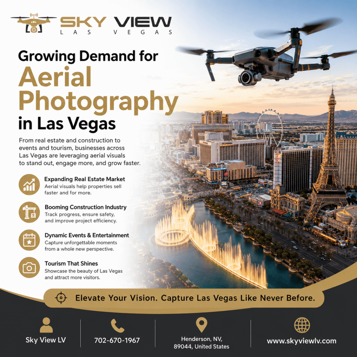
Applications of Aerial Photography
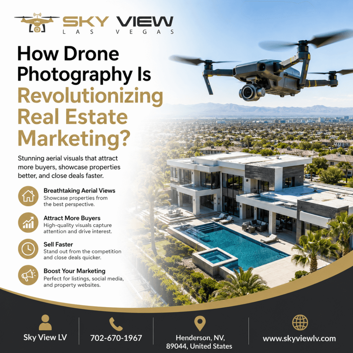
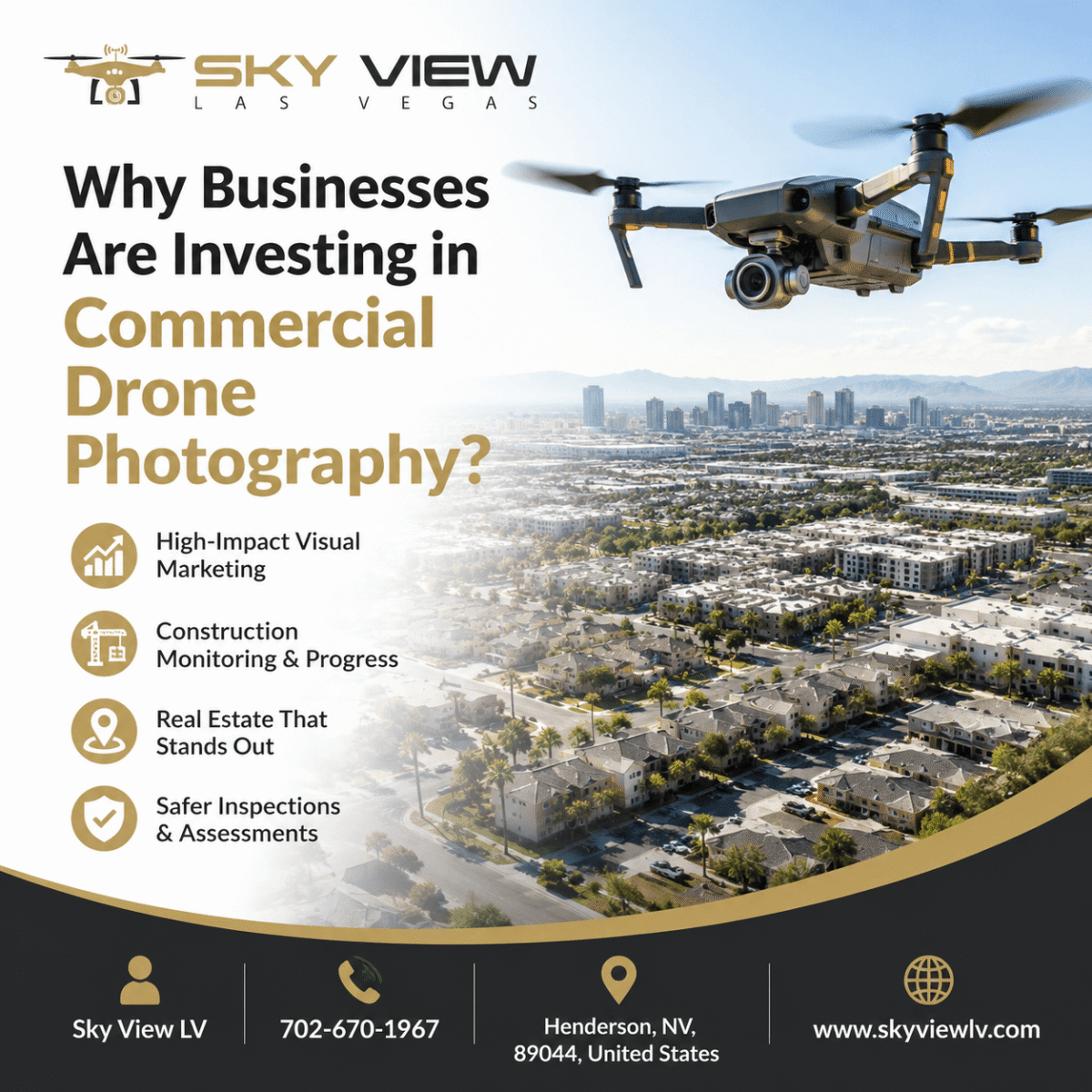
The applications of aerial photography in Las Vegas are extensive. Real estate developers can use aerial photographs to showcase the location and surroundings of their properties, helping potential buyers better understand the area. Event planners can capture the scale and beauty of their events, leaving a lasting impression on attendees. Moreover, tourism boards can use aerial footage to entice visitors by highlighting Las Vegas’s breathtaking attractions and natural wonders.
Aerial Photography in Las Vegas
The Unique Landscape of Las Vegas
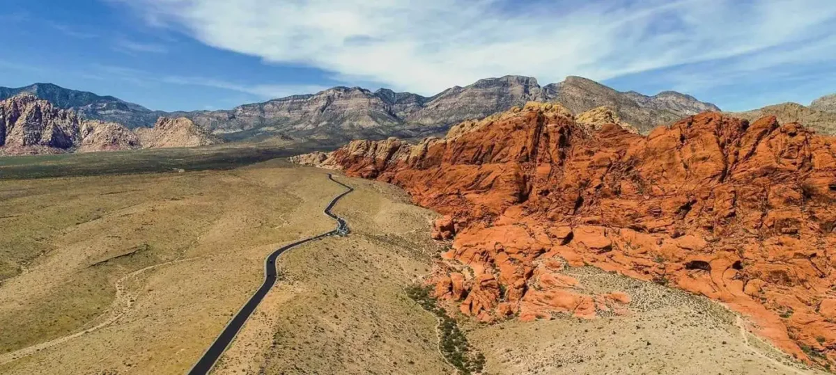
Las Vegas boasts a unique landscape that captivates both residents and tourists. From the famous Las Vegas Strip to the stunning desert scenery, capturing the essence of this vibrant city requires a fresh perspective. Aerial photography enables photographers to capture the striking contrast between the city’s dazzling lights and the vastness of the surrounding desert.
Capturing Iconic Landmarks
Las Vegas is renowned for its iconic landmarks, such as the Bellagio Fountains, the High Roller Observation Wheel, and the Luxor Pyramid. Aerial photography provides an ideal way to capture these landmarks in all their glory, allowing viewers to appreciate their scale and beauty from a new angle. The aerial perspective also adds a sense of grandeur, making these landmarks even more visually striking.
Showcasing Architectural Marvels
Beyond the famous landmarks, Las Vegas is home to architectural marvels that are truly worth capturing from above. The unique designs of the hotels, casinos, and resorts create a visually stunning cityscape. Aerial photography enables you to showcase the intricate details and patterns often overlooked from the ground, offering a fresh and captivating perspective on these architectural masterpieces.
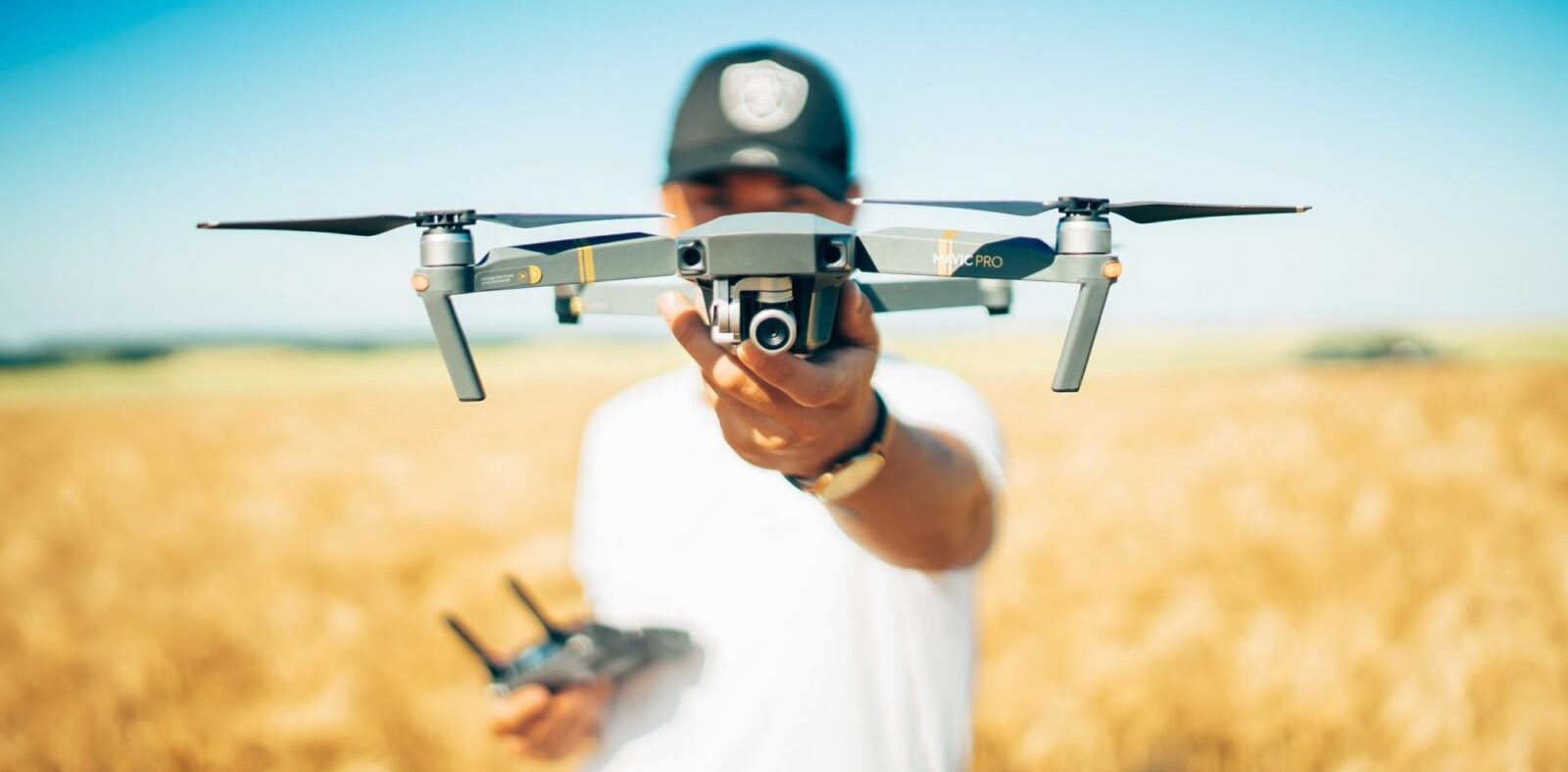
Guy getting ready to fly a drone
Choosing the Right Aerial Photographer
When planning an aerial photo shoot in Las Vegas, selecting the right aerial photographer is crucial to achieving the best results.
Experience and Expertise
Look for a photographer with experience in aerial photography and a portfolio that demonstrates their expertise. A skilled aerial photographer can capture the essence of Las Vegas and create visually striking images.
Equipment and Technology
Ensure the aerial photographer has access to high-quality equipment and the latest technology. This includes drones or helicopters equipped with professional-grade cameras that capture sharp, high-resolution images.
Choosing The Right Drone
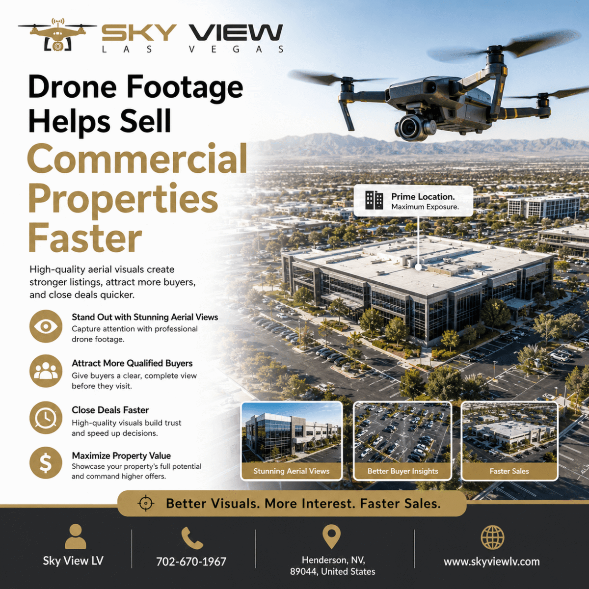
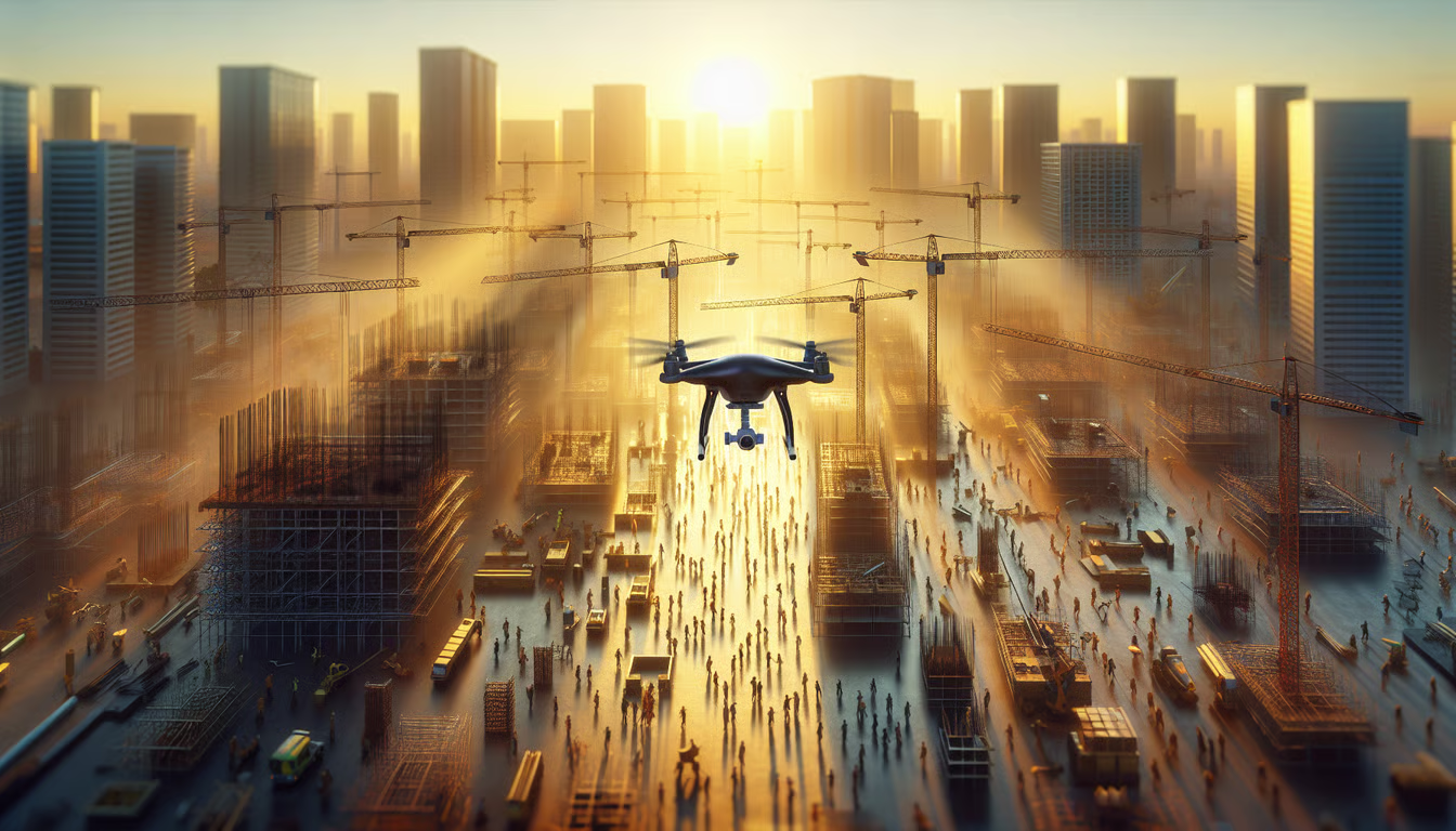
Sky View LV offers some of the best aerial photography and videography services, utilizing DJI drones. If you want to stand out from your competition and get high-quality images, you need a drone to capture it all! DJI’s advanced technology features several distinct advantages that set it apart. The built-in GPS enables these drones to return autonomously if they lose contact with the controller or fly too far. The cameras on these drones can capture images at up to 20 megapixels, ensuring crisp, clear shots with no blurriness or loss of quality. They also have obstacle-avoidance sensors, so they won’t bump into objects during takeoff or landing.
Safety Measures
Safety should be a top priority when conducting aerial photography. Verify that the photographer adheres to all safety guidelines and has appropriate insurance coverage to protect against unforeseen incidents.
Tips for a Successful Aerial Photo Shoot
To achieve the perfect shot in aerial photography, consider the following tips:
Planning and Preparing
Plan your aerial photo shoot by researching locations, understanding airspace regulations, and obtaining necessary permits. Prepare a shot list to ensure you capture all the desired subjects during the limited flight time. Drones are a great way to get aerial photos and videos. Check out this blog post for helpful tips on planning your shoot to capture some fantastic shots. Planning is essential when shooting with drones. Before getting started, consider the following: What type of drone will you be using? What camera will you use? Who will be operating the drone? Who will handle editing and post-production work? Where will the drone footage and photos need to be edited or processed? What time of day would be best for your shoot?
Weather Conditions
Monitor the weather conditions closely before the shoot. Clear skies with good lighting are ideal for aerial photography. Windy or rainy conditions can affect drone or helicopter stability and image quality.
Composition and Framing
Pay attention to composition and framing when capturing aerial photographs. Utilize leading lines, symmetry, and natural patterns to create visually engaging images. Experiment with different angles and perspectives to add depth and interest to your shots. Editing and Enhancing Aerial Photos
Once you’ve captured your aerial photographs, the next step is to edit and enhance them to bring out their full potential. Use professional photo-editing software to adjust exposure, contrast, and color to achieve the desired look. Additionally, consider applying aerial-specific editing techniques such as perspective correction or panorama stitching to create stunning final images.
Editing and Enhancing Aerial Photos
Once you’ve captured your aerial photographs, the next step is to edit and enhance them to bring out their full potential. Use professional photo-editing software to adjust exposure, contrast, and color to achieve the desired look. Additionally, consider applying aerial-specific editing techniques such as perspective correction or panorama stitching to create stunning final images.
You’ve heard the saying that A picture is worth a thousand words, but you may not realize just how true that saying can be, especially when it comes to aerial photography. The Las Vegas Valley boasts numerous beautiful landmarks and sights, including the Las Vegas Strip, Red Rock, and the Magic Mountains, which can make for stunning photos from above if you know what you’re doing. Here are some helpful tips for getting the perfect aerial drone shot.
Choosing the right flying time
When choosing a time for your drone photo, consider what will make your scenery stand out. One of the best times is early morning, when there’s still a bit of light from the east, which can add a beautiful glow to any landmarks you photograph. The other great time is at sunset. The sunsets in Nevada are incredible, and drone photography lets you capture their beauty without standing for hours waiting for them. Sky View LV is the ideal provider of drone photography services in Las Vegas. They offer drone services, including aerial mapping, videography, and aerial photography. Aerial photography offers views of landscapes as never seen before. Drone photography also offers several added benefits, including a fast turnaround time and a low cost per image, making it an affordable option for both small and large businesses.
Getting a License
To fly a drone for commercial purposes, one must apply for and receive a Section 333 Exemption. To do so, you will need to meet three criteria: (1) your vehicle is less than 55 pounds, (2) you are operating it within line of sight, and (3) it is not used for providing emergency services. Next, you need to apply for the FAA’s Remote Pilot Certificate. Then, once granted this certificate, you can register with the FAA as an Unmanned Aircraft System business by filling out an online application. Finally, if you want to obtain certification to use your drone commercially, all you need to do is file a flight plan with the airport for takeoff and landing before proceeding with any flights.
Understanding FAA Regulations
Sky View LV offers clients a variety of drone-based aerial photography and videography services. The FAA regulations for commercial drone use are currently under revision, so it is best to consult with your legal advisors for any questions. If you’re unsure whether your planned photo shoot is permitted under current regulations, we recommend consulting with an attorney before proceeding. Drone flying takes some time to learn, but that means more practice!
When booking a service through Sky View LV, you don’t need to worry about the cost. We offer pricing based on location and request, so please don’t hesitate to contact us with any inquiries or requests.
What’s included in our package? You’ll receive high-quality photos that you can download via Dropbox or Google Drive. We also provide 24/7 customer support.
We always aim to get the perfect shot!
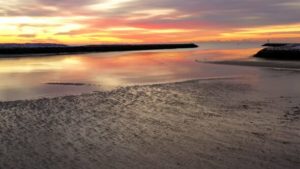
Pretty sunset view
What Makes a Good Drone Video?
The advantage of drones is that they capture more than what the human eye can see. This allows for a much more comprehensive video than one captured from ground level, and it lets people see things from angles and perspectives that wouldn’t be possible without them.
Drone footage captures wide-open spaces, including vast landscapes and cityscapes. It’s also ideal for providing viewers with an aerial view of buildings, such as houses and churches. Videos shot with drones are also known for their stunning views of waterfalls and ocean scapes. There’s something beautiful about seeing these natural wonders from a high vantage point.
Drones can also capture sporting events at close range, making it easy to follow the action on the field or court, regardless of the camera operator’s location.
Additional Equipment Needed for Drone Photos/Videos
Your camera is only one piece of equipment. You’ll also need a drone, which can vary in price and is available for rent or purchase. You may also want to get insurance for your drone before flying it for this aerial photography session. Monitoring weather conditions is essential because drones cannot fly in conditions with excessive cloud cover or winds exceeding 20 miles per hour. Finally, don’t forget about altitude restrictions! Although drones are legal to use in Nevada without a permit, they’re not permitted within five miles of any airport with flight patterns below 1000 feet.
FAQs
FAQs (Frequently Asked Questions)
- Can I use a drone for aerial photography in Las Vegas?
- Yes, drones are commonly used for aerial photography in Las Vegas. However, ensure you comply with all the local regulations and obtain any necessary permits before flying your drone.
- What are the advantages of aerial photography over ground-level photography?
- Aerial photography provides a comprehensive view, captures unique angles, and allows you to showcase large areas or specific features that may not be as prominent from the ground.
- How can I find a reliable aerial photographer in Las Vegas?
- You can find a reliable aerial photographer by researching online, reviewing their portfolios, reading client reviews, and verifying their experience.
Conclusion
Aerial photography offers a unique and captivating way to capture the beauty of Las Vegas from a bird’s-eye perspective. Whether you’re a professional photographer, a real estate developer, or a tourism board, aerial photography can elevate your visuals and leave a lasting impression. By choosing the right aerial photographer, carefully planning your shoot, and applying composition techniques, you can capture the perfect shot that showcases the grandeur and allure of Las Vegas. Las Vegas has numerous restricted areas; be sure to check for any restrictions at DJI Fly Safe.
FLY SAFELY wherever you are.
Popular Posts
May 11, 2026
May 07, 2026
April 03, 2026
February 11, 2026
Comments are closed.