
Overview
Introduction to the Aerial View
The aerial view offers a unique perspective, allowing us to see the world from a different angle. We can gain a better understanding of our surroundings by capturing images from above through satellite imagery or drone photography. The aerial view provides valuable insights into landscapes, urban areas, and natural wonders. It allows us to appreciate the scale and beauty of our planet, and it can also serve practical purposes such as urban planning, environmental monitoring, and disaster management. In this article, we delve into the fascinating world of aerial views, exploring their various applications and benefits.
Importance of the Aerial Perspective
The aerial perspective provides a unique and valuable viewpoint, allowing us to see the world from above. By taking to the skies, we gain a broader understanding of our surroundings and can appreciate the scale and beauty of landscapes, cities, and natural wonders. This perspective is critical in cartography, urban planning, and environmental science, providing crucial insights for analyzing and managing our planet. Additionally, aerial photography and videography have become powerful tools for capturing stunning visuals and documenting events from a bird’s-eye view. Overall, the aerial perspective significantly expands our knowledge, enhances creativity, and fosters a deeper connection with the world.
Historical Significance of Aerial Photography
Aerial photography has played a significant role in documenting historical events and landscapes. It has allowed us to capture a unique perspective from above, providing valuable insights into the past. From the early days of using hot air balloons and kites to modern-day drone technology, aerial photography has evolved and revolutionized our understanding of and perspective on history. It has been used to map archaeological sites, document wars, monitor environmental changes, and aid in urban planning. The ability to see the world from above has expanded our knowledge and given us a deeper appreciation for the planet’s interconnectedness.
Advantages of the Aerial View
Enhanced Understanding of Geographic Features
The aerial view offers a more comprehensive understanding of geographic features. By observing the Earth’s surface from above, we can gain a broader perspective and see the relationships between different landscape elements. This perspective enables us to identify patterns, analyze spatial distributions, and make informed decisions regarding land use, resource management, and urban planning. Furthermore, the aerial view helps us to visualize the interconnectedness of natural and human-made features, such as rivers, roads, buildings, and vegetation. Overall, exploring the aerial view enhances our understanding of the Earth’s geography and enables us to appreciate its complexity and beauty.
Efficient Urban Planning and Development
Efficient urban planning and development are crucial in creating sustainable and livable cities. By carefully designing and organizing urban spaces, cities can optimize land use, reduce congestion, and improve residents’ overall quality of life. This includes strategically locating essential services, such as schools, hospitals, and public transportation, as well as creating green spaces and recreational areas. Additionally, efficient urban planning promotes connectivity and accessibility, making it easier for people to navigate the city and access amenities. By prioritizing efficient urban planning and development, cities can enhance their economic, social, and environmental sustainability.
Improved Disaster Management
The use of aerial view technology has dramatically enhanced disaster management efforts. By capturing images and videos from above, emergency response teams can quickly assess the extent of damage and identify areas that require immediate attention. This information helps mobilize resources and deploy rescue teams effectively. Additionally, aerial view technology enables real-time monitoring of the disaster-affected regions, allowing for timely updates on the situation and facilitating coordination between different response teams. Overall, aerial view technology has revolutionized disaster management by providing valuable insights and improving the efficiency of response efforts.
Applications of Aerial Photography
Mapping and Surveying
Mapping and surveying are essential tools for exploring the aerial view. They allow us to create accurate and detailed maps of the land from above. Using specialized equipment and techniques, we can gather data about the landscape’s topography, vegetation, and other features. This information is crucial for various industries, including urban planning, agriculture, and environmental conservation. Mapping and surveying enable us to understand the world in a different way and make informed decisions based on aerial views.
Environmental Monitoring
The use of aerial view technology has revolutionized environmental monitoring. With the ability to capture high-resolution images and videos from above, researchers and scientists can quickly assess and analyze various ecological factors. Aerial view technology enables the monitoring of land use, vegetation health, water quality, and pollution levels, among other aspects. This valuable information enables informed decisions regarding environmental conservation and management. By utilizing aerial view technology, we can gain a comprehensive understanding of the Earth’s ecosystems and work towards protecting and preserving them for future generations.
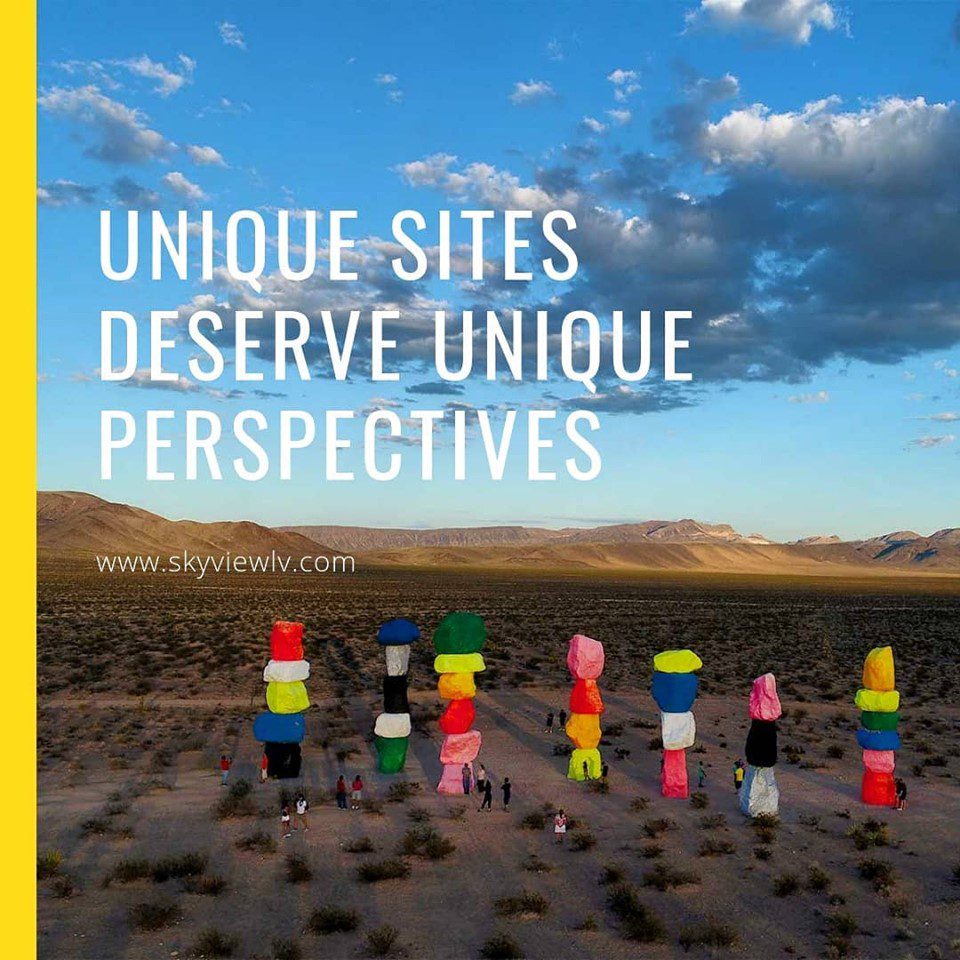
Archaeological Discoveries
Archaeological discoveries provide valuable insights into the past. Archaeologists can uncover information about past civilizations, cultures, and societies by studying ancient artifacts, structures, and remains. The aerial view is a powerful archaeological tool, allowing researchers to identify and map archaeological sites from above. This perspective offers a unique understanding of the landscape, enabling archaeologists to locate hidden ruins, burial sites, and other significant archaeological features. With the help of aerial photography and remote sensing technologies, archaeologists can explore and document archaeological sites in a non-invasive and efficient manner. These discoveries contribute to our understanding of human history and shed light on the mysteries of the past.
Technologies Used in Aerial Imaging
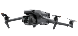
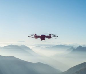
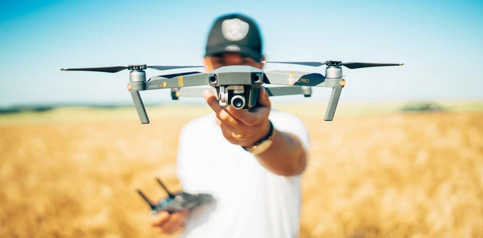
Uncrewed Aerial Vehicles (UAVs)
Uncrewed Aerial Vehicles (UAVs), also known as drones, have revolutionized how we explore the aerial view. These remotely operated aircraft have opened up new possibilities for aerial photography, surveillance, and research. With their ability to fly at high altitudes and capture stunning images and videos, UAVs have become indispensable for various industries, including filmmaking, agriculture, and infrastructure inspection. The advancements in UAV technology have made them more accessible and affordable, allowing individuals and organizations to harness the power of the aerial view like never before.
Satellite Imagery
Satellite imagery plays a crucial role in exploring the aerial view. It offers a unique perspective from above, enabling us to observe and analyze the Earth’s surface with great detail. Technological advancements have made satellite imagery more accessible and widely used in various fields, including cartography, urban planning, and environmental monitoring. By capturing images from space, satellites enable us to study changes in land use, monitor natural disasters, and even track the migration patterns of animals. The wealth of information provided by satellite imagery has revolutionized our understanding of the world and continues to contribute to scientific research and decision-making processes.
LiDAR Technology
LiDAR, which stands for Light Detection and Ranging, is a remote sensing technology that uses laser light to measure distances and create detailed 3D maps of the environment. It emits laser pulses and measures the time it takes for the light to bounce back after hitting an object. This data is then used to generate accurate high-resolution maps, which are particularly useful in aerial surveys and mapping applications. LiDAR technology has revolutionized aerial exploration by providing precise and detailed information about the topography, vegetation, and structures of the land from above.

Conclusion
The Power of the Aerial View
The aerial view offers a unique perspective that is both captivating and enlightening. By viewing the world from above, we can gain a deeper understanding of our surroundings and appreciate the beauty and complexity of the Earth’s landscapes. The aerial view allows us to see patterns, connections, and details that are often overlooked from ground level. It provides a sense of scale and context, revealing the vastness of our planet and the interconnectedness of its various ecosystems. Whether exploring cities, studying geography, or appreciating nature, the power of the aerial view is undeniable. It opens our eyes to new possibilities, inspires creativity, and fosters a sense of wonder and awe. Through aerial photography and satellite imagery, we can explore and discover the world in ways once unimaginable. The aerial view truly can change our perspective and broaden our horizons.
Uncovering New Perspectives
The aerial view provides a unique and captivating perspective, allowing us to see the world from a different angle. Exploring the world from above can reveal new perspectives and provide a deeper understanding of our surroundings. From the vantage point of the sky, we can observe the intricate patterns of cities, the vastness of landscapes, and the interconnectedness of natural and artificial structures. This aerial perspective offers stunning visuals and opens up new possibilities for exploration, research, and creativity. Whether for mapping, environmental studies, or simply admiring the beauty of our planet, the aerial view offers a fresh and inspiring way to experience and appreciate the world around us.
Continued Advancements in Aerial Imaging
In recent years, significant advancements in aerial imaging technology have revolutionized our ability to view and explore the world from above. With the development of high-resolution cameras and sophisticated drone systems, aerial photographers and videographers can capture stunning images and videos from unique perspectives. These advancements have improved the quality of aerial photographs and made aerial imaging more accessible to a broader range of industries and applications. From environmental monitoring to real estate marketing, aerial imaging has become essential for capturing data and providing valuable insights. As technology continues to evolve, we can expect further advancements in aerial imaging, which will open up new possibilities for exploration and discovery.


Comments are closed.