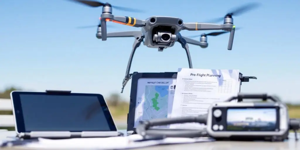
Why Drones are Used in Mapping
Drones, also known as unmanned aerial vehicles (UAVs), have revolutionized geospatial surveying across industries. In recent years, drone mapping has become the go-to solution for capturing high-resolution aerial imagery and gathering precise geospatial data. From precision agriculture to construction site management, drones provide an accurate, cost-effective, and fast alternative to traditional ground-based surveying. In this complete guide, we examine why