Journal

Blog – Drone Photography Tips & Trends | Sky View Aerial Services

Practical guides on pricing, planning and getting the most out of drone photography for real estate, commercial property and construction in Las Vegas.

All articles

More from the Sky View LV journal

Three tiny figurines dressed as workers are posed on and around a large drone labeled MINI 2, highlighting how you can use drones for roof inspections. One stands on top, another sits on a ladder, and the third pushes a wheelbarrow nearby.

5 Reasons to Use Drones for Roof Inspections

While many view drones primarily as recreation or videography tools, commercial UAV (Unmanned Aerial Vehicle) technology has revolutionized property maintenance and building assessments. Traditional roof inspections are often hazardous, labor-intensive, and expensive. Deploying commercial drones turns a complex, high-risk chore into a fast, highly accurate visual and thermal audit. Here are 5 key reasons to switch to drone roof inspections

Read more
A gray DJI Mini 2 drone is placed on a flat surface against a plain background, its camera facing forward and propellers extended—an ideal choice for learning what is drone fleet management in practice.

Why Hire Aerial Drone Services For Commercial Properties?

In today’s fast-paced commercial real estate market, standing out is more crucial than ever. Professional aerial drone services for commercial properties offer high-resolution 4K photography, dynamic videography, and accurate 3D mapping to elevate listings, inspect complex structures, and monitor ongoing construction progress. By providing comprehensive, safe, FAA-compliant aerial views, commercial drone solutions accelerate sales cycles, streamline site inspections, and deliver

Read more
A drone, part of the latest drones for solar panel inspections, flies over a large rooftop covered with solar panels at sunset, with trees visible in the distance.

How to Use Drones for Solar Panel Inspections?

Using drones for solar panel inspections has transformed how commercial solar farms, commercial rooftop installations, and utility-scale PV systems are maintained. By combining high-resolution RGB cameras with advanced thermal imaging (radiometric thermography), unmanned aerial vehicles (UAVs) detect critical faults—such as hot spots, cracked cells, and string outages—faster and more safely than manual walk-throughs. Key Takeaways Speed & Coverage: Aerial solar

Read more
Aerial view of the Las Vegas Strip with hotels, casinos, and shops under a clear blue sky; some palm trees and traffic are visible—showcasing how commercial drone photography assists in promoting your real estate from a stunning perspective.

How Commercial Drone Photography Assists In Promoting Your Real Estate?

Commercial drone photography is fundamentally changing how real estate is marketed, bought, and sold. In a fast-paced market where high-quality visuals drive click-through rates and buyer engagement, static ground photography is no longer enough. Aerial photos and high-definition video offer a dynamic perspective that showcases not just a house, but the entire lifestyle, acreage, and neighborhood. Whether you are listing

Read more
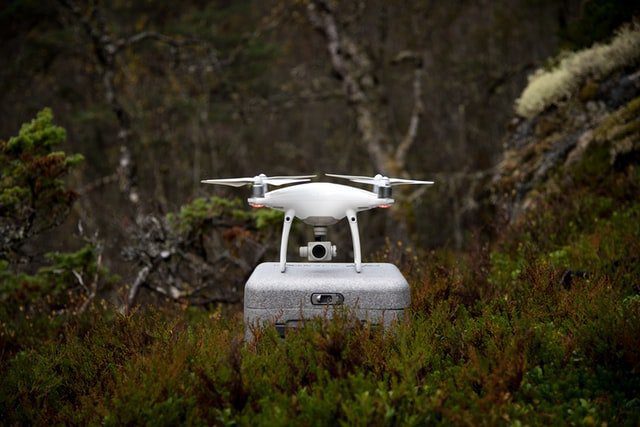
A white quadcopter drone with a camera sits atop a gray case, surrounded by dense green bushes and trees in a forest setting—perfect for capturing your adventures with these must-know drone travel tips.

Must-Know Drone Travel Tips

Traveling with a drone requires significantly more planning than carrying a smartphone or camera. Between strict airline battery regulations, local airspace laws, and international customs restrictions, a little preparation goes a long way toward ensuring a smooth trip. Whether you are a recreational flyer or a seasoned content creator, use this essential guide to fly legally and keep your gear

Read more
A small drone hovers above an outstretched hand indoors, with blurred windows and buildings in the background—a perfect scene to consider What to Do When You Crash Your Drone, ensuring a safe and fun flying experience.

What to Do When You Crash Your Drone

Drone accidents happen to the best of us. Whether caused by pilot error, unexpected wind gusts, or technical signal loss, even experienced pilots sometimes crash. Knowing what to do when you crash your drone is just as crucial as knowing how to fly safely. Follow this step-by-step guide to recover your aircraft, assess structural damage, handle repairs, and prevent future

Read more
A flat lay of photography and tech equipment on a wooden surface, including a drone—ideal for learning what to do when you crash your drone—a camera, two lenses, smartphone, small drone, gimbal, and multi-tool.

Usage of drone in real estate photography

Real estate drone photography is revolutionizing property marketing. By leveraging high-resolution aerial images and cinematic video, real estate professionals can showcase property features, lot boundaries, and neighborhood amenities that traditional ground-level photography cannot capture. Whether you’re listing a single-family home, a luxury estate, or a commercial parcel, aerial media enhances property visualization, boosts online engagement, and maximizes selling potential. Key

Read more
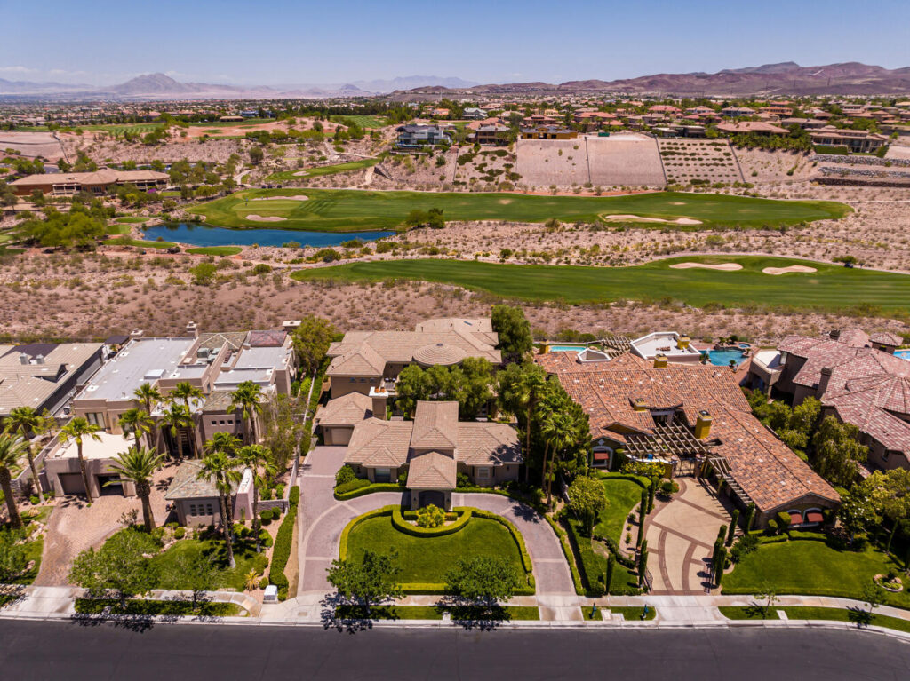
Aerial view of luxury homes with landscaped yards, palm trees, and circular driveways—Elevate Your Views with a Drone Photography Company to capture stunning scenes near a golf course, rolling hills, and clear skies.

Advantages of Real Estate Drone Photography (2026 Guide)

Real estate drone photography has transformed property marketing from standard 2D ground photos into immersive visual experiences. By leveraging aerial photography and video, real estate agents and homeowners can capture dynamic perspectives that showcase a home’s true value, layout, and surrounding location. Whether you are listing a single-family home, a luxury estate, or commercial land, incorporating aerial property photography provides

Read more
A small drone hovers in the sky above misty mountain peaks, with layers of mountains fading into the distance under a clear blue sky—raising the question: Can You Fly a Drone in The Rain?.

Can You Fly a Drone in The Rain?

Technically, yes, you can fly a drone in the rain—but for 99% of consumer drones, you absolutely shouldn’t. Unless you are operating a specialized enterprise drone with a certified waterproof rating, flying in precipitation will likely ruin your aircraft. Drone prices range anywhere from $500 to well over $2,000. Spending that kind of money only to have your drone grounded

Read more
A set of house keys with a keychain and a small model of a house rest on a wooden table, evoking real estate themes—hinting at how a drone can help you sell your house with captivating aerial views.

How a Drone Can Help You Sell Your House

Selling a house in today’s market requires more than just posting static photos online. Buyers expect interactive, high-definition, and immersive visual experiences when browsing listings. Enter real estate drone photography. Unmanned aerial vehicles (UAVs) have revolutionized property marketing, giving sellers and real estate agents a sharp competitive edge. From showcasing expansive outdoor amenities to providing aerial neighborhood tours, here is

Read more
A dramatic view of Horseshoe Bend in the Grand Canyon with text overlay: droneblog. Is this iconic spot one of the best places to fly a drone in America? The question appears in bold white and black letters.

Best Places to Fly a Drone in America

Flying a drone offers an unmatched perspective of the world. Whether you are capturing commercial aerial footage or flying for recreation, the United States features incredible landscapes for drone photography—from dramatic coastal cliffs to expansive desert valleys. However, navigating airspace regulations can be tricky. Because the National Park Service (NPS) prohibits drone takeoffs and landings, the best legal scenic spots

Read more
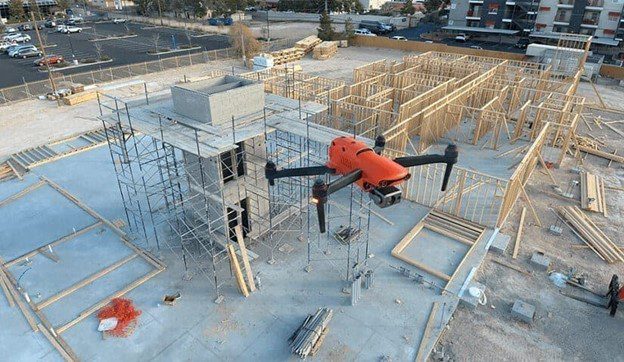
Aerial drone inspection of a construction site with building framework and scaffolding

Critical Benefits of Drones in the Construction Industry That You Should Know

Drones have rapidly evolved from an innovative tech trend into an essential operational tool across the modern construction landscape. From pre-construction site planning and topographic mapping to final quality audits, unmanned aerial vehicles (UAVs) provide project teams with unprecedented visibility, speed, and accuracy. By combining high-resolution sensors such as LiDAR and photogrammetry with AI-driven flight planning, professional drone operations empower general contractors,

Read more

Next step

Ready to see your property from the sky?

Tell us about your property, project or event and we’ll recommend the right flight plan, deliverables and turnaround.
error: Content is protected !!

Free Consultation

Tell us about the shoot

No obligation. Tell us the property, site or event and we’ll recommend the right flight plan, deliverables and turnaround — usually within one business day.

We’ll respond within one business day.