
Why Drones are Used in Mapping
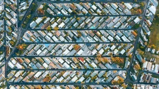
Drones, also known as unmanned aerial vehicles (UAVs), have revolutionized various industries with their versatility and advanced capabilities. In recent years, drones have become increasingly prevalent in mapping applications due to their ability to capture high-resolution aerial imagery and collect geospatial data. From agriculture to construction, surveying to urban planning, drones have proven valuable tools […]