Why Drones are Used in Mapping

Why Drones are Used in Mapping
Drones, also known as uncrewed aerial vehicles (UAVs), have revolutionized various industries with their versatility and advanced capabilities. In recent years, drones have become increasingly prevalent in mapping applications due to their ability to capture high-resolution aerial imagery and collect geospatial data. From agriculture to construction, from surveying to urban planning, drones have proven to be valuable tools for creating accurate, detailed maps. In this article, we examine why drones are widely used in mapping and their impact across various industries.
Introduction
Mapping plays a crucial role in understanding and representing our physical environment. It involves creating maps that visually represent geographical features, landforms, and other spatial information. Traditionally, mapping was conducted using ground-based methods, which were often time-consuming, expensive, and limited in coverage. However, with the advent of drone technology, mapping processes have undergone a significant transformation, offering new possibilities and advantages.
Importance of mapping
Mapping is a fundamental tool across a wide range of industries and applications. Accurate and up-to-date maps are crucial for effective planning, informed decision-making, and efficient resource management. They enable organizations and individuals to better understand their environments, optimize operations, and improve overall efficiency. Let’s explore some of the critical reasons why mapping is crucial in various fields:
- Accurate representation of geographic data: Maps visually represent geographic features, boundaries, and spatial relationships. They allow us to understand the physical characteristics of an area and its environmental attributes—drones in Construction.
- Agriculture: Mapping is essential in the agriculture industry for crop monitoring, precision agriculture, and yield optimization. By analyzing maps generated from drone data, farmers can identify areas of concern, track crop health, and implement targeted interventions.
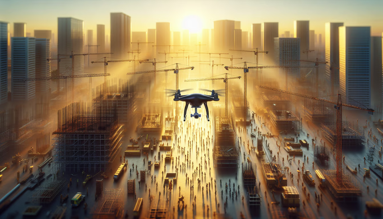
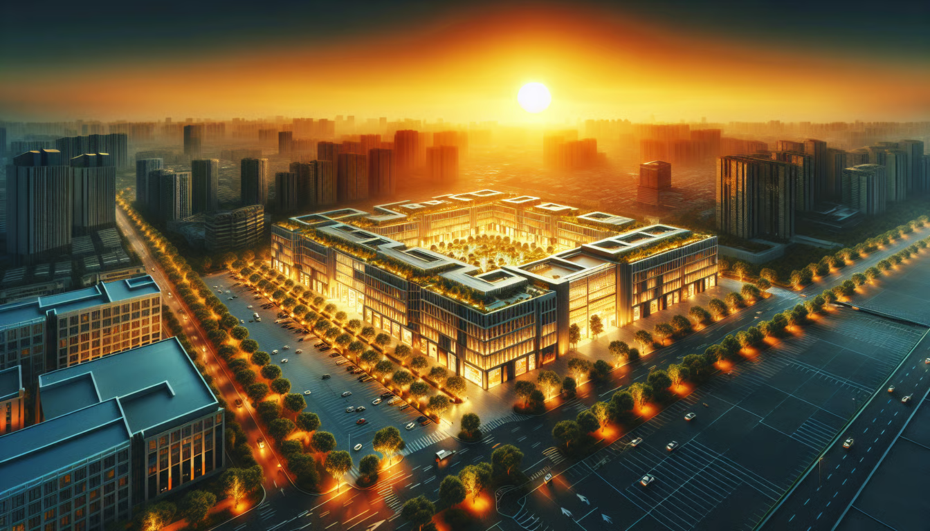
- Construction and infrastructure: Construction projects require precise measurements and surveys. Drones equipped with cameras, LiDAR (Light Detection and Ranging), or thermal sensors can capture detailed aerial imagery, generate 3D models, and monitor construction progress.
- Surveying and mapping: Traditional surveying methods often involve manual measurements and are time-consuming and labor-intensive. Drones provide an efficient alternative by rapidly capturing aerial data and generating accurate maps. They can be used for topographic mapping, the creation of elevation models, and detailed surveys.
- Environmental monitoring: Drones equipped with specialized sensors can contribute to ecological monitoring. They can be deployed to assess ecosystems, track vegetation changes, monitor wildlife habitats, and identify areas prone to natural disasters, such as floods and forest fires.
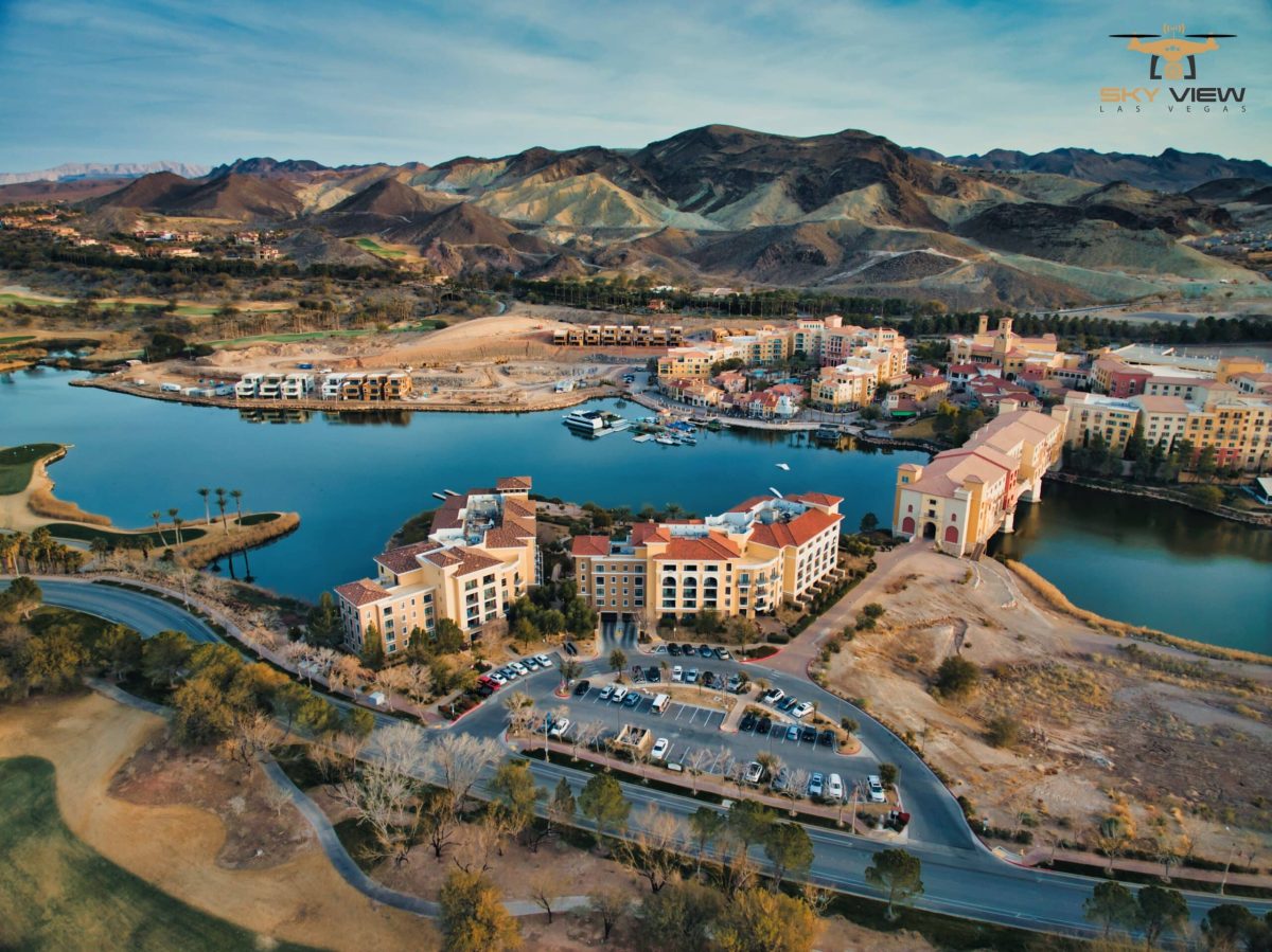
- Urban planning and development: Drones provide valuable insights for these projects. They can capture high-resolution aerial imagery, generate 3D models of cities, and support infrastructure planning. Drone data can also benefit traffic analysis and management, helping improve transportation systems.
Introduction to drones in mapping
Drones used in mapping, often referred to as mapping drones or surveying drones, are specifically designed to collect geospatial data. These drones are equipped with advanced cameras, sensors, and GPS technology to capture accurate aerial imagery and georeferenced data. Integrating drones into mapping workflows has revolutionized the industry, offering several advantages over traditional methods.
Mapping drones typically have high-resolution cameras that capture detailed aerial imagery. They can capture images from various angles and heights, enabling the creation of orthomosaic maps and 3D models with remarkable accuracy. Additionally, drones can be equipped with LiDAR sensors, which utilize laser pulses to measure distances and create precise 3D point clouds.

Applications of drones in mapping and construction
Drones have found diverse applications in mapping across various industries. Let’s explore some of the key areas where drones are extensively used:
Agriculture
Agriculture benefits significantly from drone mapping. Drones can capture detailed imagery of crops, enabling farmers to monitor plant health, detect pest infestations, and assess crop yield. With the help of specialized software, drone data can be used to generate vegetation indices, such as NDVI (Normalized Difference Vegetation Index), allowing farmers to identify areas that require specific attention or treatment.
Precision agriculture, a farming technique that optimizes inputs and resources, heavily relies on drone mapping. Farmers can reduce costs, minimize environmental impact, and maximize crop productivity by targeting irrigation, fertilization, and pesticide application.
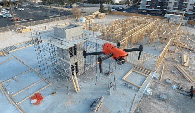
Construction and infrastructure
Drones have become invaluable in the construction industry, aiding in surveying, site inspections, and project monitoring. Traditional surveying methods often rely on manual measurements and are time-consuming. Drones can quickly capture aerial data, creating accurate 2D and 3D maps of construction sites. Mapping Drones in Construction
Site inspections can also be conducted more efficiently using drones. Drones can be equipped with cameras and thermal sensors to identify structural issues, monitor construction progress, and ensure compliance with safety regulations. Drones provide project managers with a comprehensive view of the site, saving time and enhancing decision-making.
Surveying and mapping
Drones have transformed the field of surveying and mapping by streamlining data collection and processing. Traditional land surveying methods often require teams of surveyors to measure distances and record detailed information manually. On the other hand, drones can cover large areas quickly and collect data with high accuracy.
Topographic mapping, the creation of detailed maps that represent the physical features and contours of the land, has become more efficient with the use of drones. By capturing aerial imagery and employing photogrammetric techniques, drones can generate highly accurate topographic maps in a fraction of the time required by traditional methods.
Drones are also used for 3D modeling and photogrammetry in mapping. By capturing multiple images of an object or area from different angles, drones can create detailed 3D models. This technology is beneficial in various fields, including architecture, archaeology, urban planning, and construction site photography.
Environmental monitoring
Drones play a crucial role in environmental monitoring and conservation efforts. They can assess and monitor ecosystems, track changes in land cover, and gather data on wildlife populations. Because they can access remote and difficult-to-reach areas, drones provide a valuable tool for environmental researchers and conservationists.
For example, drones equipped with thermal cameras can help identify and monitor animal populations, including endangered species. They can detect heat signatures and track animal movements, providing valuable insights for conservation initiatives. Drones can also be used to monitor forest health, detect illegal logging activities, and assess the impact of natural disasters on ecosystems.
Mapping disaster-prone areas is another important application of drones in environmental monitoring. By capturing aerial images before and after disasters, such as hurricanes or earthquakes, drones can help identify affected areas, assess the damage, and support disaster response and recovery efforts.
Urban planning and development
Drones have become increasingly valuable in urban planning and development projects. With their aerial perspective and high-resolution imagery, drones can capture detailed data about cities and metropolitan areas. This information is crucial for infrastructure planning, transportation analysis, and the development of smart cities.
Using drones for city mapping, planners can obtain accurate measurements, assess land use, and analyze population density. This data enables informed decisions regarding infrastructure placement, optimizes transportation networks, and enhances urban development strategies.
Drones also contribute to traffic analysis and management. They can capture real-time data on traffic flow, identify congestion points, and monitor transportation patterns to optimize routes and improve efficiency. This information enables urban planners and authorities to make informed decisions that will enhance traffic management and optimize road networks.

Benefits of using drones in mapping
The use of drones in mapping offers numerous benefits compared to traditional methods. Some of the key advantages include:
- Cost-effectiveness: Drones are a cost-effective alternative to traditional mapping methods, as they require fewer resources and can cover larger areas in less time. This makes mapping projects more accessible and affordable, especially for small businesses and organizations.
- Time-saving: Drones can rapidly capture aerial data, significantly reducing the time required for mapping projects. This enables faster decision-making and more efficient planning.
- Safety and accessibility: Drones can access hazardous or hard-to-reach areas, such as steep terrains or disaster zones, without putting human surveyors at risk. They provide a safe and efficient means of collecting data in challenging environments.
- Enhanced accuracy and detail: Drones with high-resolution cameras and advanced sensors can capture detailed imagery and geospatial data. This leads to more accurate maps, 3D models, and measurements, enabling better decision-making and analysis.
Challenges and considerations
While drones offer significant advantages in mapping, several challenges and considerations need to be addressed:
- Regulatory and legal framework: The use of drones is subject to regulations and restrictions imposed by aviation authorities. Operators must comply with airspace regulations, obtain necessary permits or licenses, and ensure safe and responsible drone operation.
- Privacy concerns: Drones equipped with cameras, particularly in urban areas or near residential properties, raise significant privacy concerns. Clear guidelines and ethical practices must be in place to protect individuals’ privacy.
- Weather conditions and flight restrictions: Drones are sensitive to adverse weather conditions, including strong winds and rain. Flight restrictions may be imposed in certain areas or at specific times, thereby limiting drone operations for mapping.
Future trends in drone mapping
The field of drone mapping continues to evolve, with several exciting trends and advancements on the horizon:
- Advancements in drone technology: Drone technology is rapidly advancing, with improvements in flight stability, battery life, and payload capacity. This enables drones to carry more sophisticated sensors and capture higher-quality data.
- Integration with AI and machine learning: The integration of drones with artificial intelligence (AI) and machine learning (ML) algorithms is set to revolutionize mapping capabilities. AI-powered image processing and data analysis algorithms can automatically extract valuable information from drone-collected data, such as object recognition, vegetation health analysis, and anomaly detection.
- Expansion of drone applications: Drones in mapping continually expand into new industries and sectors. Drones, from archaeological surveys to wildlife conservation, are used across diverse fields to collect valuable data and provide unique perspectives.
- Improved data analytics and visualization: With advances in data analytics and visualization tools, the interpretation and use of drone-collected data will become more accessible and user-friendly. Interactive maps, 3D visualizations, and data-driven insights will empower decision-makers to extract maximum value from drone mapping.
- Miniaturization and swarm technology: Miniaturized drones and swarm technologies, in which multiple drones collaborate, have the potential to enable more efficient and agile mapping operations. Smaller drones can access tight spaces, whereas swarms can cover larger areas simultaneously, thereby enhancing mapping capabilities.
Conclusion
Drones have become indispensable tools in mapping, revolutionizing the way we collect geospatial data and create accurate, detailed maps. From agriculture and construction to surveying and environmental monitoring, drones offer numerous advantages over traditional mapping methods. They provide cost-effective, time-saving, and safe solutions for capturing high-resolution imagery and collecting geospatial data, such as drones in construction.
Drone mapping applications are expected to expand as drone technology advances and integrates with artificial intelligence (AI) and machine learning. The future holds promising advancements in data analytics, visualization, and the use of miniaturized drones and swarm technology.
The potential of drones in mapping is vast. They offer improved efficiency, accuracy, and accessibility for industries and organizations that rely on accurate spatial data. Embracing drone technology and harnessing its capabilities will unlock new possibilities for innovation and informed decision-making.
FAQs (Frequently Asked Questions)
1. Are drones only used for aerial photography?
No, drones have a wide range of applications beyond aerial photography. They are used across industries, including agriculture, construction, surveying, and environmental monitoring, to collect geospatial data, generate maps, and derive valuable insights. Construction site aerial photography
2. How accurate are drone-generated maps?
Drone-generated maps can achieve high accuracy, depending on the quality of the equipment and the data-processing techniques employed. With advanced sensors and software, drones can capture detailed imagery and generate maps with centimeter-level accuracy.
3. Are there any legal restrictions on flying drones for mapping purposes?
Yes, the use of drones for mapping purposes is subject to regulations and restrictions imposed by aviation authorities. It is crucial to comply with local laws, obtain the necessary permits and licenses, and adhere to safety guidelines when operating drones for mapping purposes.
4. Can drones be used in adverse weather conditions?
Drones are sensitive to adverse weather conditions, including strong winds, rain, and fog. Before operating drones for mapping, it is important to consider weather conditions and flight restrictions. Flying drones in unfavorable weather conditions poses risks to the drone and compromises data quality.
5. What is the future of drone mapping?
The future of drone mapping looks promising, with technological advancements and expanding applications. Integration with AI and machine learning, improved data analytics and visualization, and the development of miniaturized drones and swarm technology are some trends that will shape the future of drone mapping, offering even greater capabilities and efficiency. Drone predictions for 2023.
Popular Posts
February 11, 2026
February 11, 2026
January 23, 2026
January 22, 2026
November 14, 2025

November 04, 2025
Comments are closed.