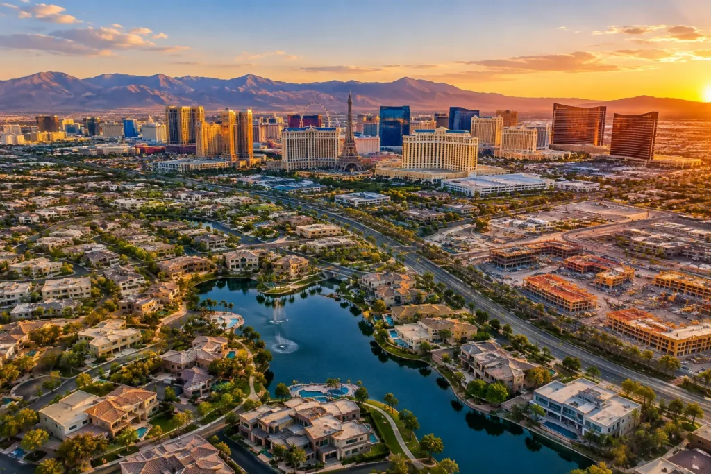
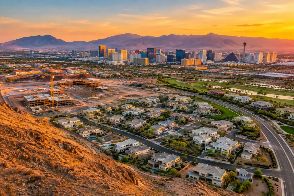
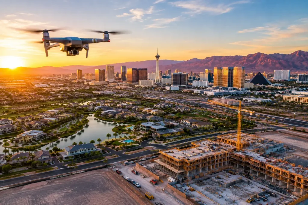
A rooftop view can show a buyer exactly how a Las Vegas property sits in relation to the Strip, the mountains, nearby retail, or a growing development corridor. But can you fly a drone near Harry Reid Airport? Often, the answer is yes with the proper FAA authorization, planning, and pilot qualifications. It is never as simple as arriving with a drone and taking off.
For real estate, construction, and commercial property teams, that distinction matters. Harry Reid International Airport sits within some of the busiest and most closely managed airspace in Southern Nevada. Aerial media can still be possible for properties in and around this area, but the flight must be planned around the location, approved altitude, operating conditions, and current airspace restrictions.
Can You Fly a Drone Near Harry Reid Airport?
You may be able to fly a drone near Harry Reid International Airport, but controlled-airspace authorization is generally required before takeoff. The airport is surrounded by Class B airspace, which is controlled by the FAA because of the volume and complexity of manned aircraft traffic.
There is no universal distance from the airport that makes a flight automatically legal or illegal. A property five miles away may have a different approved altitude than a property two miles away, depending on its precise location and the surrounding airspace grid. In certain locations, the FAA may permit a low-altitude operation. In others, the available altitude may be zero feet, meaning a drone operation cannot be approved there under normal conditions.
That is why a map pin, address, or parcel boundary should be reviewed before promising aerial photography for a listing or project. The real question is not simply how close the property is to the airport. The question is whether the requested flight can be conducted legally and safely at that specific location at the time it is needed.
Authorization Is Not a Casual Courtesy Call
A common misconception is that notifying the airport, calling the control tower, or getting a verbal okay is enough. It is not. Drone operators must use the FAA’s required authorization process to operate in controlled airspace. Depending on the location and mission, authorization may be obtained through the FAA’s automated Low Altitude Authorization and Notification Capability (LAANC) system or through a separate FAA authorization request.
The authorization identifies what may be flown, where, and up to what altitude. It may also include operational provisions that the remote pilot must follow. A 100-foot authorization, for example, does not permit climbing to 200 feet because the building has a dramatic skyline view. The altitude ceiling is a condition of the operation.
Approval also does not override every other concern. Temporary Flight Restrictions, VIP movements, emergency activities, stadium restrictions, military activities, weather, and local site limitations can affect whether a planned mission proceeds. Las Vegas airspace changes quickly. A professional flight plan includes a current airspace check on the day of the shoot, not just when the project is first scheduled.
What Commercial Property Teams Need to Know
If aerial photos or video are used to market a home, document construction, support a lease package, show a land parcel, or help communicate with investors, the flight is generally a commercial operation. That means the pilot should hold an FAA Part 107 Remote Pilot Certificate and operate in accordance with the applicable Part 107 rules.
A qualified commercial pilot also evaluates more than airspace. They confirm the takeoff and landing area, establish a visual line of sight, inspect the site for power lines and obstructions, review the weather, set a safe flight path, and protect people who are not participating in the operation. Remote ID requirements, aircraft condition, battery management, and appropriate night-operation procedures also belong in the preflight process when applicable.
For clients, this is not administrative busywork. It is the difference between polished, usable visual assets and a shoot that gets delayed, cut short, or creates avoidable liability. Aerial imaging near an airport demands the same discipline as any other professional production service: preparation first, execution second.
The altitude available may change the creative plan
An approved flight near Harry Reid may have a lower maximum altitude than a project farther from controlled airspace. That does not make the imagery less valuable. It changes how the crew approaches the shot list.
For a residential listing, a lower altitude can still reveal lot size, outdoor living areas, golf-course adjacency, neighborhood character, and access routes. For a commercial site, it can show parking capacity, building footprint, tenant visibility, ingress and egress, and proximity to key corridors. Construction teams can capture repeatable progress views from approved elevations, making it easier to compare site changes over time.
The strongest drone work is not always the highest. It is the shot that clearly communicates the property while staying within the approved operating envelope.
Why DIY Drone Flights Create Unnecessary Risk
Consumer drones make aerial photography look easy, especially when they include a camera and automated flight modes. Near airport airspace, however, convenience can create false confidence. Geofencing in a drone app does not require FAA authorization, and the absence of a warning screen does not confirm that a flight is allowed.
A property owner or agent who launches without required authorization can expose themselves to disrupted marketing timelines, enforcement consequences, and insurance complications. The same concerns apply when hiring an inexperienced operator who cannot explain the airspace process, approved altitude, or credentialing.
There is also a business cost. A high-value listing may only have one ideal window for staging, landscaping, weather, or occupancy. A construction milestone cannot always be recreated next week. Relying on an unprepared operator can mean losing the aerial perspective that makes the project stand out when attention is closest.
Professional operators reduce that friction by assessing feasibility early. If the location permits a flight, they plan it around the authorization and the client’s visual priorities. If the location has restrictions that limit or prevent the intended operation, they can recommend a compliant alternative rather than discovering the problem after the crew and client are already on site.
A Practical Process for Airport-Area Aerial Media
The best time to address airspace is before a listing goes live or a construction progress date is locked in. Share the property address, the goal of the shoot, the desired deliverables, and any must-have features. Aerial stills, cinematic video, 360-degree photo spheres, vertical social clips, and repeatable construction views may require different flight paths and timing.
Next, the pilot evaluates the exact location against current airspace data and determines whether the requested altitude and route are feasible. If FAA authorization is available, the operation is scheduled with appropriate conditions and contingency plans. If the project is near a particularly sensitive area, additional lead time may be necessary.
On the day of the flight, the operator should again confirm current conditions, inspect the launch area, coordinate with the site contact, and efficiently capture the approved shot list. The result should feel effortless to the client because the compliance work happened before the cameras came out.
This process is particularly valuable for properties near the Strip, airport-adjacent commercial corridors, resort zones, and redevelopment areas. These locations often have powerful visual stories to tell, but they also demand precise flight planning.
FAA-Certified Service Is a Marketing Advantage
For a seller, developer, broker, or property manager, hiring a qualified aerial imaging provider is not just about checking a compliance box. It protects the project and gives the creative team room to focus on the asset itself.
Sky View LV combines FAA-certified drone pilots, documented airspace planning, and insurance coverage designed for professional projects. That allows clients to pursue compelling perspectives in sensitive Las Vegas operating areas without taking on aircraft maintenance, training, authorization research, flight planning, or post-production work internally.
Aerial photography near Harry Reid Airport can be a significant advantage when handled correctly. The most useful next step is to assess the property early, build the visual plan around what the airspace allows, and let the location guide the creative approach rather than forcing a risky flight.