Construction Drone Services for Better Site Control
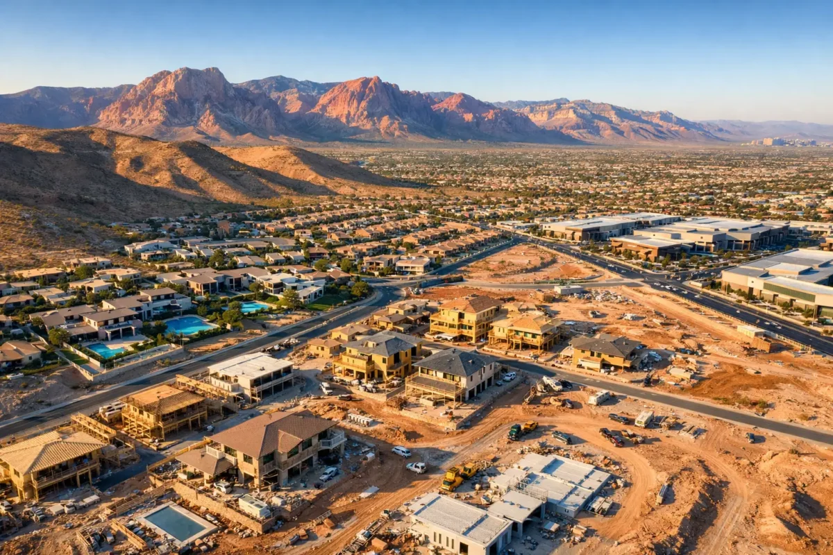
A construction site can change more in two weeks than a set of ground-level photos can show in an entire report. Earthwork shifts, structures rise, access routes move, and the relationship between a project and its surrounding parcel becomes harder to explain from the ground. Professional construction drone services provide owners, developers, contractors, and investors with a clear visual record of change from the perspective that matters most.
For Las Vegas projects, aerial documentation also requires more than a capable camera. Controlled airspace, flight restrictions, weather conditions, and active jobsite safety all need to be addressed before a drone takes off. The right aerial partner combines high-resolution imagery with FAA-certified flight operations, documented insurance, and a production plan built around the project schedule.
What Construction Drone Services Actually Deliver
Construction drone work is often described as progress photography, but the value extends far beyond a few impressive overhead images. A planned aerial capture provides context: where the project sits, how site work is advancing, what is complete, and what remains visible to the team, lender, investor, or future tenant.
A typical assignment may include high-resolution aerial stills, cinematic video, overhead site views, oblique images that show elevation and scale, and 360-degree photo spheres. The mix should depend on the audience. A superintendent may need a consistent, recurring view for progress documentation, while a developer preparing an investor update may need polished footage that showcases both the building and its access to roads, retail, neighborhoods, and major Las Vegas amenities.
This is not a replacement for surveying, engineering verification, or safety inspections. Drone imagery is a powerful visual documentation tool, but it should support the work of qualified project professionals rather than stand in for technical measurements or compliance reviews. When expectations are clear, it becomes far more useful.
Better Visibility Without More Jobsite Disruption
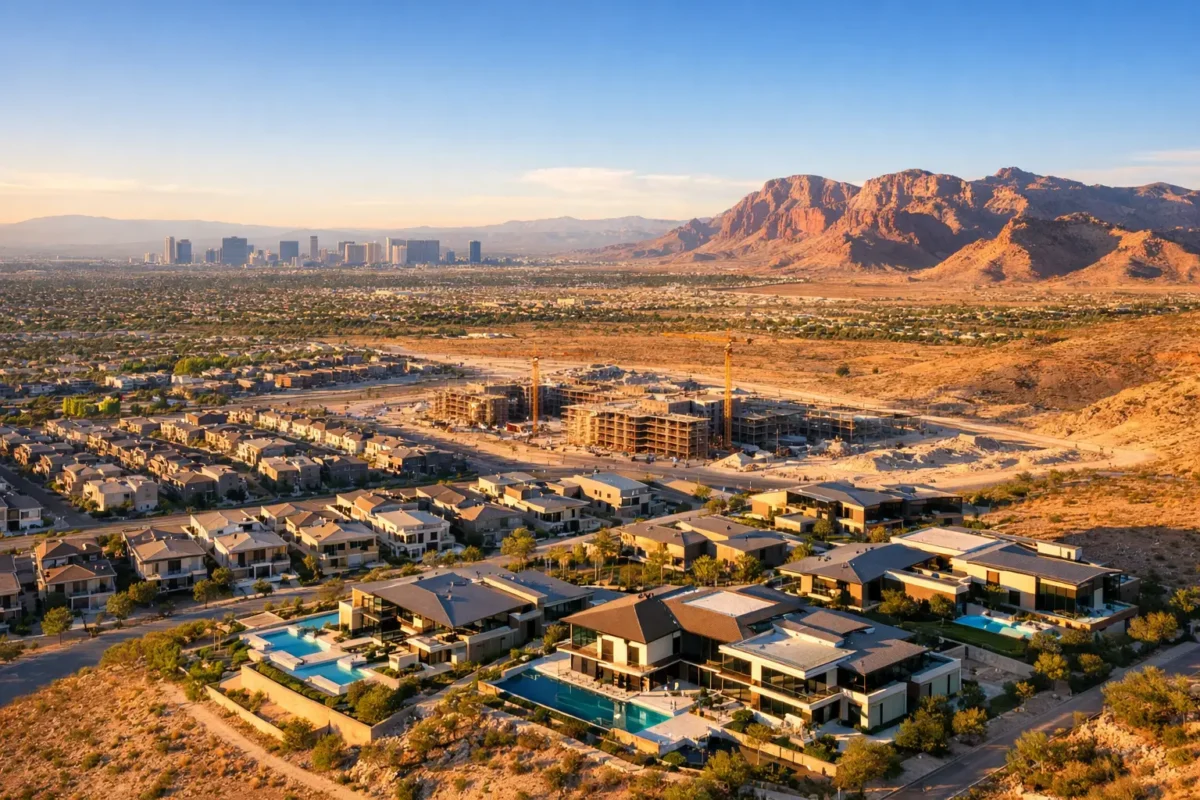
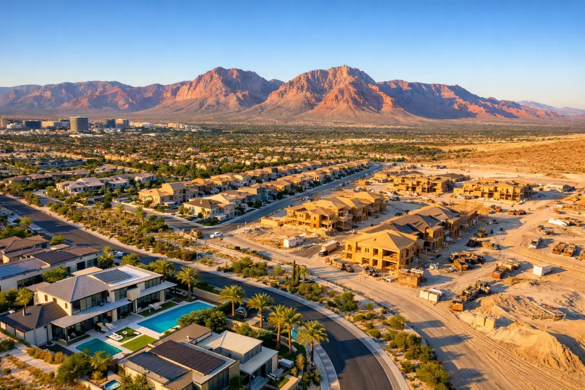
Ground photography has a place on every project, especially for details, interiors, finishes, and close-up work. It cannot always show the full story. Aerial imagery can reveal the relationship between staging areas, material storage, site access, drainage routes, parking fields, adjacent development, and the overall construction footprint in a single frame.
That broader view can improve communication when people are not physically on-site. Owners and investors may live out of state. Brokers may need updated visuals before marketing a commercial property. Property managers may need a current perspective for leasing discussions. Instead of relying on a verbal description of progress, stakeholders can see the project at the appropriate scale.
Recurring flights are especially effective when captured from similar angles at defined milestones. The result is a visual timeline that makes it easy to compare progress. It can help document major phases, including grading, foundation work, steel placement, enclosure, exterior completion, and final site improvements.
There is a practical trade-off, however. Flying every week is not automatically better than flying at meaningful milestones. Frequent captures can be valuable for a fast-moving or high-profile project, but a schedule tied to actual construction activity often provides greater value. The best cadence depends on the project’s size, timeline, reporting needs, and budget.
Aerial media for reporting and decision-making
Aerial stills can be incorporated into project updates, lender reports, presentations, and internal documentation. Video can give a client or prospective investor a more complete sense of approach, scale, and surrounding access. A 360-degree photo sphere can place a remote viewer at a selected vantage point and allow them to study the site in greater detail.
The goal is not to create footage for its own sake. Every capture should answer a useful question: What has changed? What needs to be communicated? What will a remote stakeholder need to understand without walking the jobsite?
Safety and Compliance Are Part of the Service
Construction activity creates a demanding flight environment. Crews, cranes, heavy equipment, dust, changing work zones, and limited access require deliberate coordination. A professional pilot plans the mission around site activity, communicates with the appropriate point of contact, and avoids creating distractions for workers or equipment operators.
In Southern Nevada, airspace planning can be equally critical. A project near Harry Reid International Airport, Nellis Air Force Base, or other restricted areas may require authorization and careful operational planning. Assuming a drone can fly simply because the property is visible from the road is a costly mistake.
FAA-certified drone pilots understand the operating requirements for commercial flights. Fully insured operators provide another layer of confidence for clients managing active construction sites and valuable assets. Sky View LV can provide coverage from $1 million to $10 million, helping match insurance requirements for a specific project or client.
Hiring a qualified provider also removes the burden of purchasing equipment, training staff, maintaining batteries and aircraft, securing permissions, monitoring conditions, and editing the final media. A consumer drone in the hands of an unprepared employee may seem like a quick solution, but it can introduce unnecessary operational and liability concerns.
How to Plan a Construction Drone Capture
The strongest results begin before the flight date. Start by identifying the purpose of the imagery and who will use it. A monthly owner report needs a different deliverable than a marketing package for a newly completed industrial building.
Share the project address, current phase, preferred timing, known site constraints, and any required safety procedures during the initial consultation. If there are specific viewpoints to repeat, existing renderings to match, or neighboring features to highlight, mention them early. Aerial production is more efficient when the pilot understands the story the project needs to tell.
For recurring documentation, establish a consistent flight plan where conditions allow. Similar altitude, direction, and framing make side-by-side comparisons more meaningful. At the same time, leave room for new angles when a major milestone changes the project’s visual impact. The steel frame, finished facade, and completed parking lot should not all be photographed exactly the same way if a different viewpoint better communicates the progress.
Timing matters as well. Early morning or late afternoon light can add dimension to finished architecture, while midday may be more practical for a quick progress update. Wind, heat, haze, and dust can affect flight conditions and image quality in the Las Vegas area. A dependable operator evaluates those variables rather than promising a one-size-fits-all shoot.
When Aerial Documentation Adds the Most Value
Construction drone services are particularly useful when the project’s size, location, or pace makes conventional photography incomplete. Large commercial parcels, multifamily developments, industrial sites, land development, hospitality projects, and master-planned communities all benefit from visual context that is difficult to capture from ground level.
They are also valuable at transition points. Before construction begins, aerial imagery establishes a baseline condition of the site and its surroundings. During construction, it creates a record of visible progress. At completion, it becomes a premium marketing asset for leasing, sales, investor communication, and future property presentations.
For commercial real estate professionals, that final set of aerial assets can continue working long after the construction team has moved on. A polished flyover can highlight building access, proximity to major corridors, parking capacity, nearby retail, and the broader market context. Those are selling points, not just scenery.
Choose a Provider Built for Active Jobsites
The lowest quote is not always the lowest-risk choice. Before booking, ask whether the pilot is FAA-certified, insured at the level your project requires, experienced around active construction operations, and prepared to address local airspace needs. Ask what deliverables are included, how images and video will be edited, and whether a recurring documentation schedule can be tailored to the project.
It also helps to discuss turnaround expectations before flight day. Some project updates need to be shared quickly, while marketing footage may deserve additional editing and color work. Clear scope prevents a documentation shoot from becoming a mismatched creative request after the fact.
Aerial imaging earns its place on a construction project when it makes the next conversation easier. Whether that conversation is with a lender, investor, buyer, broker, project manager, or future tenant, a well-planned aerial view can turn visible progress into confidence.
Popular Posts
August 29, 2026
August 28, 2026
August 27, 2026
August 26, 2026
August 25, 2026
August 24, 2026
Comments are closed.