Drone Photography Company: Quality Aerial Services
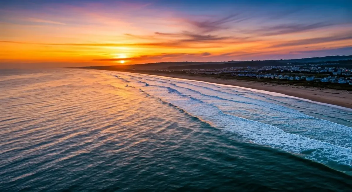
Professional Drone Photography Company: Elevate Your Visuals with Quality Aerial Services
Key Highlights
-
High-Impact Visuals: Capture stunning aerial perspectives that elevate your brand and engage target audiences.
-
Versatile Applications: From real estate listings and construction site monitoring to grand events and commercial video production.
-
Technical Excellence: Combine advanced camera settings, flight precision, and professional post-processing for crisp, high-resolution media.
-
Regulatory Compliance: Work with FAA Part 107 certificated remote pilots to ensure legal, safe, and fully insured operations.
Introduction
In today’s visual-first digital landscape, compelling media is essential to capturing user attention. Professional drone photography bridges art and advanced technology, providing dramatic aerial views that ground-based photography simply cannot match. Whether you are marketing real estate, tracking construction progress, or capturing large-scale events, aerial imaging delivers powerful storytelling tools that drive business results.
The Growth & Power of Aerial Imaging
High-quality aerial footage used to require expensive helicopter rentals and bulky cinema rigs. Today, modern unmanned aircraft systems (UAS) offer dynamic, cost-effective aerial views, making top-tier visual marketing accessible to businesses of all sizes.
Why Aerial Imagery Works
-
Dynamic Angles: Drones can maneuver in tight spaces, fly close to structures, and reach high altitudes for unique framing.
-
Higher Engagement: Dynamic visuals stand out on social media platforms, websites, and ad campaigns, significantly increasing viewer retention and conversions.
-
Data & Storytelling: Beyond aesthetic appeal, aerial imaging provides actionable insights for site progress, property measurements, and spatial analysis.
Core Drone Photography Services
Partnering with an experienced drone photography company gives you access to a wide range of specialized services tailored to your industry:
Mastering the Technical Side of Drone Photography
Delivering crisp, color-accurate aerial images requires technical mastery and an eye for composition.
Hardware & Flight Controls
Modern drone systems feature 4K/5K high-resolution sensors, 3-axis motorized gimbals for stability, and intelligent flight modes. Utilizing interchangeable lenses and manual camera settings (ISO, shutter speed, aperture, and neutral density filters) allows experienced pilots to adapt seamlessly to changing light conditions.
Environmental Factors & Editing
Flight stability and image quality depend heavily on environmental awareness:
-
Lighting & Shadow: Scheduling shoots during golden hour (sunrise/sunset) creates rich textures and depth.
-
Wind & Weather: Managing wind resistance ensures smooth video stabilization and sharp long-exposure photos.
-
Post-Processing: Color grading, shadow recovery, and lens correction refine raw aerial images into polished, professional assets.
Practical Applications Across Major Industries
Aerial imaging transforms how organizations market their assets and monitor operations:
-
Real Estate & Development: Give prospective buyers an immersive preview of residential homes, land parcels, and commercial developments.
-
Golf Course & Resort Management: Showcase course layouts, feature updates, and facility amenities with high-definition promotional fly-throughs.
-
Infrastructure & Inspection: Conduct safe visual inspections of roofs, solar arrays, communication towers, and remote terrain without exposing crews to hazards.
Planning a Successful Drone Shoot
Seamless execution relies on clear communication, site preparation, and strict adherence to airspace regulations.
Pre-Flight Checklist
-
Define Objectives: Outline specific angles, key features, and shot lists with your drone pilot.
-
Site Reconnaissance: Identify potential obstacles, power lines, flight hazards, and optimal lighting angles.
-
Power Management: Ensure all flight batteries and backup equipment are fully charged and inspected prior to launch.
Safety & Legal Requirements in the United States
Commercial drone operations require strict compliance with Federal Aviation Administration (FAA) regulations to protect public safety and avoid hefty penalties:
-
Part 107 Remote Pilot Certification: Any pilot flying for commercial purposes must hold a valid FAA Part 107 Remote Pilot Certificate.
-
UAS Registration: All commercial drones weighing between 0.55 lbs and 55 lbs must be registered via FAA DroneZone.
-
Airspace & Authorization: Flying near controlled airspace (e.g., airports) requires automated LAANC clearance or special FAA authorization.
-
Privacy & Property Rights: Respect local privacy laws and refrain from capturing individuals or private property without consent.
Frequently Asked Questions
How do I choose the right drone photography company?
Look for a provider with FAA Part 107 certified pilots, comprehensive commercial liability insurance, a strong portfolio in your specific industry, and verified client reviews.
Can drone photography help sell real estate faster?
Yes. Aerial photography highlights unique exterior features, property scale, neighborhood proximity, and views that standard ground shots cannot show, leading to higher buyer interest and faster sales.
What weather conditions prevent a drone flight?
Drones cannot safely fly in heavy rain, high winds (typically exceeding 20–25 mph depending on aircraft rating), dense fog, or restricted low-visibility airspace.
Popular Posts
August 13, 2026
August 13, 2026
August 12, 2026
August 11, 2026
August 09, 2026
August 09, 2026
Comments are closed.