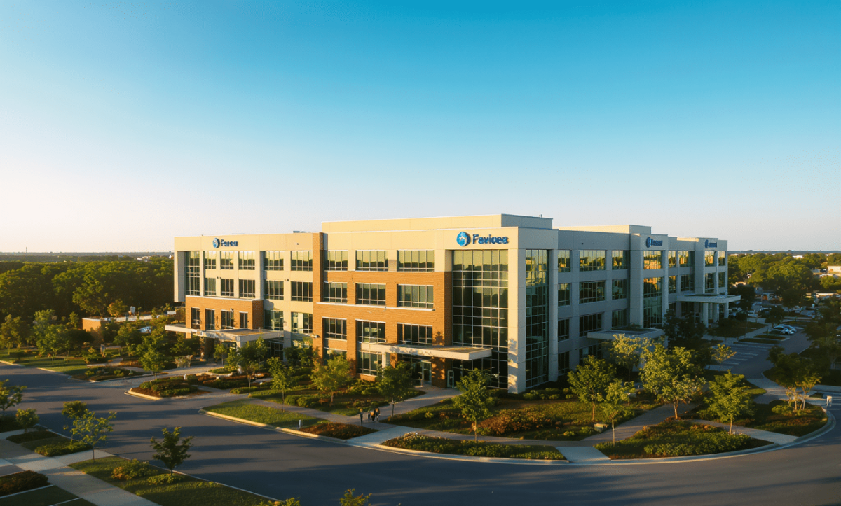
Drone Photography FAQs for Real Estate & Business: Essential Guide
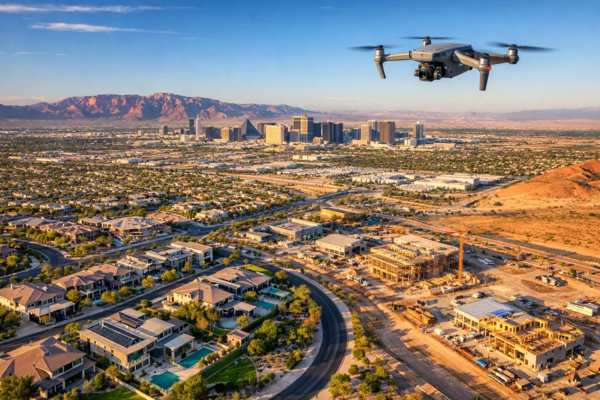
In today’s competitive property and marketing landscape, aerial photography has moved from a luxury to an essential business tool. Whether you are a real estate agent showcasing a luxury listing, a construction firm tracking site progress, or a marketing agency crafting a compelling campaign, professional drone photography delivers a perspective that ground-level photography simply cannot match.
This comprehensive guide answers the most frequently asked questions about commercial drone photography services, helping you understand what to expect, how to prepare, and how to maximize your return on investment.
“Drone photography is more than just pretty pictures from above—it’s about capturing a story that ground-level shots can’t tell.”
— Peter McKinnon, Professional Photographer & Creator
What Is Commercial Drone Photography?
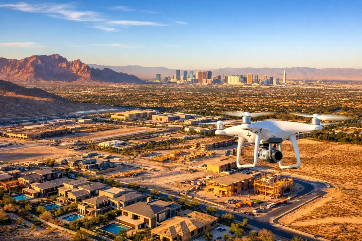
Drone photography uses uncrewed aerial vehicles (UAVs) equipped with high-resolution, stabilized cameras to capture high-definition still imagery, 4K video, and 3D spatial data from elevated angles.
Primary Industry Applications
| Application | Key Benefit | Target Industry |
| Real Estate Listings | Showcases property scale, lot boundaries, and neighborhood context. | Real Estate Agents & Brokers |
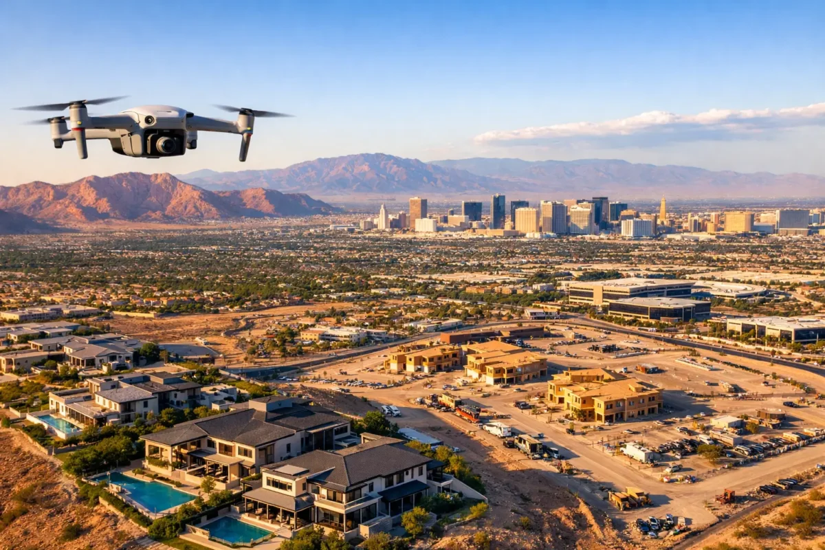
| Construction Progress | Tracks project milestones, site safety, and volumetric updates. | General Contractors & Engineers |
| Brand Marketing | Produces dynamic visuals for commercial campaigns and social media. | Advertising Agencies & Businesses |
How Do Professional Aerial Photography Services Work?
Working with a professional drone service provider involves a structured process to ensure quality and regulatory compliance:
-
Discovery & Scope: You discuss project goals, required deliverables (e.g., 4K video, orthomosaic maps, HDR stills), and site details.
-
Flight Planning & Logistics: The drone operator evaluates airspace restrictions, plans flight paths, and checks local weather forecasts.
-
On-Site Execution: An FAA-certified pilot conducts the flight mission safely and efficiently.
-
Post-Production: Images and video footage are edited, color-corrected, and processed for delivery.
Leading regional providers like Sky View LV handle all airspace authorizations (including LAANC approvals near airports) so you get high-impact media without legal friction.
What Are the Legal Requirements for Drone Photography?
In the United States, any commercial drone operation must adhere strictly to FAA Part 107 regulations.
“Commercial drone pilots must be certified under Part 107 and follow operational safety rules to ensure legal compliance.”
— Federal Aviation Administration (FAA)
Key Part 107 Compliance Rules:
-
Remote Pilot Certification: The pilot in command must hold a valid Remote Pilot Certificate.
-
Altitude & Airspace: Flights are generally capped at 400 feet above ground level (AGL) and must operate within approved airspace classes.
-
Line of Sight: Operators must maintain a visual line of sight (VLOS) with the aircraft at all times.
-
Insurance: Commercial operations require general liability insurance tailored for aviation risks.
Operating without certification or proper airspace clearance can result in severe federal fines for both the operator and the hiring client.
How Much Does Drone Photography Cost?
Pricing depends on project scope, shoot duration, location, and post-production requirements.
Estimated Service Pricing Breakdown
| Service Type | Typical Price Range | Standard Deliverables |
| Residential Real Estate | $150 – $500 | 10–20 HDR edited images, 1–2 minute 4K video |
| Construction Site Monitoring | $200 – $500 per visit | Orthomosaic maps, progress photos, raw/edited video clips |
| Commercial Marketing | $500 – $1,500+ | Custom cinematic video, full production, multi-site coverage |
How Does Drone Photography Benefit Real Estate Listings?
Aerial visuals provide buyers with immediate context regarding lot size, property lines, proximity to amenities, and surrounding landscapes. According to real estate marketing studies, listings featuring drone imagery can sell up to 68% faster than listings relying solely on traditional ground photos.
Case Example: Las Vegas Luxury Market
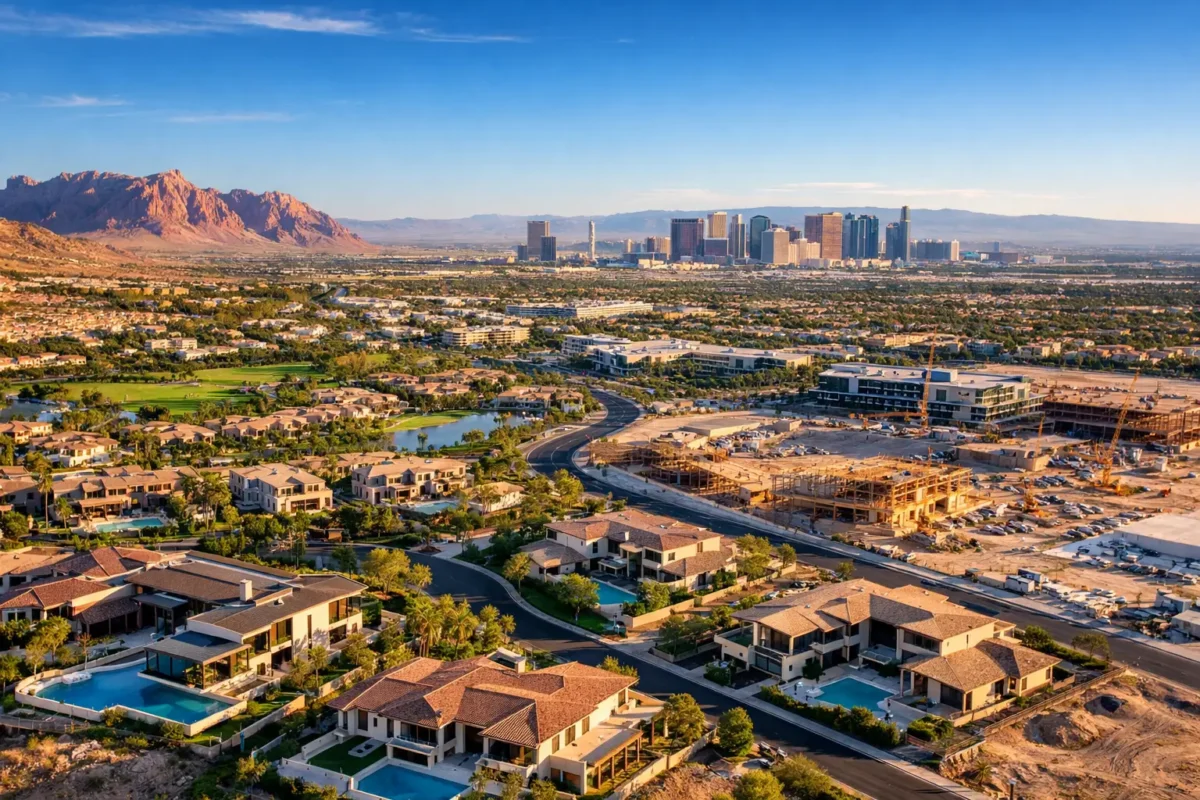
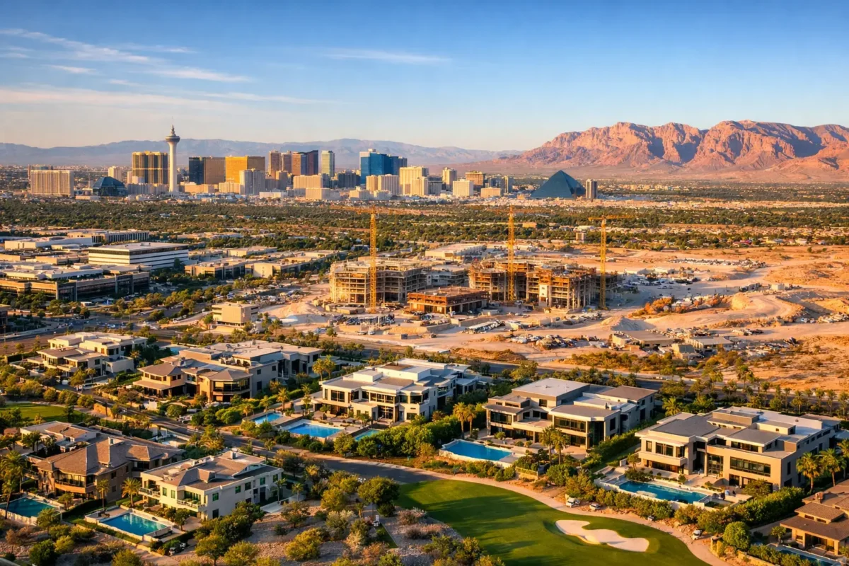
A Las Vegas real estate agent incorporated aerial drone visuals from Sky View LV to showcase a luxury home featuring panoramic desert and Strip views. Highlighting the property’s unique lot positioning quickly generated qualified inquiries, leading to a sale 30% faster than comparable market averages.
Frequently Asked Questions
Can Drones Be Used for Indoor Photography?
Yes, but with specific conditions. Micro-drones equipped with propeller guards and advanced obstacle avoidance can capture fly-through video tours of large commercial interiors, luxury open-concept homes, or industrial warehouses.
How Long Does an Aerial Drone Shoot Take?
-
Standard Residential Shoots: 45 minutes to 2 hours on-site.
-
Commercial & Construction Sites: Half-day to full-day missions, depending on site size and complexity.
What Should I Do to Prepare for a Drone Shoot?
-
Clear the Property: Remove vehicles from driveways and hide trash bins or yard clutter.
-
Secure Access: Ensure site access permissions and inform neighbors or site staff in advance.
-
Lighting: Schedule the shoot during optimal lighting hours (early morning or late afternoon “golden hour”).
How Are Drone Deliverables Received?
Deliverables are provided via secure digital cloud download links. Media files typically include high-resolution JPEGs/RAW images for print and web, along with ultra-HD 4K MP4 video files ready for MLS, social media, or marketing campaigns.
Future Trends in Commercial Drone Operations
The drone industry is evolving rapidly with emerging technologies:
-
AI-Driven Site Analytics: Automated volumetric counts and 3D site modeling for construction.
-
FPV Fly-Through Videos: Immersive, single-take video tours for commercial real estate.
-
Live Aerial Streaming: Real-time progress broadcasts for remote project stakeholders.
Choosing the Right Drone Photography Partner
When selecting an aerial media partner, ensure they possess:
-
Valid FAA Part 107 certification
-
Comprehensive commercial drone liability insurance
-
A strong portfolio demonstrating work in your specific industry
-
Professional editing capabilities and clear turnaround times
“Their aerial shots transformed my business listing from ordinary to extraordinary—it sold within weeks!”
— Jane Lattori, Verified Client
Elevate Your Visuals Today
Whether you need to capture a premier real estate listing, monitor a multi-phase construction project, or market your commercial business, aerial media makes an immediate impact.
Ready to get started? Partner with the certified professionals at Sky View LV to capture high-impact aerial imagery tailored to your business needs.

Comments are closed.