FAA Drone Authorization for Las Vegas Projects
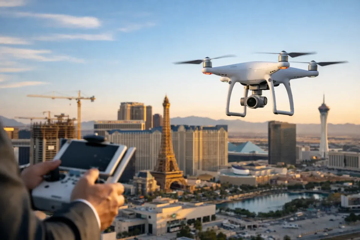
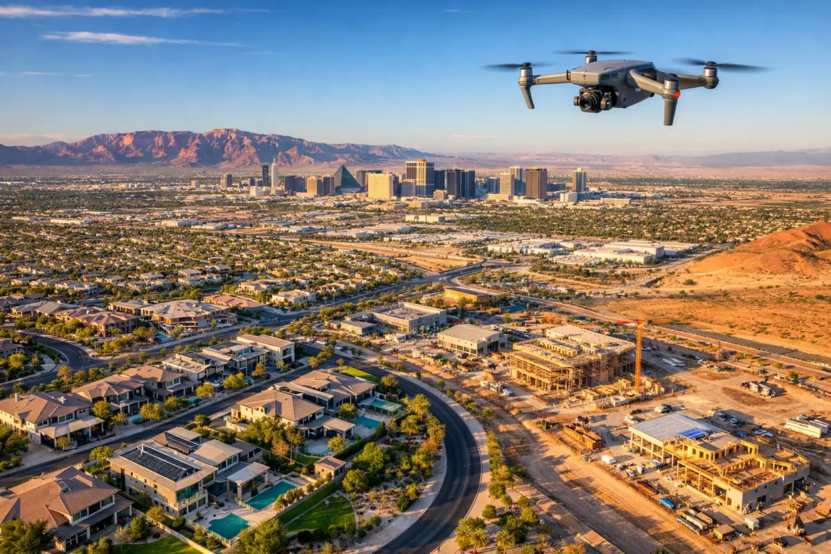
Aerial coverage can make a Las Vegas listing or development pitch more persuasive right away. It can show a home’s relationship to the Strip, a land parcel’s access points, a commercial site’s scale, or a construction project’s progress in a single frame. But before a drone ever lifts off, the flight must be evaluated for airspace, airport proximity, altitude limits, and the operation’s purpose. That is where FAA drone authorization becomes a business-critical part of professional aerial production.
For property professionals, authorization is not paperwork for its own sake. It is the process that protects a marketing schedule, reduces the risk of a canceled shoot, and keeps an impressive aerial asset from becoming a compliance problem. In a complex aviation market, hiring a qualified operator lets your team focus on the property while the pilot handles flight planning behind the scenes.
What FAA Drone Authorization Actually Means
FAA drone authorization generally refers to FAA approval to operate a drone in controlled airspace, subject to the conditions attached to that approval. Controlled airspace surrounds many airports and can include published altitude restrictions, operational limitations, or areas where a planned flight simply cannot proceed as proposed.
This is different from having a Part 107 certificate. A Part 107 remote pilot certificate qualifies a commercial pilot to conduct drone operations under the FAA’s small unmanned aircraft rules. It does not automatically grant permission to fly at any location. A certified pilot must still check the airspace for every flight and obtain authorization when required.
That distinction matters for real estate agents, developers, and construction teams. A pilot can be fully credentialed, insured, and experienced, yet a flight near an airport may still require airspace approval before it can be scheduled. Professional planning accounts for both pieces: the pilot’s qualifications and the specific airspace conditions over the project site.
Why Las Vegas Airspace Requires Real Planning
Las Vegas is built for dramatic aerial imagery, but it is also home to dense and active aviation operations. Locations around Harry Reid International Airport, North Las Vegas Airport, Henderson Executive Airport, and Nellis Air Force Base can involve controlled or sensitive airspace. A property address that appears straightforward on a map may have restrictions that alter the flight’s scope, altitude, timing, or feasibility.
For example, a commercial property may be close enough to an airport that the drone can only operate below a certain altitude. That may still be enough to capture building elevation, roof condition, parking layout, signage visibility, and nearby access. It may not be enough for a wide, high-altitude establishing shot. The right answer depends on the exact site, the desired angles, and the authorization conditions.
Military-related airspace creates another layer of consideration. Flights near sensitive areas deserve conservative planning and strict compliance. A professional drone team does not promise a specific shot until the property location and applicable restrictions have been reviewed. Instead, it builds a realistic shot plan around what can be legally and safely captured.
This is one reason aerial media should be treated as a professional production service, not a last-minute add-on. The best results come from planning the visual story and the legal flight path together.
LAANC, Airspace Approval, and Further Coordination
Many controlled-airspace requests can be processed through the Low Altitude Authorization and Notification Capability (LAANC) system. Depending on the location and requested altitude, LAANC may provide an automated authorization or help identify where a request needs additional review.
For clients, the practical point is simple: not every flight requires the same lead time. Some locations can be cleared quickly when the requested operation fits the applicable conditions. Others require more coordination, a revised flight plan, or a different production approach. Weather, temporary flight restrictions, local events, emergency activity, and changes in airspace status can also affect a previously planned shoot.
A strong drone production partner checks these details before arriving on site. That includes confirming the exact address, reviewing nearby airspace, identifying safe launch and landing areas, planning the intended altitude and camera angles, and monitoring conditions on the day of flight.
When a location cannot support the original aerial concept, there are often effective alternatives. Lower-altitude cinematic passes, oblique building views, controlled roofline shots, detail footage, and 360-degree imagery can still provide high-value marketing assets. The goal is not to force a flight. The goal is to deliver the strongest legal visual package for the property.
What a Professional Pilot Handles for Your Project
Outsourcing aerial imaging involves more than just flying. For a commercial real estate campaign, construction update, or high-end residential listing, the drone operator is responsible for the operational framework that ensures the imagery is usable and reliable.
That work includes verifying that the pilot is qualified for commercial operations, reviewing airspace requirements, securing FAA drone authorization where required, evaluating weather and visibility, assessing the site for hazards, and maintaining a visual line of sight during the flight. The pilot must also comply with applicable altitude limits and any conditions attached to the authorization.
Professional operations also require judgment. A gusty afternoon around a tall building, an active work zone, moving traffic, power lines, or pedestrians can change the best time and safest method for capturing the job. The camera may be the visible part of the service, but disciplined flight operations are what make the final media possible.
For clients, this saves time and reduces exposure. There is no need to purchase aircraft, train staff, maintain batteries, learn flight-planning systems, manage insurance requirements, or risk assigning a regulated task to someone whose primary role is sales, construction, or property management.
How to Plan an Authorized Aerial Shoot
The most efficient projects begin with a clear conversation about the property and the desired outcome. Share the address, the type of property, the intended use of the media, and any deadline tied to a listing launch, investor presentation, lease-up campaign, inspection, or construction milestone.
Next, define the shots that matter. A landowner may need parcel boundaries, road access, surrounding development, and utility context. A residential agent may need exterior stills, neighborhood proximity, backyard scale, and a cinematic video sequence. A construction team may need repeatable viewpoints that document progress from month to month.
The pilot can then evaluate the airspace and determine whether authorization is needed, what altitudes are available, and whether the requested visuals comply with operational limits. This early review prevents a common mistake: scheduling a photographer before confirming that the site can support the intended aerial concept.
Allowing reasonable lead time helps, especially for projects near controlled or sensitive airspace. It also gives the production team room to select the best time of day for light, coordinate with site access, and adjust for weather. A rushed flight may still be possible in some cases, but an organized plan produces better imagery and fewer surprises.
Authorization Does Not Replace Every FAA Requirement
An airspace authorization is a requirement for a compliant commercial drone operation. It does not remove the need to follow other applicable FAA rules. The pilot still needs to operate safely, maintain required aircraft awareness, avoid hazardous conditions, and adhere to the approved operation’s limits.
Clients should also be careful with phrases such as “we just need one quick shot.” The duration of a flight does not eliminate the rules. A short drone flight near controlled airspace can require the same careful review as a longer production. Likewise, permission from a property owner does not override FAA airspace requirements.
The good news is that clients do not need to become airspace experts to get high-impact aerial media. They need a production partner that treats compliance as part of the deliverable, not as an afterthought.
Better Visuals Start Before Takeoff
The most compelling aerial images are not accidental. They are planned around the property’s strongest selling points, the client’s marketing objective, the available light, and the legal operating environment. For a Las Vegas property, that may mean framing mountain views, nearby amenities, major corridors, skyline context, or the scale of a development without compromising operational discipline.
Sky View LV provides FAA-certified pilots, insurance coverage, and location-specific flight planning for every aerial assignment. That allows clients to pursue premium visuals with a clear understanding of what the site can support.
Aerial media earns attention when it shows people something they cannot understand from ground level. Start the conversation early, and the flight plan can turn that perspective into imagery that is both striking and responsibly captured.
Popular Posts

September 07, 2026
September 06, 2026
September 04, 2026
September 04, 2026
September 03, 2026
September 02, 2026
Comments are closed.