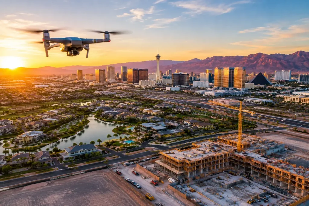
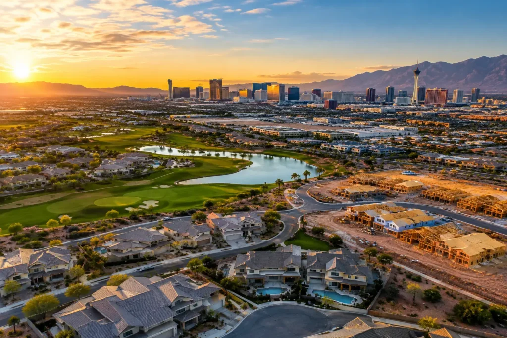
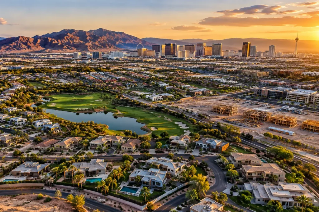
A rooftop view of the Strip, a sweeping land survey in Henderson, or a commercial flyover near the airport can make a property opportunity immediately clearer. But the Las Vegas drone airspace guide for any serious property team starts with one reality: this is one of the most aviation-sensitive markets in the country. Great aerial media requires more than a drone and a good eye. It requires sound flight planning, FAA compliance, and an operator who knows when approval is required.
For agents, developers, investors, and construction teams, that discipline protects the project as much as it protects the flight. A grounded drone operation can delay a listing launch, disrupt a site visit, or create unnecessary liability. A properly planned one delivers the polished visual advantage clients expect without risking airspace violations.
Why Las Vegas Airspace Demands More Planning
Las Vegas is surrounded by active aviation. Harry Reid International Airport sits close to major resorts, residential communities, commercial corridors, and redevelopment areas. North Las Vegas Airport, Henderson Executive Airport, Nellis Air Force Base, and other aviation activity create additional layers of controlled or sensitive airspace across the valley.
That means a location that appears suitable from the ground may have restrictions well above it. A drone flight near the Strip, Summerlin, Paradise, Enterprise, or parts of Henderson can involve controlled airspace, altitude limits, or an authorization requirement. The correct answer is rarely based on how far a property feels from an airport. It is based on the actual airspace classification, current notices, planned flight altitude, and precise takeoff location.
For commercial property marketing, the operating standard is FAA Part 107. A Part 107 remote pilot certificate is required when aerial photos or video are produced for business purposes, including real estate listings, construction documentation, inspections, development marketing, and investor presentations. The pilot must also follow applicable operating rules, register the aircraft when required, and meet Remote ID requirements unless flying under an approved exception.
Las Vegas Drone Airspace Guide: The Rules That Affect Your Shoot
The FAA generally limits small-drone operations to 400 feet above ground level. That does not mean every property can be filmed from up to 400 feet away. In controlled airspace, an authorization may set a lower maximum altitude, such as 50, 100, or 200 feet. The approved ceiling is tied to the specific location and cannot be treated as a suggestion.
Controlled airspace authorization is commonly requested through the FAA’s approved authorization systems. Some requests can be processed quickly when the desired altitude falls within published limits. Others need additional coordination, particularly when a flight is close to airport operations, military activity, approach paths, or other sensitive areas. Approval is never automatic simply because a project is small, a drone is lightweight, or the property owner has requested aerial footage.
Airspace is only one part of the equation. A compliant commercial flight also depends on conditions at the time of operation. Pilots must maintain a visual line of sight, assess weather and visibility, yield to other aircraft, and avoid operations that create an unacceptable risk to people or property. Standard Part 107 flights are generally conducted during daylight or civil twilight with proper anti-collision lighting. Flights over people, moving vehicles, or busy public areas require additional analysis and may not be permissible without meeting specific FAA requirements.
Temporary Flight Restrictions and Notices to Airmen can also change the picture quickly. Major sporting events, presidential travel, emergency response activities, wildfire operations, and security events may create restrictions that were not in place when a shoot was first scheduled. In a city built around conventions, entertainment, and large-scale events, a current airspace check is a necessity, not an administrative extra.
Airport Zones Are Not a Reason to Settle for Ground Photos
A property near Harry Reid International Airport does not automatically rule out drone imagery. It means the project needs a professional review before flight day. The same is true for properties near Henderson Executive Airport, North Las Vegas Airport, or airspace associated with Nellis AFB.
A qualified operator begins by mapping the exact address and identifying the airspace, published altitude grid, nearby heliports, approach routes, and likely flight profile. A low-angle facade reveal may be workable where a high, wide establishing shot is not. A flight plan can be adjusted around approved altitude limits while still showing a building’s scale, adjacent roads, surrounding amenities, and access points.
This is where production experience matters. The goal is not merely to obtain permission to fly. It is to design a legal flight that produces images with a business purpose. For a retail center, that may mean emphasizing ingress, parking, signage, and nearby traffic corridors. For a luxury home, the value may be in showing lot size, backyard features, golf-course adjacency, and the relationship to the skyline or mountains. A lower approved altitude can still yield a commanding result when the shot list is intelligently designed.
A Better Pre-Flight Process for Property Projects
Professional aerial work should be planned before the crew arrives at the site. The most efficient projects start with a clear understanding of the marketing objective, not a generic request for drone photos.
Before a Las Vegas drone shoot, a capable operator should confirm these core items:
- The exact property address, site boundaries, and desired viewpoints
- Whether the work is commercial and requires Part 107 operations
- Airspace classification, altitude limits, and authorization requirements
- Current weather, temporary restrictions, and nearby aircraft activity
- Site hazards such as power lines, cranes, reflective glass, crowds, traffic, and construction equipment
This planning also shapes the production schedule. A construction site may require coordination with the superintendent so the drone can document active progress without interfering with crews. A high-end residential listing may benefit from a golden-hour exterior session, but the timing must still align with approved operating conditions, neighborhood considerations, and the property’s readiness.
Clients can help by sharing the listing address, project goals, target launch date, and any required views as early as possible. If a developer needs to show a parcel’s proximity to highways, retail, schools, or a future phase of construction, those priorities should guide the flight plan and editing process. Better inputs create more useful deliverables.
Property Rights, Privacy, and Site Access
FAA airspace approval does not replace permission to access private property. A pilot needs a safe and lawful place to launch, land, and work. On multifamily, commercial, or construction sites, the owner, manager, or authorized representative should coordinate access and identify operational boundaries.
Privacy also deserves practical attention. Aerial media should focus on the subject property and the story it needs to tell, not on neighboring homes or people who have no connection to the project. This is especially relevant in dense residential areas, gated communities, and active job sites. Professional crews use purposeful framing, controlled flight paths, and thoughtful editing to keep the visual narrative centered on the asset.
Land-management rules can add another layer. Certain public lands, park units, and managed facilities have restrictions on drone launch or landing, even when the surrounding FAA airspace appears open. The flight location must be reviewed from both perspectives: the air above the property and the ground from which the operation will occur.
When Hiring a Professional Saves More Than Time
Running a compliant drone operation internally means more than buying equipment. It involves pilot certification, aircraft registration, insurance, Remote ID compliance, airspace research, authorization requests, flight planning, weather assessment, on-site safety decisions, media capture, and post-production. For a one-time listing or a fast-moving development opportunity, that workload can cost more than it saves.
Professional aerial production provides property teams with a single point of accountability. The pilot can evaluate feasibility, secure the necessary authorization when available, tailor the capture plan to the project, and deliver finished visuals built for listing platforms, presentations, websites, social media, and investor communications.
Sky View LV brings FAA-certified drone pilots, insurance coverage tailored to professional projects, and experience operating in sensitive Las Vegas airspace. That combination is especially valuable when a property sits near airport zones or when the visual brief calls for more than a quick overhead image.
Common Planning Questions
Can a drone fly near Harry Reid International Airport?
Sometimes, but only when the airspace review and authorization process supports the requested operation. The permissible altitude may be limited, the request may require extra lead time, and changing airport or event conditions can affect the final plan. Do not schedule a flight based on a map screenshot or an assumption that a short flight will be overlooked.
How much lead time should a property team allow?
It depends on the project’s location and complexity. An address in less restrictive airspace may be easier to schedule than one near an airport, a military installation, a major event venue, or an active construction site. Providing the address and shot goals early gives the operator time to assess feasibility and avoid last-minute changes.
Is aerial footage worth it if the drone cannot fly very high?
Often, yes. The strongest property shots are not always the highest ones. Oblique angles can show facade quality, parking layout, rooftop features, site access, neighboring amenities, and the scale of a development with far more relevance than a distant top-down view. The right altitude is the one that communicates value while staying within the authorized limits.
The best aerial projects begin with an address, a visual objective, and a pilot who treats compliance as part of the creative process. When those pieces are in place, Las Vegas airspace becomes a planning consideration rather than a barrier to showing a property from its most compelling angle. Sky View LV