Tips for Taking Excellent Real Estate Drone Photos
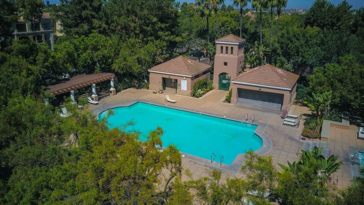
Essential Tips for Taking Excellent Real Estate Drone Photos
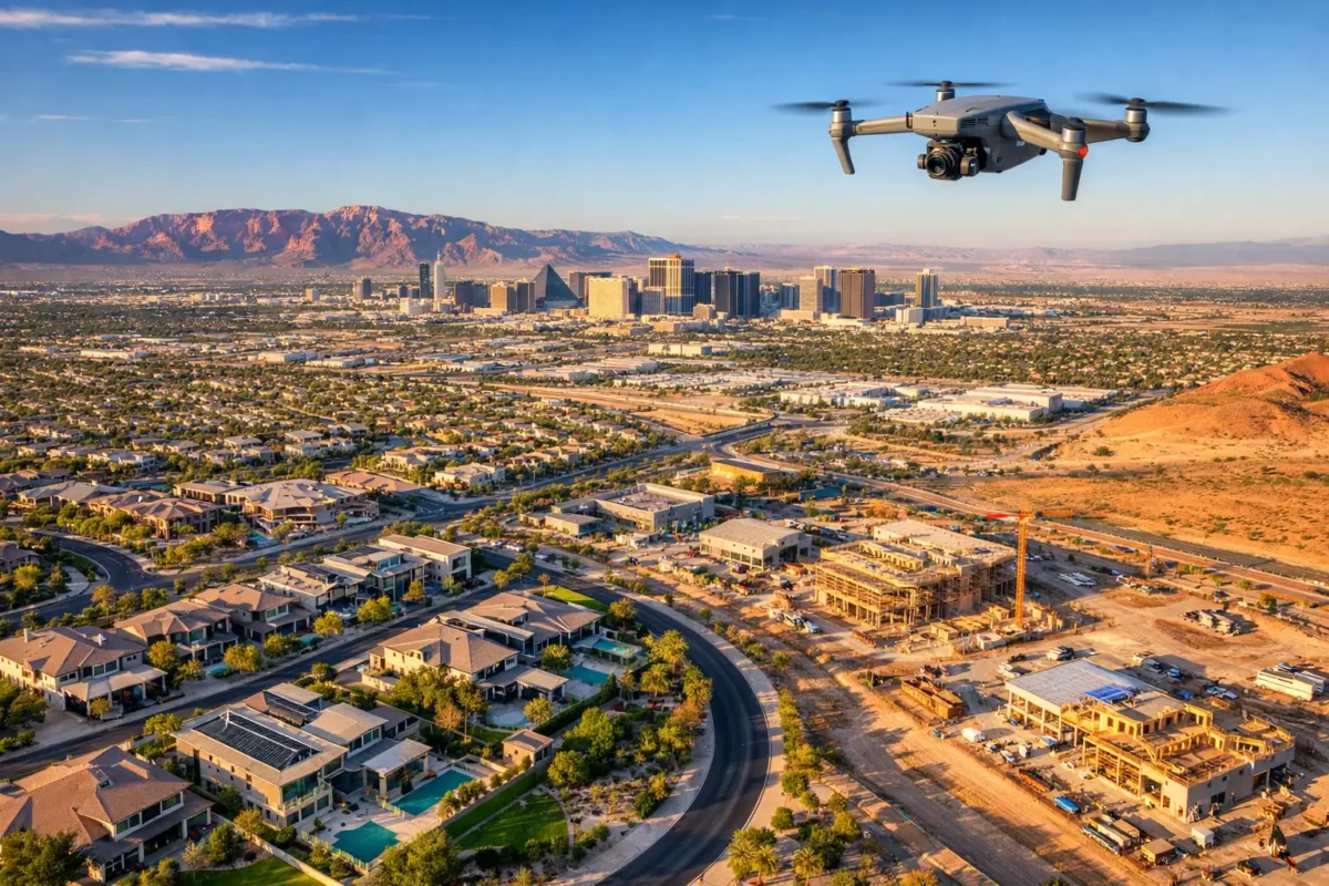
Aerial photography has emerged as an invaluable asset for showcasing residential properties and luxury homes. High-quality drone photos of real estate provide spatial context, highlight outdoor living areas, and make property listings stand out in competitive markets.
Whether you are a seasoned pilot or a professional photographer expanding your portfolio, this guide covers the core techniques, technical settings, and safety protocols necessary to capture captivating aerial real estate images.
Key Takeaways
-
Prioritize Safety: Always conduct a pre-flight inspection and verify local drone regulations before takeoff.
-
Time the Shoot Right: Schedule flights during optimal lighting conditions, like the Golden Hour, for warm, dimensional shots.
-
Highlight Unique Features: Use aerial perspectives to frame property lines, outdoor amenities, and neighborhood context.
-
Dial in Manual Settings: Use RAW formats, low ISO, and balanced shutter speeds to maximize image clarity.
-
Plan a Shot List: Map flight paths in advance to capture a mix of wide, establishing shots and close-ups of key features.
1. Safety Precautions and Pre-Flight Checks
Safety must always be the top priority in commercial drone operations. Before every flight, complete a standardized pre-flight checklist:
-
Inspect propellers, body frame, and battery life for visible wear or damage.
-
Check local airspace regulations (such as LAANC authorizations in restricted zones).
-
Evaluate local weather conditions, paying close attention to wind speeds and visibility.
Performing these checks protects your equipment, keeps bystanders safe, and protects your professional reputation.
2. Choosing the Best Time for Real Estate Drone Photos
Lighting and weather heavily impact the quality of real estate photography.
-
Golden Hour: Flying shortly after sunrise or late in the afternoon produces soft, warm light and subtle shadows that bring architectural textures to life.
-
Mid-Day Overhead: Works well for mapping entire property boundaries or nadir (top-down) views, though harsh shadows may need correction in post-processing.
-
Clear Sky Days: A blue sky adds natural contrast against rooftops and landscaping, making the home pop in listing thumbnails.
3. Highlighting Key Property Features
Showcasing Property Layout and Scale
Ground-level photos struggle to convey total acreage or lot shape. Aerial views contextualize how the home sits on the land, clearly showing driveway access, yard depth, and boundary lines relative to surrounding lots.
Capturing Outdoor Amenities
Elevated photography makes it easy to highlight features that are difficult to shoot from the ground:
-
Swimming pools, outdoor kitchens, and patios.
-
Roof condition, solar panel installations, and custom stonework.
-
Landscaping layout, private gardens, and acreage.
Emphasizing Location and Unique Selling Points
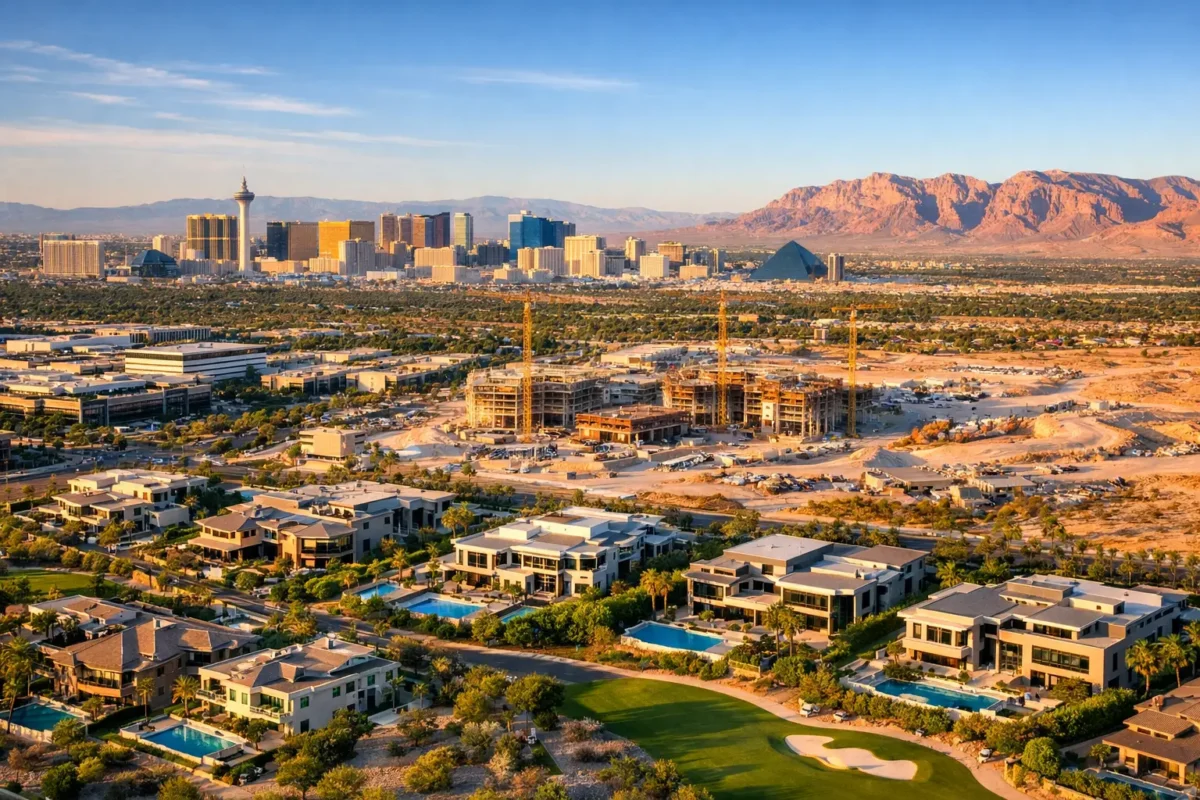
Adjust altitude to frame the property’s environment. If a listing boasts proximity to parks, golf courses, bodies of water, or scenic mountain ranges, position the drone at 50 to 100 feet to capture both the residence and its surroundings.
4. Technical Setup and Camera Settings
Post-Processing Techniques
Editing transforms raw aerial images into polished assets. Use editing tools like Adobe Lightroom or Photoshop to:
-
Balance high-contrast skies and shaded ground areas.
-
Adjust white balance so building materials and lawns look natural.
-
Remove distracting minor elements, such as trash cans or temporary lawn clutter.
5. Flight Path Planning and Shot Selection
Walk the grounds before taking off to identify optimal camera heights and angles. Prepare a shot list that includes:
-
Establishing Shots: Wide, high-angle perspectives that capture the entire property and its context.
-
360-Degree Mid-Range Orbits: Capturing all four elevations of the home.
-
Top-Down (Nadir) Shots: Directly overhead photos outlining lot boundaries.
-
Low-Altitude Feature Sliders: Close-up aerial angles of entryways, decks, or pool areas.
6. Legal, Ethical, and Privacy Considerations
-
Privacy Rights: Avoid pointing sensors directly toward neighboring windows or private outdoor spaces without explicit consent.
-
Commercial Certification: Ensure compliance with local aviation authorities (such as holding an FAA Part 107 Remote Pilot Certificate in the US).
-
Neighborly Awareness: Fly responsibly and maintain safe distances from surrounding structures and non-participating individuals.
7. Maximizing Real Estate Marketing Value
Integrating aerial imagery across multiple digital touchpoints increases buyer engagement:
-
Primary Listing Photo: Use an impressive aerial photo as the main thumbnail for properties where lot size, views, or architecture are the core selling points.
-
Virtual Tours & Video Teasers: Blend drone footage into 3D virtual walkthroughs to provide a seamless transition from exterior to interior spaces.
-
Social Media & Ads: Eye-catching aerial visuals achieve higher click-through rates on platforms like Instagram and Facebook.
Frequently Asked Questions
What certifications are needed for real estate drone photography?
In most regions, commercial drone operations require a formal remote pilot license (such as the FAA Part 107 in the US or CAA authorizations in the UK) and commercial liability insurance.
How high should a drone fly for real estate photos?
Flight altitudes between 30 and 150 feet work best for real estate. Mid-range heights (40–80 feet) highlight architectural features, while higher altitudes showcase acreage and neighborhood context.
Can drone photography help listings sell faster?
Yes. Listings utilizing aerial imagery consistently generate higher viewer engagement, better qualify interested buyers, and present properties in their best possible light.
Real estate drone photography is a recent advancement in the field that you should adopt to increase your property’s valuation. As noted below, people prefer multiple options, so ensure you have enough of the best angles and high-quality photographs. If you’re looking for the best drone real estate photography services in Las Vegas and the surrounding areas, you can find them at Sky View. For more information and suggestions, get in touch with us at Sky View LV
Popular Posts

September 07, 2026
September 06, 2026
September 04, 2026
September 04, 2026
September 03, 2026
September 02, 2026
Comments are closed.