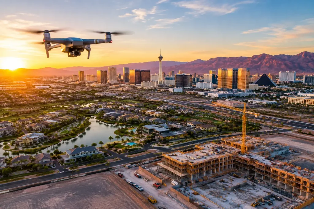
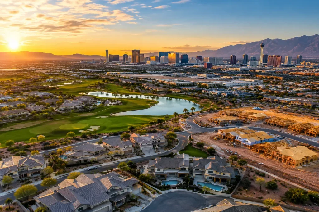
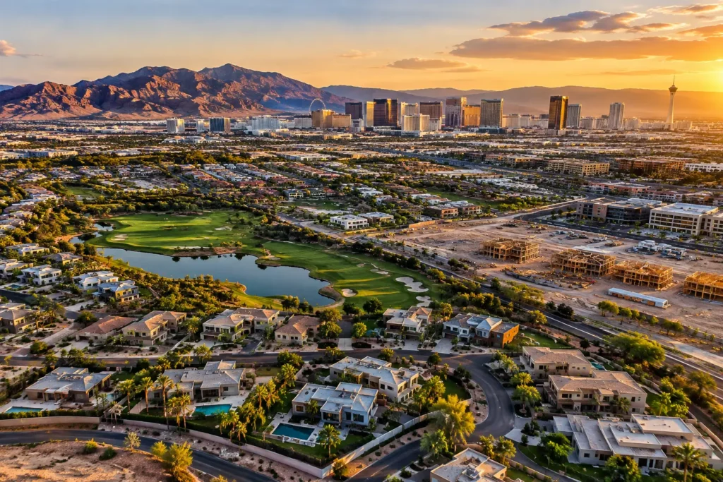
A vacant parcel near the Strip, a luxury home in Henderson, or a commercial site beside a major corridor can look unremarkable from street level. From above, the same property can show its footprint, access points, views, nearby amenities, traffic patterns, and relationship to the surrounding market. That is why hiring a Las Vegas drone photography company should be a business decision, not an afterthought added to a listing.
Aerial media gives buyers, tenants, investors, and project stakeholders the context they need to understand an opportunity quickly. But in Las Vegas, great footage is only part of the assignment. Commercial drone work also requires flight planning, FAA compliance, insurance, weather judgment, and a pilot who understands how to work around controlled airspace. The right provider brings those pieces together and delivers polished media that is ready to support a sale, lease, development plan, or construction update.
Aerial media should answer business questions.
The strongest drone images do more than create a dramatic opening frame. They make a property easier to evaluate. For residential listings, aerial stills can establish lot size, backyard layout, roof condition, nearby parks, golf courses, and views of mountains or cities. A video can create a natural progression from the neighborhood to the exterior to key outdoor features.
For commercial real estate and land, the value is often even more direct. Aerial imagery can show road frontage, ingress and egress, adjacent uses, nearby retail, utility corridors, site boundaries, and the scale of a building or development area. A thoughtfully planned flyover helps an investor or prospective tenant see what a site offers without relying on a confusing map or a long explanation.
Construction teams use aerial captures differently. Regular site imagery creates a visual record of progress, documents major milestones, and gives off-site stakeholders a clear view of conditions. It can also support planning conversations when teams need to see staging areas, roof work, access routes, or the relationship between structures on a large site.
The format should follow the goal. A high-end residence may need cinematic video and a select set of high-resolution stills. A land listing may benefit more from clear, elevated images that show boundaries and proximity to major roads. A construction project may need consistent angles captured on a recurring schedule. Premium production is not always about using every available shot. It is about producing the right visual evidence for the decision at hand.
Why the Las Vegas flight experience matters
Las Vegas is an exceptional market for aerial imaging, but it is not a casual place to fly. Much of the valley sits near complex or controlled airspace associated with Harry Reid International Airport, Nellis Air Force Base, and other aviation activity. A beautiful property location does not automatically mean a drone can take off there.
A qualified operator evaluates the address, airspace, requested altitude, time of flight, nearby operations, and the mission’s specific purpose before arriving on site. Depending on the location, authorization may be required, flight parameters may be limited, or the project may need to be scheduled differently. Conditions can also change, so proper planning is not a one-time checkbox.
This is where a professional provider protects the client. An FAA-certified remote pilot understands the operating rules, has a process for securing appropriate authorization when available, and knows when a requested flight is not advisable. That expertise prevents a marketing assignment from becoming a delay, a compliance issue, or an unnecessary risk.
Insurance matters for the same reason. Property professionals should confirm that their provider carries commercial drone coverage appropriate to the assignment. Aerial work around active construction, occupied properties, commercial facilities, and high-value homes deserves a provider that treats risk management as part of the service, not an afterthought.
What to look for in a Las Vegas drone photography company
Start with credentials, then look closely at the quality and intent of the work. FAA certification and commercial insurance are foundational. They indicate that the operator is prepared for professional missions, but clients should also ask how the pilot handles airspace review, site assessment, and changing weather conditions.
Next, review whether the visual style fits the property and audience. Real estate photography requires clean composition, correct exposure, and a clear sense of place. Commercial flyovers need purposeful coverage of access, scale, and surrounding infrastructure. Construction imagery benefits from repeatable viewpoints and organized deliverables. A reel of fast-moving skyline shots may be impressive, yet it does not prove that a provider can document a 20-acre development or present a home with care.
Communication is another practical measure of quality. Before the flight, a good provider asks what the media needs to accomplish, which features matter most, where the final assets will appear, and whether any timing constraints apply. During production, the pilot should work efficiently and respectfully around occupants, crews, and scheduled activity. Afterward, the files should be delivered in usable formats with editing that supports the client’s marketing or reporting needs.
It is also worth asking about the difference between a drone hobbyist and a commercial production partner. The lower quote is not always the lower cost. If an operator cannot legally fly the location, lacks insurance, misses key features, or hands over unedited footage that requires additional work, the apparent savings disappear quickly.
Plan the shoot around the property’s story.
The best aerial session begins before the drone leaves its case. Share the property address, project type, intended audience, key selling points, and preferred delivery timeline. For land and commercial sites, identify boundaries, access points, nearby anchors, or planned improvements that should be visible. For homes, note exterior upgrades, pools, views, neighborhood amenities, and any areas that should not be filmed.
Timing can significantly affect the finished look. Early morning and late afternoon often create more dimension, softer shadows, and warmer colors. Midday may be useful when the priority is bright, even coverage of a large site. Wind, heat, haze, and seasonal conditions can influence both the flight plan and the final image quality, particularly in the desert.
Access should be considered as well. A pilot may need a safe launch area, advance coordination with property management, and awareness of people, vehicles, equipment, or ongoing work on site. For construction documentation, consistency is valuable, so the same established flight positions can be used from one progress update to the next.
A 360-degree photo sphere may be the right addition when viewers need to understand the full setting from a specific viewpoint. It can be especially effective for elevated views, development sites, resort-adjacent locations, and properties where the surrounding environment strengthens the story. It is not a replacement for stills or video in every case, but it can give online viewers a more complete sense of place.
Professional production saves more than flight time
Buying a drone does not create a reliable aerial marketing department. Internal production requires equipment selection, maintenance, pilot training, certification, flight planning, insurance, editing skills, and time away from revenue-producing work. It also places the responsibility for regulatory decisions on the aircraft operator.
Outsourcing gives brokers, developers, property managers, and construction teams a clear path from project brief to finished assets. At Sky View LV, that process begins with a free consultation to identify the property’s goals, required approvals, visual priorities, and ideal deliverables. The result is tailored aerial media rather than generic footage gathered without a plan.
For a single listing, professional aerial work can help a property earn attention before a buyer ever schedules a showing. An investment package can make it easier to communicate a location and development thesis. For a construction team, it can create a dependable visual record that keeps distant stakeholders connected to the site.
Choose a provider such as Sky View LV that sees the property from all perspectives: the creative angle that earns attention and the operational angle that makes the flight responsible. When those standards meet, the view from above becomes more than a striking image. It becomes a practical advantage for the next conversation, showing, proposal, or decision.