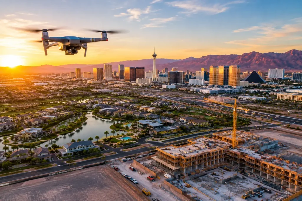
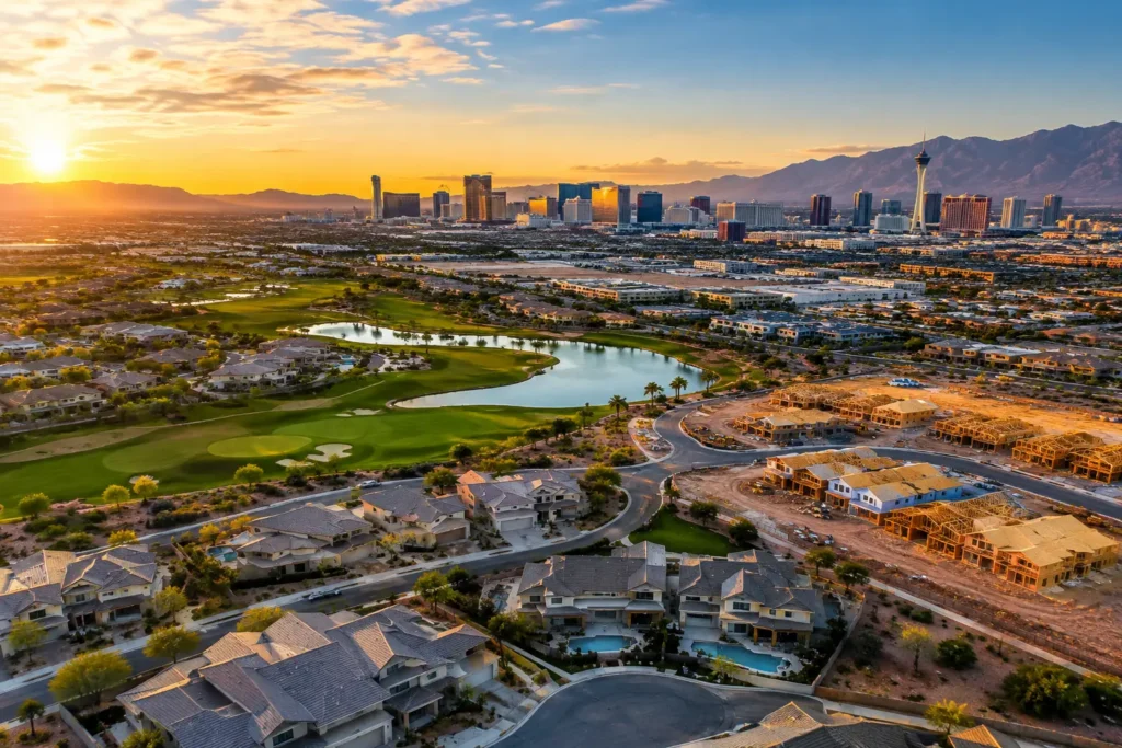
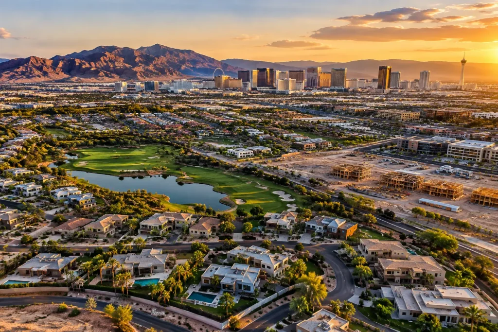
Aerial media can make a North Las Vegas listing, development site, or commercial property far more persuasive. It can also place a routine-looking shoot close to military operations and controlled airspace. Understanding the drone rules near Nellis Air Force Base is not a paperwork exercise. It is the difference between a polished, legal production and a flight that should never leave the ground.
For property professionals, the practical takeaway is simple: do not assume an open desert view, a vacant lot, or a location just outside the installation fence is available for drone operations. Every site requires current airspace research, a precise launch location, and a flight plan built around the day of the shoot.
Why Nellis-area drone flights need extra planning
Nellis Air Force Base supports active military aviation, training operations, and security-sensitive activity. Aircraft movements can be frequent, fast, and unlike the predictable traffic a pilot may encounter around a small civilian airport. The surrounding area may also be affected by controlled, restricted, or special-use airspace, temporary flight restrictions, Notices to Airmen, and local operational conditions.
That does not mean every nearby real estate or construction project is automatically off limits to drones. It means the location alone cannot answer the question. A property’s address may fall near a boundary, while the intended takeoff point, flight altitude, and direction of travel create a very different airspace picture.
A professional flight plan begins with coordinates, not assumptions. The pilot confirms the exact site, checks the current airspace classification and published restrictions, evaluates the requested altitude, and reviews whether authorization is available for that location and time. If the airspace cannot be legally accessed, the proper decision is to adjust the concept, reschedule, or keep the aircraft on the ground.
FAA authorization is not permission to enter the base
One point causes frequent confusion: FAA airspace authorization and permission to operate on military property are separate matters.
If a drone flight is eligible for FAA authorization in controlled airspace, that authorization may establish an approved ceiling and operating conditions for the airspace. It does not grant permission to launch from, land on, fly over, or enter Nellis Air Force Base property. Installation access, security rules, and property-owner approval remain separate requirements.
The same principle applies to adjacent sites. A pilot needs permission from the person or entity that controls the launch and landing area. For a commercial project, that may be the owner, builder, property manager, leasing representative, or site superintendent. On an active construction site, coordination also protects workers and prevents disruptions to cranes, equipment, deliveries, or safety operations.
For a client, this separation matters because a verbal assurance that a property is “near the base but not on it” is not enough to clear a flight. Compliance depends on the actual airspace and the actual operating location.
Commercial drone work requires Part 107 discipline
When aerial content is being created to market a listing, document construction, support leasing, or present an investment opportunity, it is commercial work. The remote pilot should hold an FAA Remote Pilot Certificate under Part 107 and operate within the applicable Part 107 rules, authorizations, and waivers.
A compliant commercial operation generally requires a visual line of sight, a preflight inspection, appropriate weather evaluation, and attention to people, vehicles, structures, and obstacles on the site. The pilot must also follow registration and Remote ID requirements that apply to the aircraft and operation. Depending on the assignment, additional considerations can include operations near people, early-morning or evening lighting conditions, and coordination with a visual observer.
The 400-foot rule is often oversimplified. Part 107 generally limits operations to 400 feet above ground level, with a provision that can allow a drone to fly higher when it remains within 400 feet of a structure. That rule does not override controlled-airspace altitude limits. If an authorization specifies a lower ceiling, that approved ceiling controls.
This is why a skilled aerial team asks questions before promising a shot list. A 360-degree view, a high establishing pass, and a close architectural reveal may each have different operational implications near Nellis.
What changes from one Nellis-area property to another
Two projects a few miles apart can require completely different decisions. Airspace boundaries do not follow neighborhood marketing maps, ZIP codes, or the easy logic of major roads. A home in one community may have a workable authorization path, while a nearby parcel falls in an area where the requested altitude is unavailable, or restrictions make the operation impractical.
Timing can change the answer as well. Airspace status, temporary restrictions, military activity, weather, and local safety factors are all time-sensitive. A flight plan prepared last week is a useful background, not a substitute for a day-of-flight review.
The visual objective matters, too. A low-altitude exterior reveal from a controlled private site may be more feasible than broad, elevated coverage that reaches toward a sensitive boundary. This is not a reason to settle for generic images. It is a reason to design the aerial sequence intelligently, with the strongest legal and safe vantage points in mind.
A better pre-production process for property teams
The fastest way to lose time is to schedule a drone shoot as though it were ordinary ground photography. A short pre-production conversation can identify airspace concerns before a photographer, agent, seller, crew, or construction team is waiting on site.
Provide the exact property address or pin location, the desired date and time window, and the intended deliverables. For a land listing, note whether you want boundary context, road access, nearby amenities, or a wider development view. For construction documentation, identify active work zones, staging areas, crane locations, and preferred angles. For commercial properties, explain whether the goal is tenant marketing, investor communication, progress reporting, or a sales package.
A qualified pilot can then determine whether the request has a viable path, whether to request airspace authorization, and whether the shot list needs to be refined. Authorization processing is not something to leave until the morning of the shoot. Some locations can support near-real-time authorization workflows when available, while others may require more planning or may not be suitable at all.
A practical client checklist includes four items:
- Confirm the exact launch and landing location, not just the property’s mailing address.
- Secure site access and coordinate with the owner or project lead.
- Share the intended visual goals early, especially if you want elevated panoramic coverage.
- Leave scheduling flexibility for airspace, weather, and on-site safety conditions.
Those few steps reduce last-minute surprises and help the production team focus on creating useful media rather than resolving preventable access issues.
Avoid the shortcuts that create risk
The most expensive drone decision is often the one made to save a few minutes. Flying from a nearby parking lot to bypass a site-access question, assuming a low flight needs no airspace review, or using a recreational operator for a commercial listing can create compliance and liability problems. The footage is not worth the exposure.
Avoid relying on old screenshots of airspace maps, social media advice, or a previous pilot’s experience at a different address. Aviation information is dynamic. Current official data and a location-specific evaluation are what matter.
Clients should also be cautious about anyone who guarantees a flight before reviewing the site. A dependable operator can be confident about the process without making promises that ignore changing operational conditions. The right answer may sometimes be, “We need to verify that first.” That is expertise, not hesitation.
Questions clients ask about drone flights near Nellis
Can I fly a drone in my own backyard near Nellis Air Force Base?
Property ownership does not determine the airspace rules above the location. You may also need to consider controlled airspace, current restrictions, local safety conditions, and applicable FAA requirements. If the flight is for business, marketing, or any other non-recreational purpose, Part 107 rules apply.
Does airspace authorization guarantee a shoot can happen?
No. Authorization addresses airspace access under the stated terms. The pilot must still evaluate weather, aircraft condition, site hazards, people on the ground, property access, and any updated restrictions. A professional operator makes a go/no-go decision based on the full picture.
Can a drone film Nellis Air Force Base from outside the fence?
Do not plan a project around filming the installation. Military facilities carry security and operational sensitivities, and an FAA airspace authorization does not grant permission to conduct imagery of the base or to enter its property. Keep the production focused on the client’s approved property and the legal, safe views available from that site.
When your property needs aerial coverage near Nellis, the value of a professional pilot is not just the aircraft or the camera. It is the judgment behind every decision before takeoff. Sky View LV helps clients turn complex Las Vegas airspace considerations into a clear production plan, so the final images earn attention for the property without compromising compliance or safety.