What a Las Vegas Drone Company Should Deliver
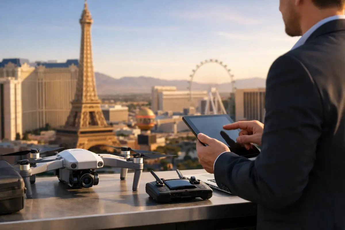
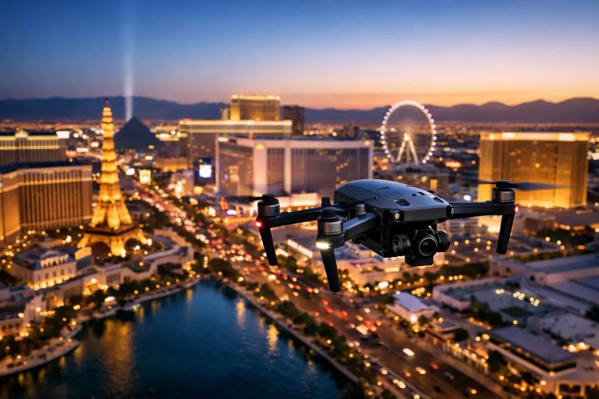
A property can look impressive from the street and still fail to communicate its real value online. A Las Vegas drone company changes that equation by showing scale, access, views, lot boundaries, nearby amenities, and the relationship between a property and its surroundings in a few decisive images or a short cinematic video.
For real estate professionals, developers, investors, and construction teams, aerial media is not a novelty add-on. It is a practical way to answer the questions buyers and decision-makers ask before they ever schedule a visit: Where is it? What sits around it? How much land is available? What does the site connect to? How is the project progressing?
The right production partner should bring more than a drone and a camera. They should bring commercial flight discipline, visual judgment, local airspace knowledge, insurance, and a clear understanding of what your audience needs to see.
Why aerial imaging earns attention in Las Vegas
Las Vegas is a visual market with dramatic contrasts. A high-rise residence can have Strip views, mountain views, golf course frontage, or a location advantage that ground photography cannot fully convey. A land parcel may need to show highway access, utilities, adjacent development, and its proximity to major employment or resort corridors. A commercial property may need to establish parking capacity, rooftop condition, surrounding traffic patterns, and tenant visibility.
Ground-level photography remains essential, but it tells only one part of the story. Aerial photography establishes context quickly. It helps a buyer understand the complete asset rather than assemble a mental picture from disconnected images.
That context matters most when a listing competes against dozens of similar-looking properties. Interior finishes may be attractive, but the aerial perspective can reveal the differentiator: an oversized lot, an elevated view corridor, a private drive, a nearby trail system, or a strategic location near major transportation routes.
Video adds another dimension. A well-paced aerial sequence can move from a broad neighborhood view toward the property, then transition to key exterior and interior assets. The result feels intentional and polished, not like a collection of photos placed in a listing portal.
What a Las Vegas drone company should handle
Commercial drone work involves far more than launching from a convenient open space. A professional operator plans each flight around the property, the requested deliverables, lighting conditions, weather, site hazards, and applicable aviation rules.
In the Las Vegas Valley, airspace is often the deciding factor. Many properties sit near controlled or sensitive areas associated with Harry Reid International Airport, Nellis Air Force Base, and other aviation operations. A pilot who understands these conditions can evaluate whether a proposed flight is possible, what authorization may be required, and how to plan a legal operation around approved limits.
No responsible provider should promise that every location can be flown at every altitude or on every schedule. Airspace permissions, temporary restrictions, weather, and site conditions can affect a mission. What clients should expect is an operator who identifies those issues early, communicates plainly, and does not place a marketing deadline above safe, compliant flight.
FAA certification is the foundation. For commercial work, clients should also verify that the provider carries appropriate liability insurance and can supply documentation when a property manager, developer, or site superintendent requires it. Insurance coverage in the $1 million to $10 million range can be especially valuable for higher-risk commercial sites, active construction projects, and large-scale developments.
Flight planning protects the project and the schedule
Strong aerial work begins before the pilot arrives. The planning conversation should define the property’s purpose, intended audience, required angles, and final media format. A broker marketing a luxury home needs a different shot list than a developer presenting a future mixed-use site to investors.
For a residential listing, the focus may be lot lines, pool areas, outdoor living spaces, views, and neighborhood context. For commercial marketing, the priority may shift to building footprint, access points, parking, surrounding retailers, road visibility, or distance to demand drivers. For construction documentation, repeatable flight paths and consistent angles are often more useful than a one-time cinematic highlight reel.
Timing also shapes results. Early morning or late afternoon light can bring depth and warmer color to a property. Midday may be more practical for documenting active work, minimizing long shadows, or matching a client’s schedule. There is no single “best” time to fly. It depends on the property, season, orientation, and the message the final media needs to deliver.
Aerial media should serve a business purpose
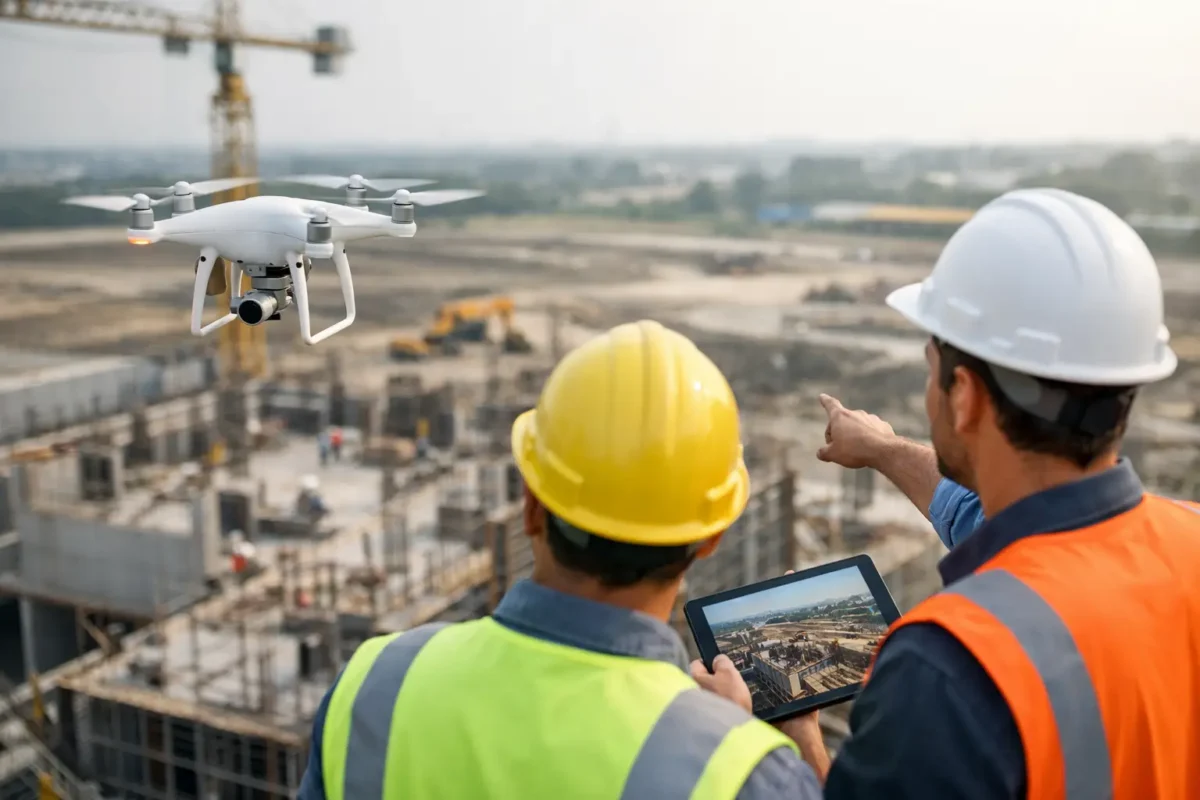
The strongest drone deliverables are designed around a decision, not just visual excitement. A landowner preparing a parcel for sale may need high-resolution stills that make acreage and surrounding access easy to understand. A property manager may need current exterior imagery to support leasing materials. A construction team may need recurring imagery to document milestones, coordinate stakeholder updates, and create a visual record of site progress.
Aerial photo spheres can be particularly useful when a viewer needs to look in every direction from a specific vantage point. They help communicate views from an elevated floor, a development site, or a rooftop location before a buyer visits in person. Used correctly, they turn a static marketing package into a more informative experience.
For investor communication, aerial imaging can simplify complex stories. Instead of explaining a site’s relationship to nearby resorts, medical campuses, freeways, retail centers, or planned development, a carefully framed image can show it. That clarity can reduce back-and-forth and give a presentation more credibility.
Still photography and video do different jobs
High-resolution aerial stills are often the workhorse of a marketing package. They fit listing platforms, brochures, pitch decks, offering memorandums, signage, and social media. A single properly composed still can communicate the full footprint of a property in seconds.
Video is better suited to movement, sequence, and atmosphere. It can establish a location, guide the viewer toward the asset, and build a sense of arrival. Video works especially well for luxury residences, hospitality-adjacent properties, larger commercial sites, and developments where scale is part of the value proposition.
The best choice is frequently both, but not always. If a property needs an immediate listing refresh and the essential story is location and parcel size, stills may provide the best return. If the campaign requires a polished presentation for a prominent asset or investment audience, video can justify the additional production scope.
The hidden cost of doing drone work internally
Owning a drone does not automatically make aerial production cost-effective. Internal teams still need a qualified pilot, commercial credentials, equipment, insurance, flight planning, location review, safe operating procedures, editing capability, and time to manage all of it.
That workload can distract an agent, marketing coordinator, or project manager from the work they do best. It can also create avoidable risk when a team is unfamiliar with controlled airspace, property permissions, or the limits of a particular flight authorization.
Outsourcing lets the client focus on the property and the message. The aerial team handles the operational side, then delivers media shaped for the agreed marketing or documentation use. Sky View LV approaches each project as a tailored production assignment, beginning with a free consultation to identify the asset, flight conditions, and visual priorities before the cameras leave the ground.
Questions to ask before booking aerial production
Before selecting a provider, ask whether the pilot is FAA certified for commercial work, insured at a level appropriate for the project, and experienced with local Las Vegas airspace. Ask how they evaluate airspace restrictions and whether they will communicate potential limitations before the scheduled shoot.
It is also worth asking about deliverables. Will you receive edited high-resolution photos, a finished video, raw footage, vertical social clips, photo spheres, or construction-progress images? Clarifying this upfront helps prevent a mismatch between what was captured and what your marketing team actually needs.
Finally, discuss turnaround and access. A reliable provider will explain what they need from you, such as property access, site contacts, branding direction, safety requirements, and any priority shots. On active job sites, the superintendent’s coordination can be just as important as the flight plan.
Aerial media works best when it is planned with the same care as the property campaign itself. Give your drone partner the business objective, the audience, and the access they need, and the finished visuals can make the property’s strongest advantage impossible to overlook.
Popular Posts
August 14, 2026
August 13, 2026
August 13, 2026
August 12, 2026
August 11, 2026
August 09, 2026
Comments are closed.