Aerial and drone photography in Las Vegas
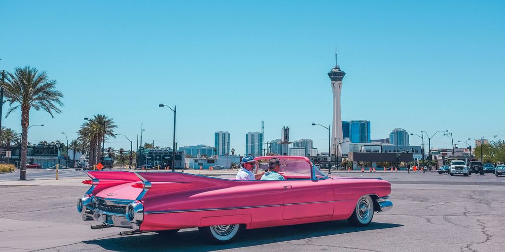
Sky-High Views: The Ultimate Guide to Aerial & Drone Photography in Las Vegas
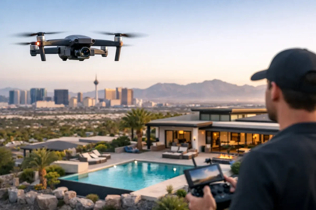
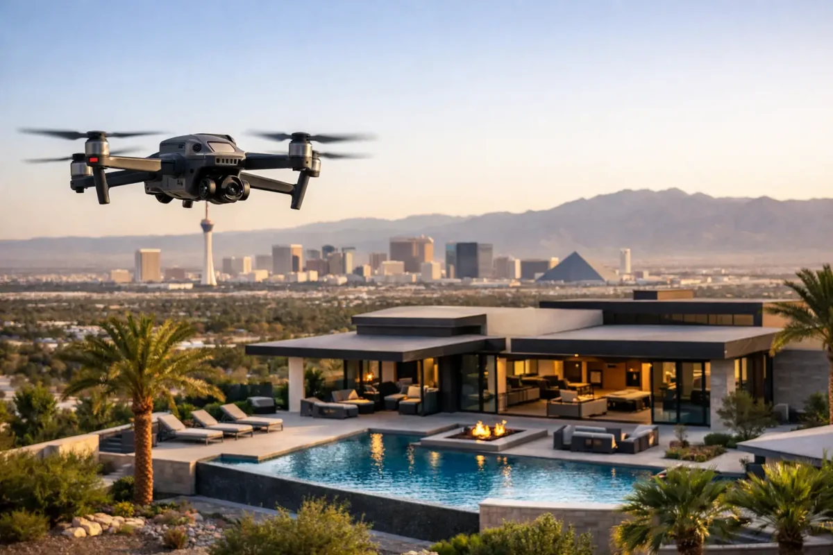
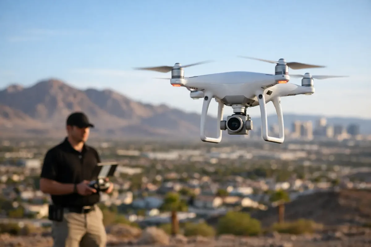
Las Vegas is a city that never sleeps, and its vibrant energy is best captured from above. Aerial and drone photography have revolutionized our view of this iconic city. From the bright lights of the Strip to the rugged beauty of the surrounding desert, drones offer a unique perspective once reserved only for expensive helicopter flyovers.
This comprehensive guide examines the rise of drone photography in Las Vegas, highlighting top locations for stunning imagery, key commercial applications, and essential FAA guidelines for responsible flying.
Key Takeaways
-
A New Perspective: Drone technology offers breathtaking aerial views of both urban landmarks and desert landscapes.
-
Accessibility: Rapid technological advancements have made high-quality aerial photography accessible to both hobbyists and commercial pilots.
-
Diverse Applications: Drone services are essential across real estate, film, construction, and event marketing.
-
Compliance is Critical: Flying legally requires strict adherence to FAA regulations, Part 107 certification, and local airspace rules.
The Rise of Aerial & Drone Photography in Las Vegas
Historical Context & Modern Advancements
In the early days, capturing aerial footage of the Las Vegas skyline required hiring fixed-wing aircraft or helicopters—a costly endeavor limited to major film productions. Today, modern unmanned aerial systems (UAS) are equipped with high-resolution 4K/8K cameras, advanced gimbal stabilization, and obstacle-avoidance systems. These innovations allow photographers to capture cinema-grade visuals at a fraction of the original cost.
Popular Applications Today
Drones provide crucial imagery across various commercial sectors:
-
Real Estate: Highlighting luxury estates and commercial property layouts.
-
Events & Entertainment: Capturing large-scale concerts, festivals, and outdoor gatherings.
-
Marketing & Documentation: Creating dynamic promotional content for hospitality and local businesses.
Top Locations for Drone Photography in Las Vegas
Whether you are looking for dazzling neon lights or dramatic natural geometry, Southern Nevada offers diverse backdrops.
Choosing the Right Drone Service in Las Vegas
Selecting the right drone operator ensures high-quality results while avoiding legal liabilities.
Key Factors to Evaluate
-
FAA Part 107 Certification: Ensure the pilot holds an active FAA Remote Pilot Certificate for commercial flight.
-
Insurance Coverage: Verify that the service provider holds general liability insurance ($1M to $10M depending on project scale).
-
Portfolio & Equipment: Confirm they use professional-grade drones and cameras suited to your project needs.
-
Client Reviews: Look for feedback regarding punctuality, image quality, and regulatory compliance.
Service Provider Spotlight
-
Sky View LV: Offers photography and videography utilizing advanced techniques, FAA Part 107 licensed pilots, and up to $10M in liability insurance coverage.
Legal & Safety Guidelines for Operating in Las Vegas
Las Vegas features heavily restricted airspace due to the proximity of Harry Reid International Airport (LAS), North Las Vegas Airport (VGT), and Nellis Air Force Base. Strict adherence to rules is essential.
FAA & Local Regulations
-
Airspace Approvals: Operators must obtain authorization via FAA LAANC or DroneZone before flying in Class B, C, D, or E controlled airspace.
-
Altitude Limits: Keep drone flights at or below 400 feet AGL (Above Ground Level).
-
Line of Sight: Always maintain Visual Line of Sight (VLOS) with the aircraft.
-
No-Fly Zones: Avoid flying directly over non-participating people or moving vehicles without specific FAA waivers. Drones are strictly banned in city parks and over critical infrastructure.
Industry Applications
1. Real Estate & Architecture
Aerial photos provide potential buyers with a comprehensive overview of property boundaries, neighborhood layouts, and luxury features like pools and landscaping.
2. Construction & Site Inspections
Drones facilitate site mapping, volumetric calculations, and progress monitoring, reducing the risk of manual inspection for workers.
3. Film, Media & Events
From live-streamed sports events to Hollywood action shots, drones replace bulky crane setups to deliver dynamic, high-angle motion shots effortlessly.
4. Agriculture & Search and Rescue
Beyond commercial media, multispectral drone cameras evaluate crop health in farming, while thermal sensors assist first responders during nighttime search-and-rescue efforts.
Training and Certification for Drone Pilots
If you want to turn drone flying into a career in Nevada, proper credentials are mandatory:
-
Part 107 Test Prep: Enroll in structured online courses (e.g., Pilot Institute, DroneDeploy Academy) to prepare for the FAA knowledge exam.
-
LAANC & Airspace Familiarization: Practice navigating digital flight mapping tools (e.g., AirHub Portal, Aloft) to handle airspace requests smoothly.
-
Advanced Mapping Skills: Expand into aerial photogrammetry (e.g., Pix4D) to offer specialized surveying services.
Frequently Asked Questions
What is aerial and drone photography?
It is the process of capturing images or video from an elevated position using remote-controlled unmanned aircraft (UAS) equipped with specialized camera sensors.
Do I need permission to fly a drone on the Las Vegas Strip?
Yes. The Strip sits directly in controlled Class B airspace. Commercial and recreational pilots must obtain LAANC authorization before taking off.
How high can I fly a drone in Las Vegas?
The standard maximum altitude set by the FAA is 400 feet above ground level (AGL), though specific grid limits may apply in controlled airspace near local airports.
What is required to fly a drone commercially in Nevada?
You must pass the FAA Aeronautical Knowledge Test to earn a Part 107 Remote Pilot Certificate, register your drone, and follow state/local permitting rules.
Popular Posts
August 05, 2026
August 05, 2026
August 03, 2026
August 03, 2026
August 01, 2026
August 01, 2026
Comments are closed.